


Similar Products
- Sale

- Sale
- Sale


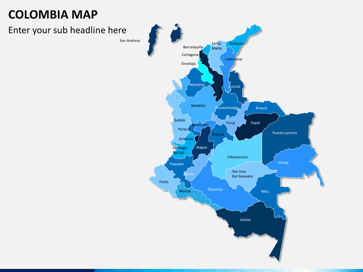
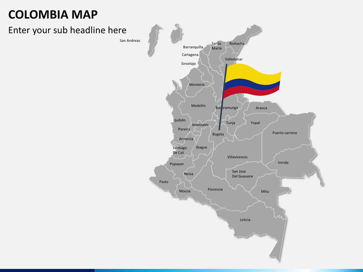
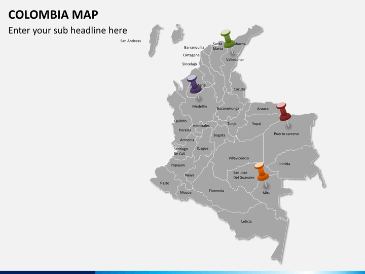
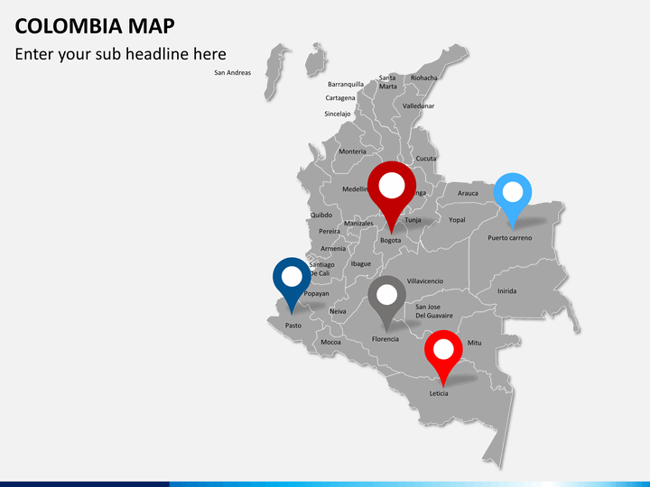
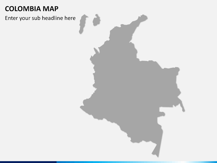
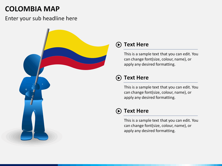
Our Colombia Map PowerPoint template is a combination of 8 editable slides, all of which carry beautiful graphic representations depicted in the map of the region.
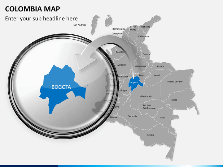
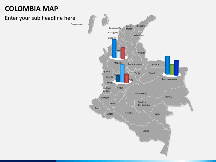
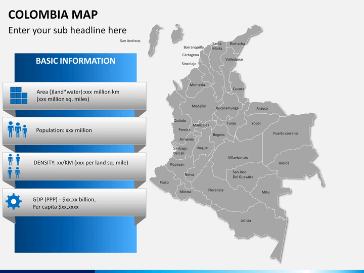
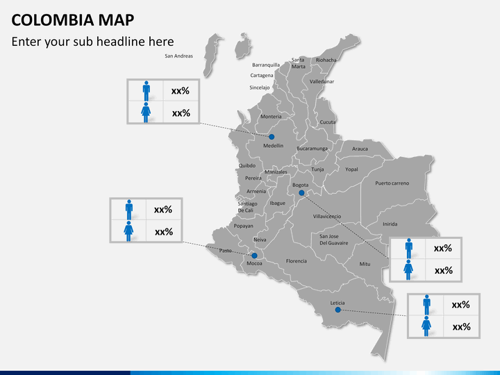
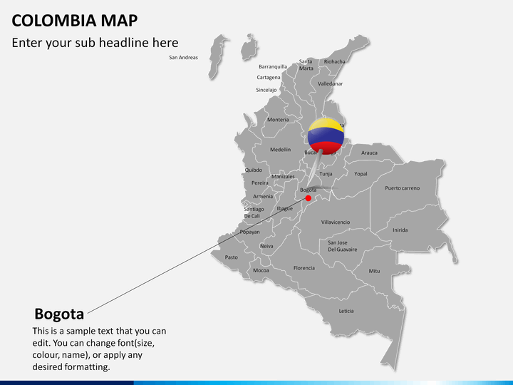
If you plan to deliver a presentation on plans which are based on operations in Colombia, then this template set will prove to be apt for you. You can mark different regions in different colors to illustrate different characteristics of these regions based upon data. You can focus on specific characteristics by marking them accordingly and elaborating their features to your audience.
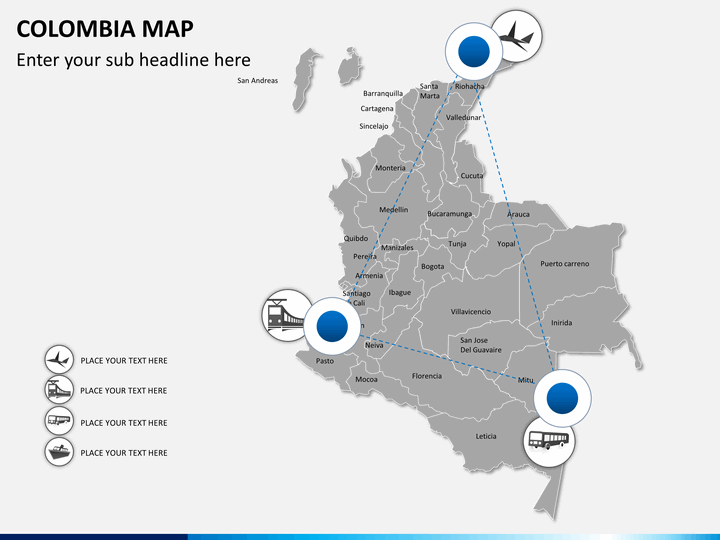
You can add text boxes to describe specific territories and the data related to them which is relevant according to your presentation. The set also contains slides which can help you to illustrate different routes as well as modes of traveling in the country from one city to another. This template can be used to easily demonstrate tours and trips in the region, or for explaining the biodiversity or resources in different districts or to explain business prospective and plans in different regions of the country. The scope for imagination is endless. The slides are fully editable, and you can extend slides and resize as well as add and delete graphics according to your requirements.
About
Colombia marks the presence of large forests and diversified ecosystems. The country is situated in the northern region of South America and features mountains, greenery and large coffee plantations. The country recognizes Bogota as its capital city. This country is deeply related to Spanish culture and heritage, with the official language of the country being Spanish. The country is situated on the northern tip of South America and features beautiful beaches on the Caribbean coast and colonial architecture within its cities. People here show commendable hospitality and the beauty of this country mesmerizes every person who visits Colombia.
Write Your Own Review

Related Products


