


Similar Products
- Sale

- Sale
- Sale


Dominican Republic Map PPT is a collection of beautiful maps that can be used to showcase the geographical aspects and other information of the Dominican Republic- a Caribbean country, in a visually appealing manner. The set is pre-designed and 100% editable, perfect for any presentation related to business, marketing, education, etc.
Using these user-friendly maps, startup owners and business development managers can highlight the cities where they have their offices and the areas where they want to expand the business. Marketing and sales executives can showcase marketing campaigns, revenue generation, customer base, partnership, etc. in different regions. Educators can use this set to demonstrate the detailed information of the country, like population, GDP, vegetation literacy rate, etc. Travelers can use it to spot the major attractions they have visited and share their specialties with their friends.
So, download our deck right now and engage the audience!
Useful Attributes of the Template
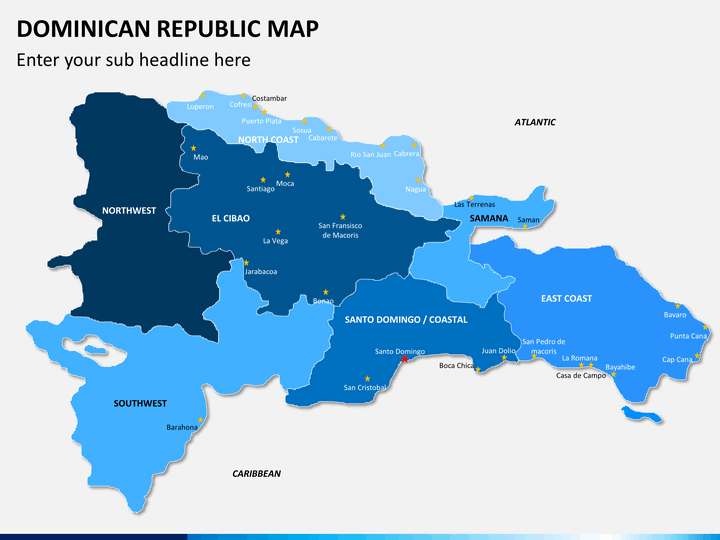
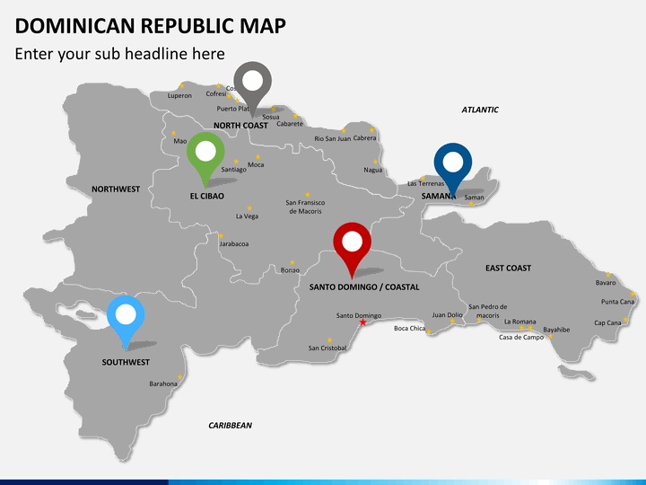
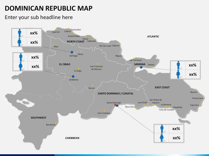
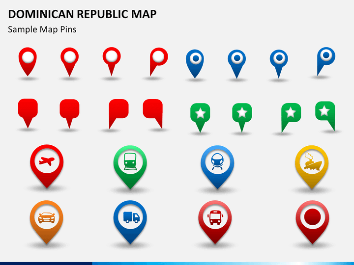
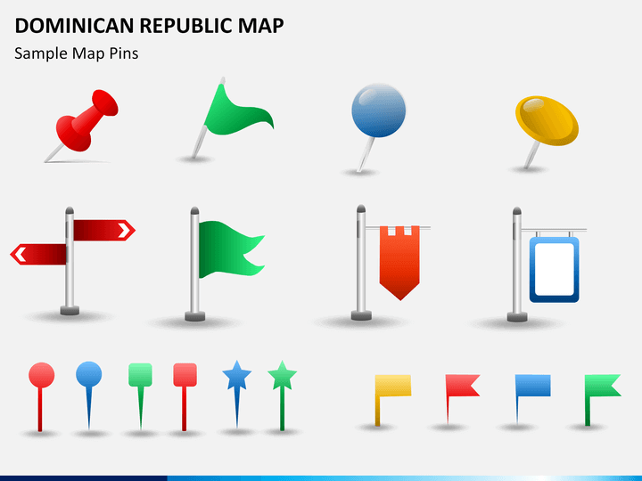
- GPS markers and map pins: These icons can be used to highlight any specific city or area on the map to grab the attention of the audience.
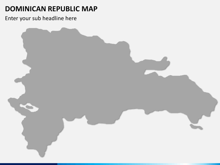
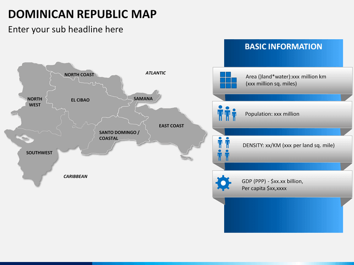
- Empty map: You can use it to highlight any particular business information.
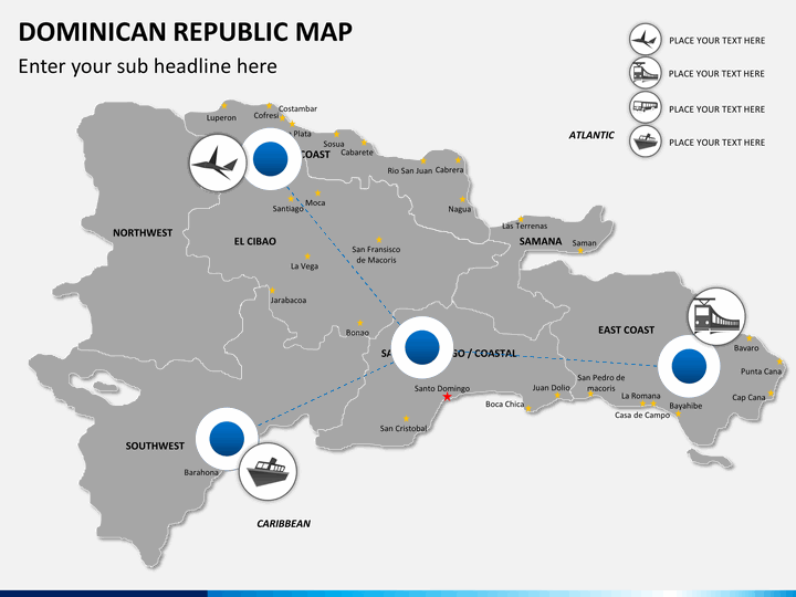
- In one of the slides, routes are marked clearly, which can be used to communicate how to reach different places through different transportation mediums.
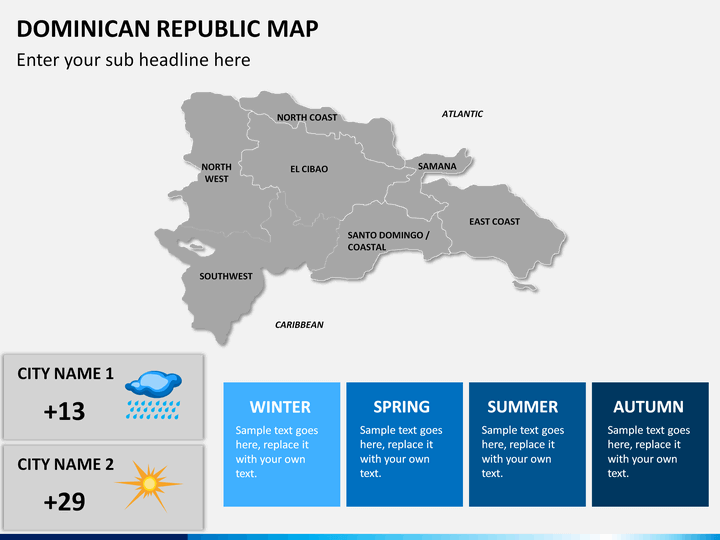
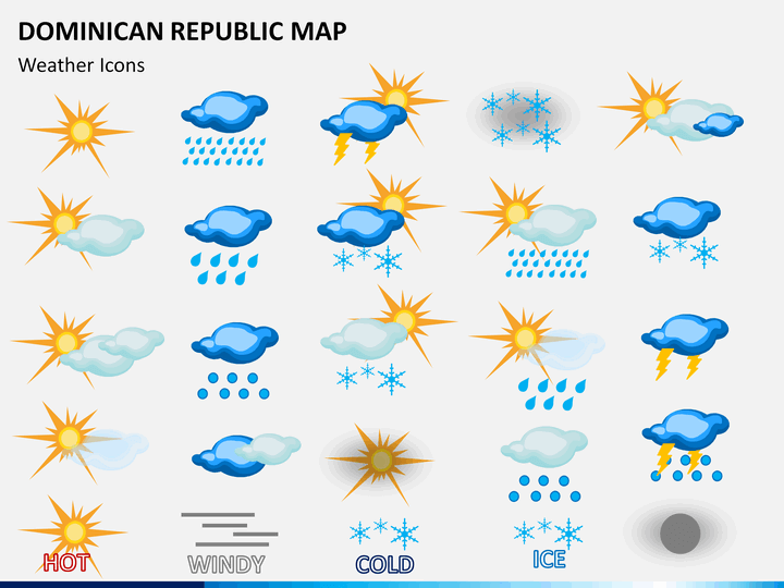
- Weather icons beautifully depicting the hot, windy, cold, ice, rain, and thundering can be used by meteorologists to represent the climatic conditions of different cities of the country.
- Some of the slides display zoomed images of the major cities.
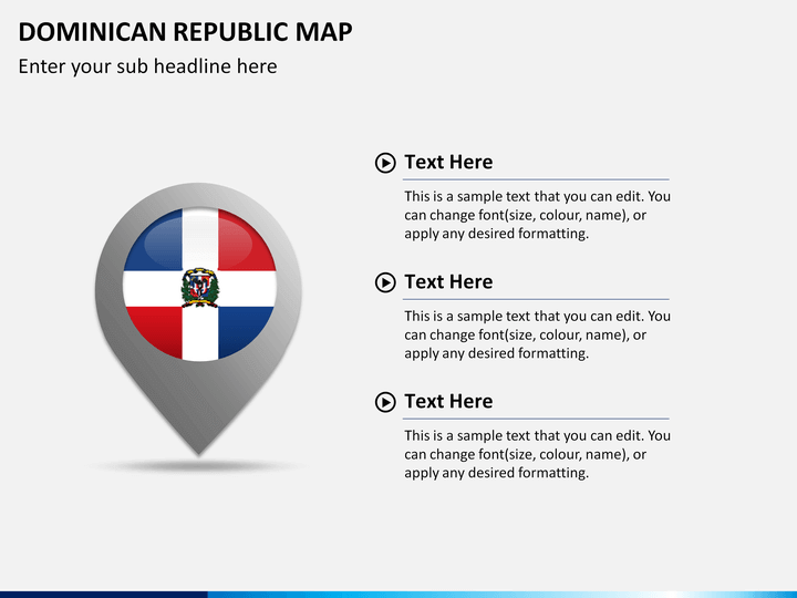
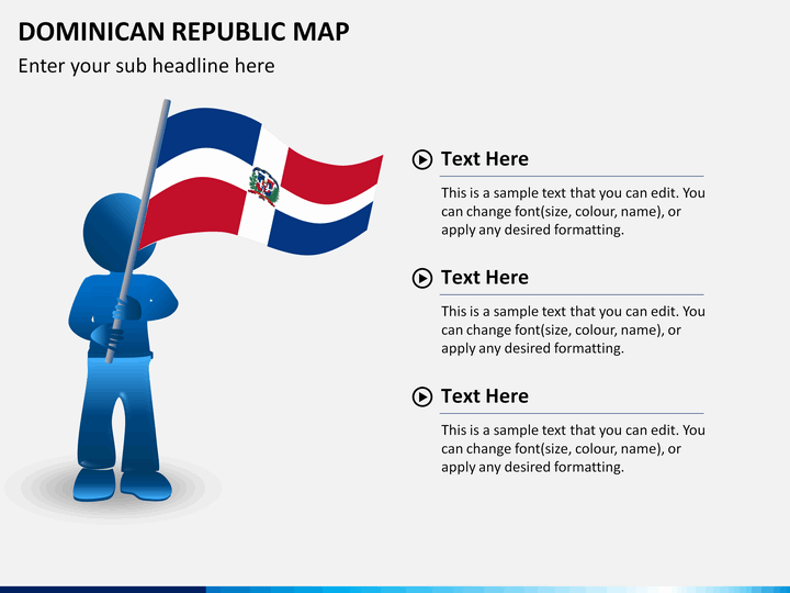
- One of the slides demonstrates a man with the flag of the country.
Multiple Features in One Deck
Our well-skilled designers have come up with different designs of the maps. Every minute component is designed from scratch to avoid copyright issues. There are text placeholders where you can add on your own content.
- HD and vector-based infographics have been well incorporated.
- You can increase or decrease the size and change the color of any map without worrying about its resolution.
- You can easily copy any visual element and paste it in any of your presentations.
- Once downloaded, you can re-use it multiple times without re-downloading it.
- It is compatible with multiple platforms like MS PowerPoint, Apple Keynote, and Google Slides.
Download our professionally-built Dominican Republic Map PowerPoint template right away!
Write Your Own Review

Related Products


