


Similar Products
- Sale

- Sale
- Sale


With our Libya Map PowerPoint template, you can make your slides more informative with minimal effort. You don't need to have designing or editing skills to use it and integrate it into your existing presentations. The maps are easy-to-edit, so you can add, remove, or edit text, icons, and graphics according to your needs.
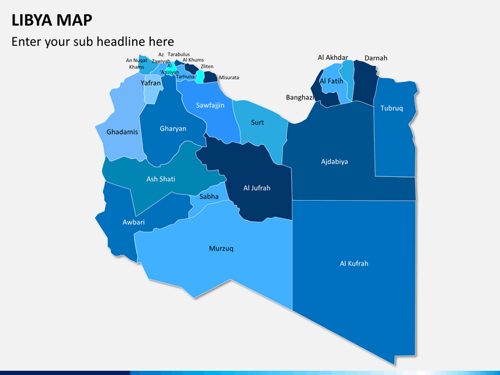
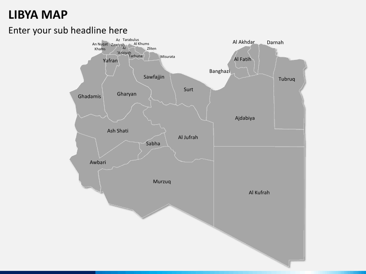
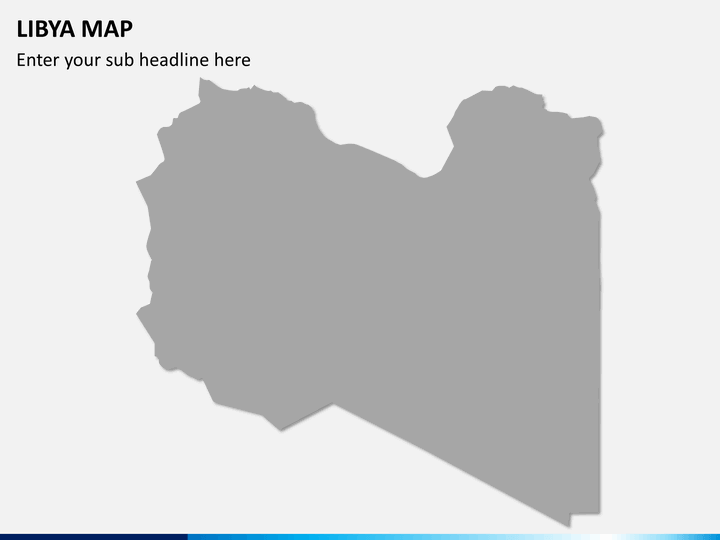
Creating a map from scratch for your presentation is a time-consuming task and involves loads of effort. Our dedicated designers have crafted this feature-rich set containing professionally-designed maps to make your work easier and save you ample time. Using these maps, you can showcase various geographical and demographic information of this North African country to your clients, customers, and other stakeholders in a visually appealing manner.
Multipurpose Set
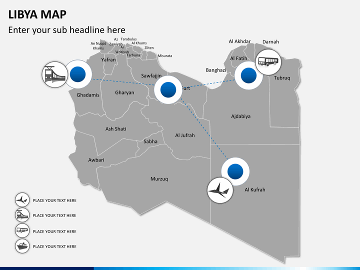
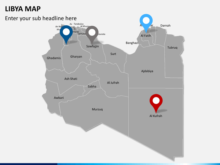
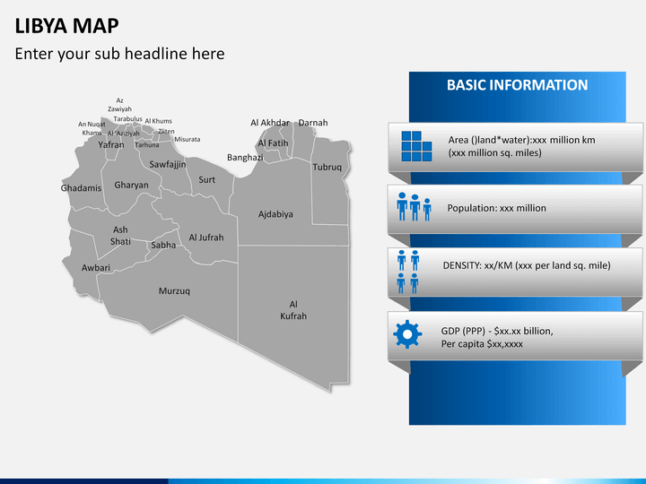
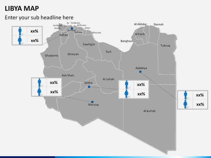
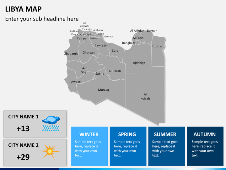
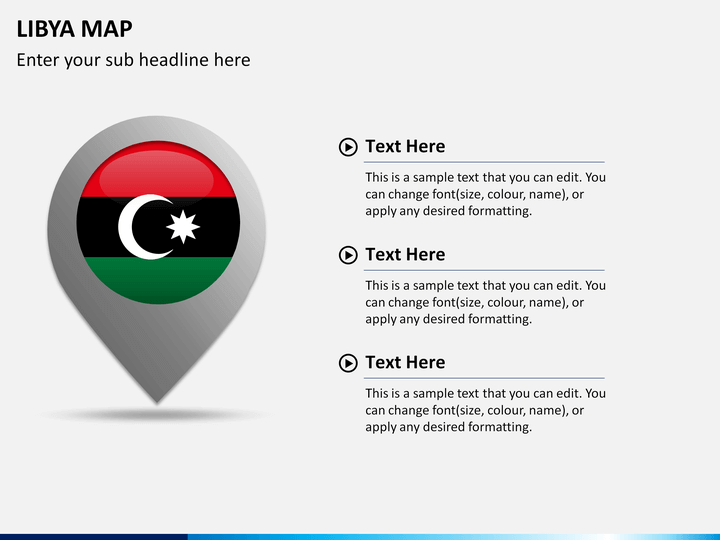
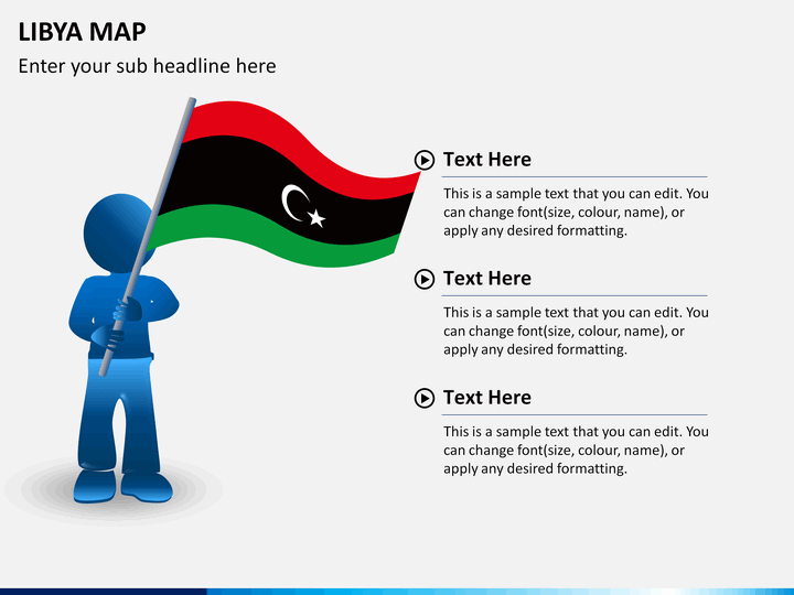
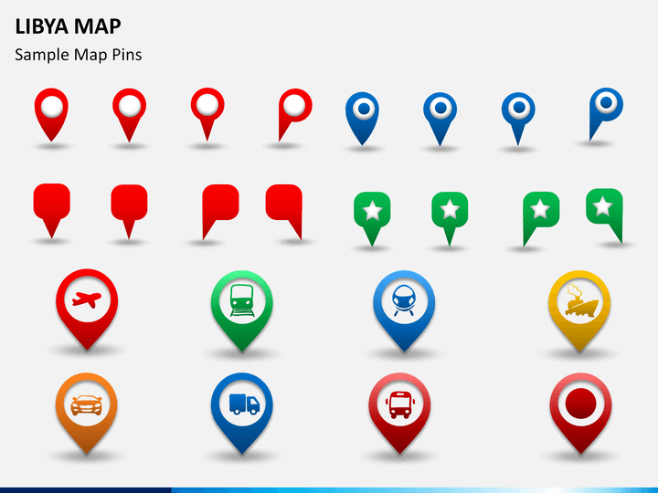
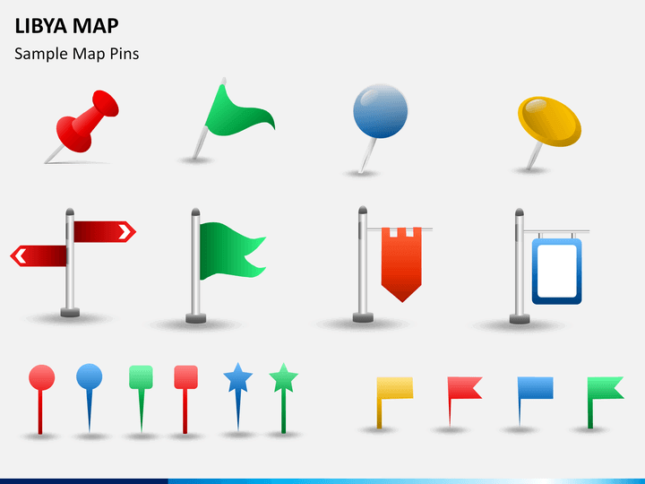
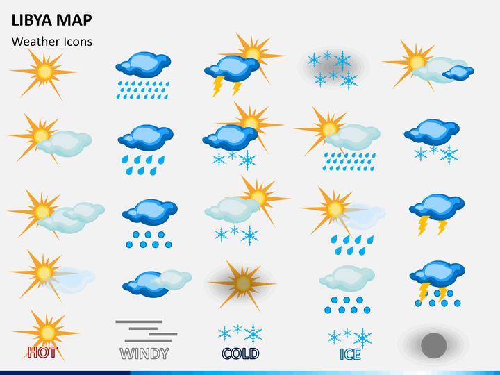
There are various maps in the Libya Map PPT that depict the magnified images of the significant cities, icons of GPS trackers and map pins, weather icons, routes and transportation mediums for different areas, etc. You will also get a slide showcasing bar charts in some areas. One of the slides portrays a man holding the flag of Libya.
Our deck is the perfect addition to your existing and future presentations to discuss key regional information such as population size, population density, GDP, vegetation, culture, climatic conditions, etc. Further, you can use it to demonstrate the location of your offices, revenue generation from various business units located in various regions of the country, customer base, and much more.
We have made our template available for Microsoft PowerPoint, Apple Keynote, and Google Slides with separate files for each. Download it now!
Features to Enhance Your PPT
- The high-definition vectors have been used to craft these maps and make them compatible with all screen sizes.
- Download it once and use it infinite times.
So, get this set now to deliver an information-rich slideshow!
Write Your Own Review

Related Products


