
Mauritius Map for PowerPoint and Google Slides
(16 Editable Slides)


Mauritius Map for PowerPoint and Google Slides

SB772
Available For


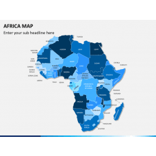
Similar Products
- Sale

- Sale
- Sale


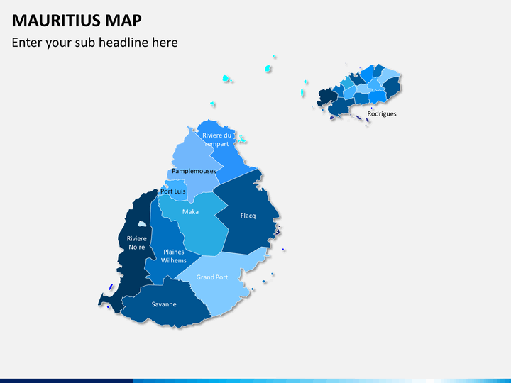
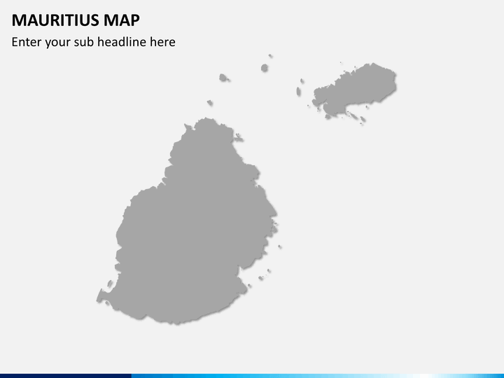
The Mauritius Map PowerPoint template is the collection of fully editable, professionally-designed, and user-friendly maps of this East African country. The high-definition and vector-based graphics are included to ensure high-quality and resolution of maps even on large screens. In addition, the deck containing these maps has been made compatible with all major presentation platforms, such as Microsoft PowerPoint, Apple Keynote, and Google Slides.
The deck can be used by many professionals, including startup owners, business analysts, research analysts, sales and marketing managers, educators, and more. Complex information can be explained in a simplified way by including these maps in your presentations. So, download the PPT immediately!
What’s Inside the Deck
Our professional designers have created these distinctive maps with utmost sincerity.
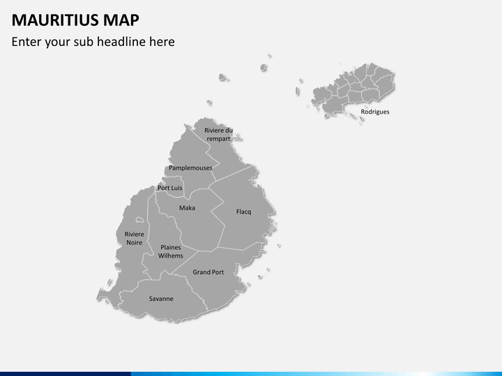
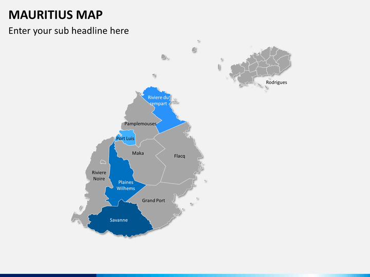
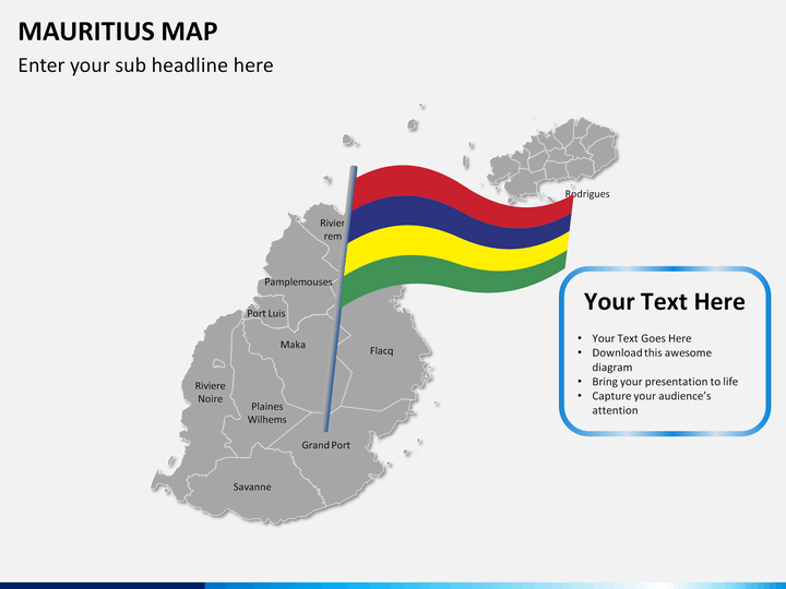
- You will get slides with a blank map, the flag of Mauritius, GPS tracking icons, weather icons, and much more.
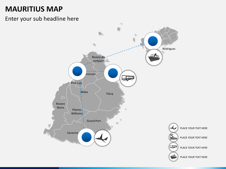
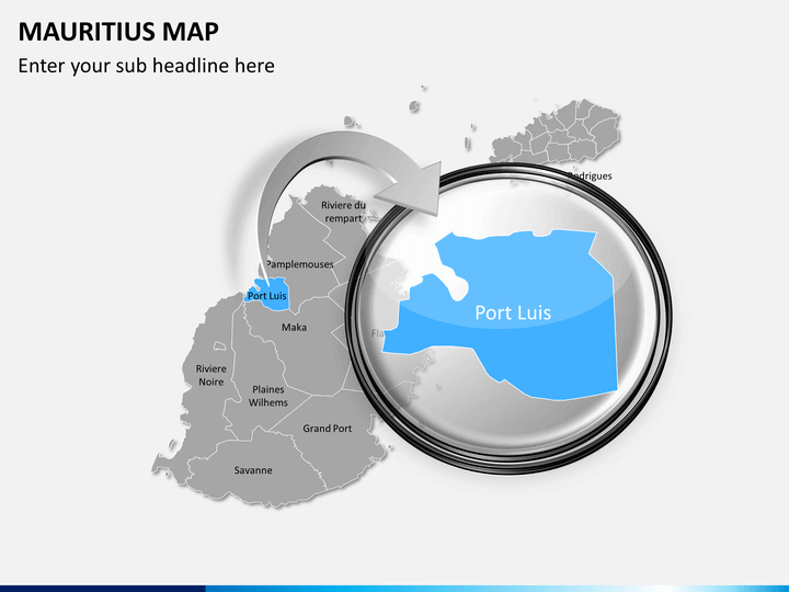
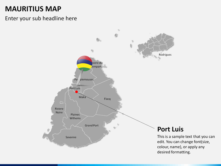
- Some slides depict the magnified images of the significant areas.
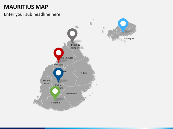
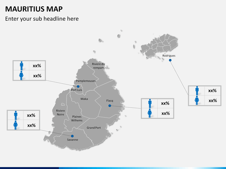
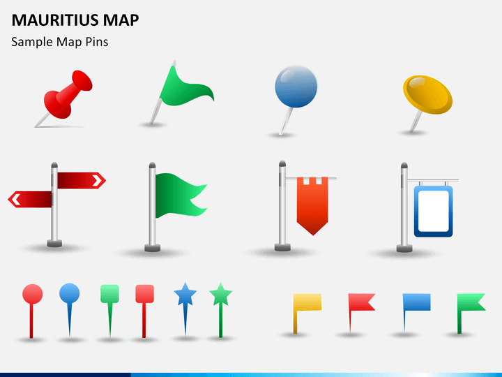
- Map pin icons have been used in one of the maps to highlight some specific regions of the country.
The maps clearly show all the major cities and towns in the country. You can copy and paste any of the maps into the existing or future presentations.
Who can Use it?
There are many usages of maps; a few of them are as follows:
- With these maps, business professionals can share information about revenue generation, branch offices, targeted customers, market share, various marketing opportunities, etc. in different regions of the country.
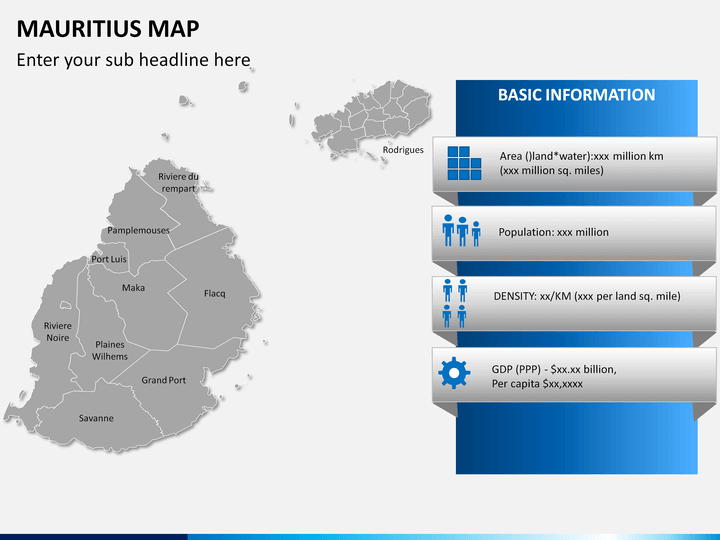
- Educators can use these maps to provide students with detailed visual information about the population, GDP, density, literacy rate, climatic conditions, and so on.
- Travelers can also use it to share their tour plans.
Features that Make the Template More Engaging
- The size of the maps can be easily increased or decreased, as needed.
- You do not require any designing skills to use this set.
- Do not worry about copyright issues as every minute component in the set is designed from scratch.
Download our Mauritius Map PPT instantly!
Write Your Own Review

Related Products


