
Southern Africa Map for PowerPoint and Google Slides
(15 Editable Slides)


Southern Africa Map for PowerPoint and Google Slides

SB787
Available For


Similar Products
- Sale

- Sale
- Sale
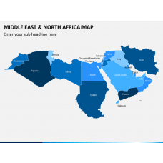
Middle East and North Africa (MENA) Map for PowerPoint and Google Slides
(15 Editable Slides)

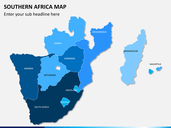
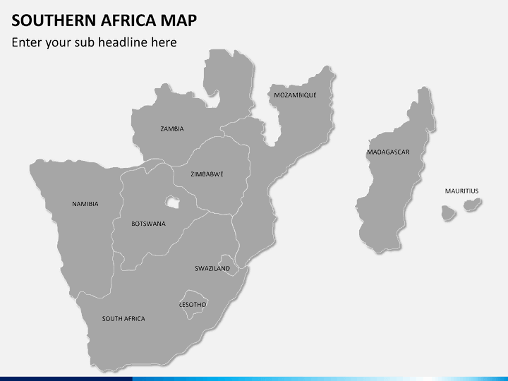
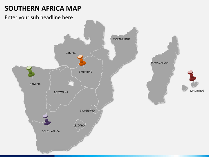
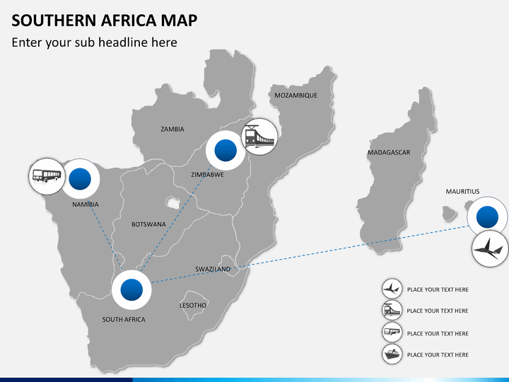
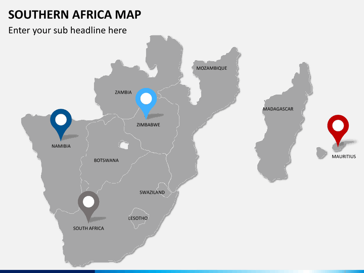
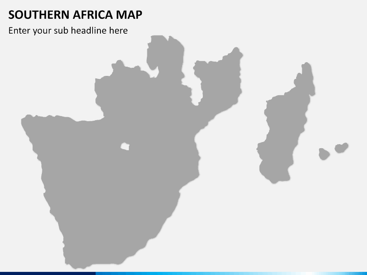
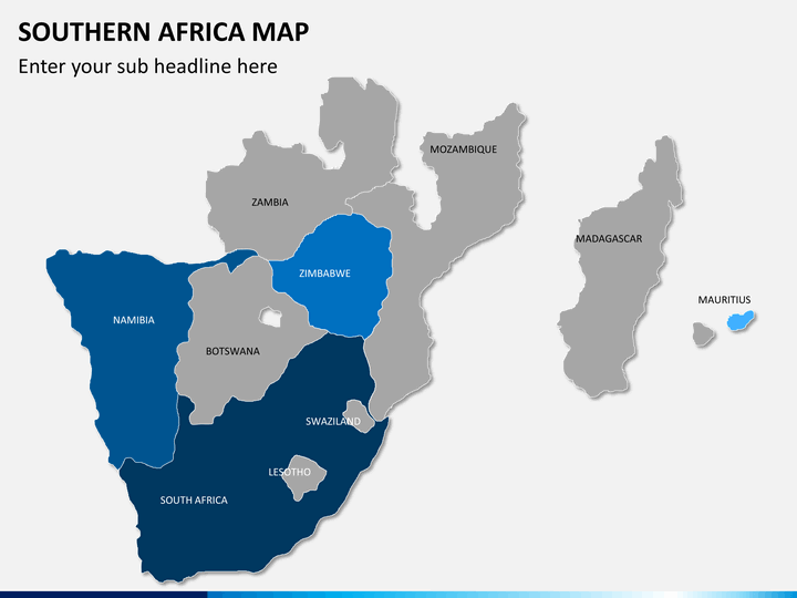
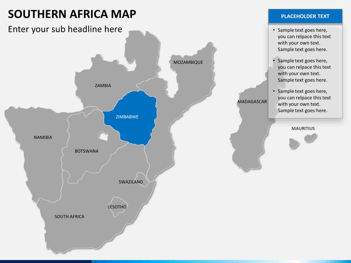
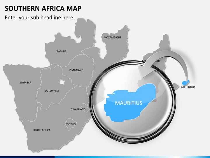
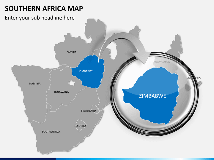
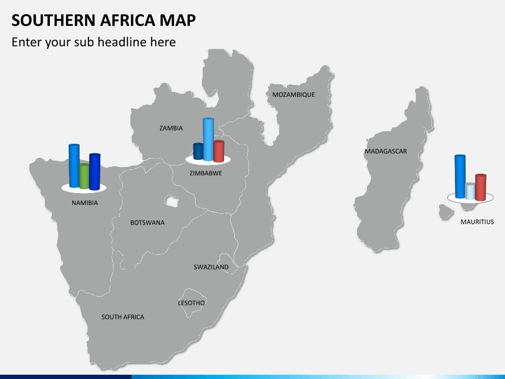
We have introduced the multipurpose Southern Africa Map PPT template to help you beautifully illustrate the geographical and demographic aspects of all countries in Southern Africa. Using creative map layouts, business and market analysts can visualize the market conditions, challenges, and opportunities of each country. Educators can leverage the deck to depict the cultural and natural heritage. Meteorologists can also capitalize on these map diagrams to showcase the specific country’s climatic conditions over a period of time. Travel planners can highlight the must-visit tourist destinations and historical places while throwing lighting on the travel modes available in each country.
Stunning Graphics
The PowerPoint slides feature various geographical map infographics with a magnifying glass and chart graphics in different color combinations. Using them, you can accentuate the content concerning population, literacy rate, economic conditions, transportation facilities, and much more of each country in the Southern region of Africa.
Quality Features
- The users can quickly use and edit the illustrations as per their preferences without seeking external support.
- You can project the visual objects to any screen size with no resolution loss.
- Download the PPT once to own it forever.
Present in style with our simple yet creative set; download it now!
Write Your Own Review

Related Products


