
Uganda Map for PowerPoint and Google Slides
(15 Editable Slides)
Uganda Map for PowerPoint and Google Slides

SB774
Available For


Similar Products
- Sale

- Sale
- Sale


Uganda Map PowerPoint template is a collection of beautifully designed maps to illustrate the geographical aspect and other vital information of Uganda, a country in East-Central Africa. These pre-designed and 100% editable maps are perfect for business presentations to showcase different strategies to expand business in different cities of the country.
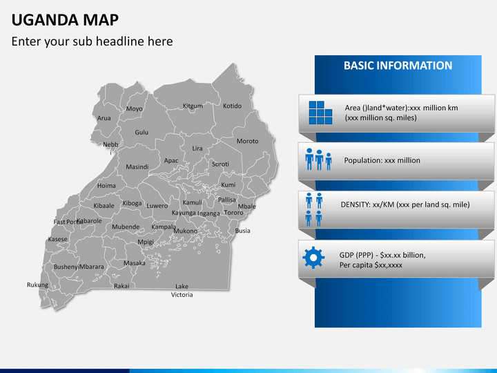
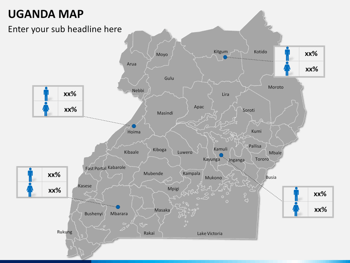
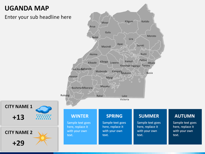
Startup owners, executives, and project managers can use these user-friendly maps to showcase marketing campaigns, business expansion, revenue generation, and market share in various regions of Uganda. This set can also be used by educators to demonstrate detailed information about the country like GDP, population, climatic condition, vegetation, etc. to the students. Meteorologists can use it to explain the current or future climatic conditions of the nation.
So, download our easy to use deck right away and give your slideshow a captivating and stunning look.
What's Inside the Deck?
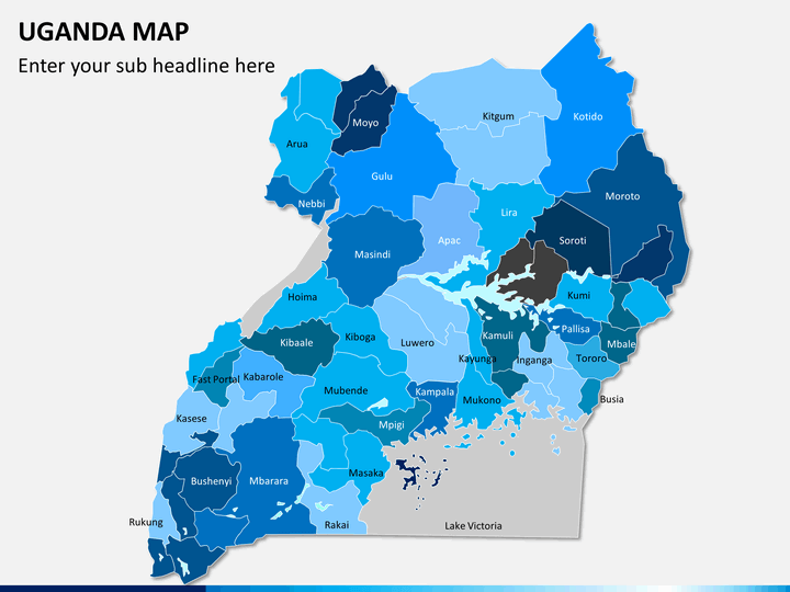
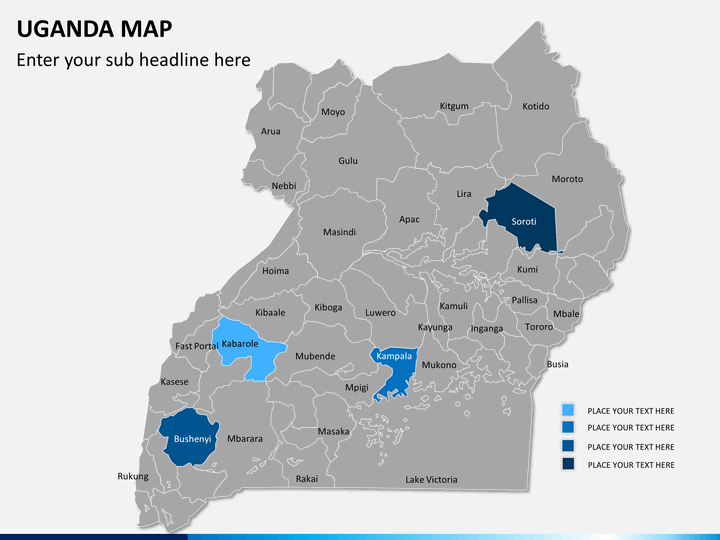
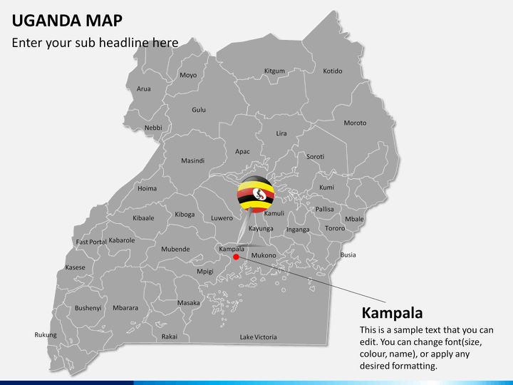
- All the cities are depicted clearly, and the boundaries are marked with precision.
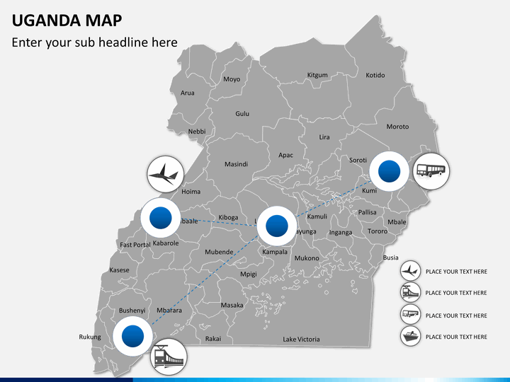
- The distance between various cities and time to reach through different transportation mediums can be demonstrated easily.
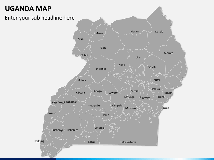
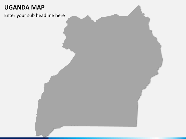
- A blank map has been provided which you can use to showcase your business information.
- The major cities are highlighted in some of the slides.
- You will also find zoomed maps of cities in some slides.
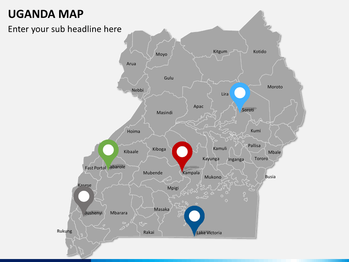
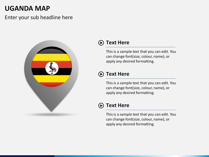
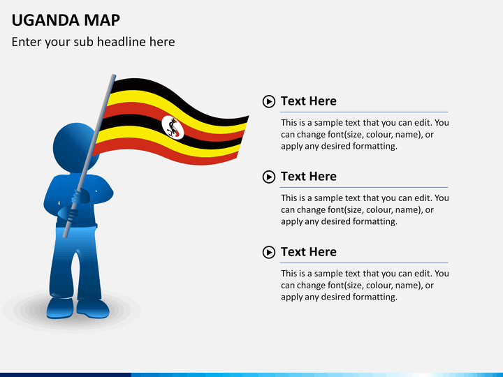
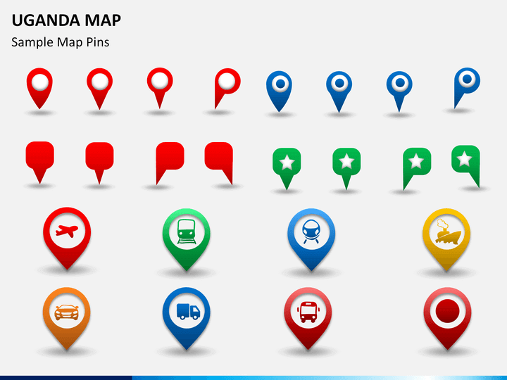
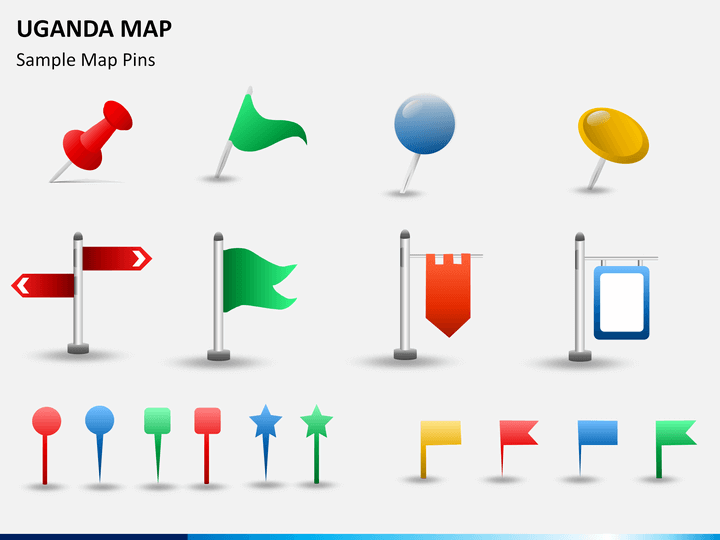
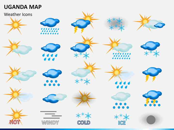
- The deck also features the flag of Uganda, GPS markers, map pins, and weather icons.
Multiple Features in One PPT
To make the template user-friendly, our professional designers have come up with different designs and have also provided text placeholders in the PPT where you can add the content as per your requirements.
- You can easily increase or decrease the maps’ size without worrying about its resolution as it will remain intact.
- You can copy any slide or map from the set and add them to your existing presentations.
- You can also change the color of the maps as per your needs.
- HD and vector-based graphics have been used.
- Every minute component is designed from scratch to avoid copyright issues.
- It is compatible with multiple presentation platforms like Microsoft PowerPoint, Google Slides, and Apple Keynote.
Download the Uganda Map PPT once and use it countless times without re-downloading it!
Write Your Own Review

Related Products


