Alaska Map for PowerPoint and Google Slides
(8 Editable Slides)
Alaska Map for PowerPoint and Google Slides
SB2723
Available For
Similar Products
Download our pristine yet simple Alaska Map PPT template to illustrate a detailed description of Alaska state's geographical, economic, and various other aspects. This versatile deck comprises multipurpose map illustrations, which can be used to make presentations eye-pleasing and insightful. Business professionals can exhibit their market share and customer base in Alaska, along with the expansion plans and future marketing and sales strategies.
Tour operators can represent the tourist destinations and provide information on the possible travel routes. Educators can also capitalize on these high-definition map graphics for showcasing the state’s ethnic, cultural, and natural diversity.
Compelling PowerPoint Slide Designs
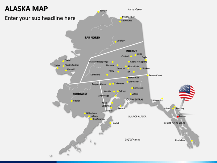
- The physical map of Alaska showcases all cities, districts, sub-districts, and neighboring states of Alaska.
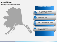
- You can leverage another well-designed Alaska map infographic adjoining a few textual boxes to depict the state's basic information, such as total area, population, density, GDP, etc.
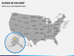
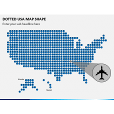
- Using the map of the United States of America, you can point out the exact location of Alaska.
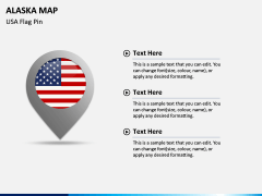
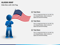
- The infographics of a GPS pin with the USA flag and a man holding the flag of the USA can be used to highlight the history, culture, and other details of the state.
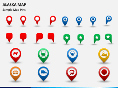
- The icons of GPS pins and map pins with trains, airplanes, trucks, cars, etc., can be used to demonstrate the transportation facilities available in the state.
Unique Features
- All set attributes offer fuss-free editing; hence, the users can make the changes according to their requirements without facing restrictions.
- The map illustrations assure uninterrupted resolution on all screens.
- No user will face copyright issues, as the deck elements are crafted carefully.
Download the PPT now!
Write Your Own Review

