


Similar Products
- Sale

- Sale
- Sale
- Sale
- Sale
-


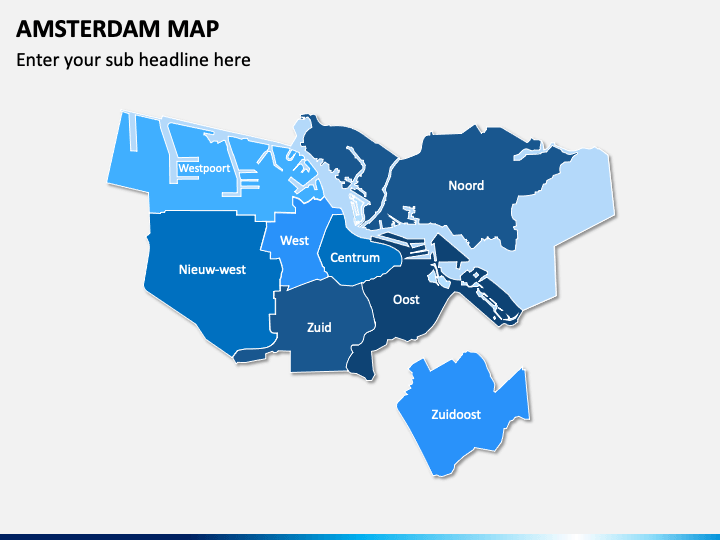
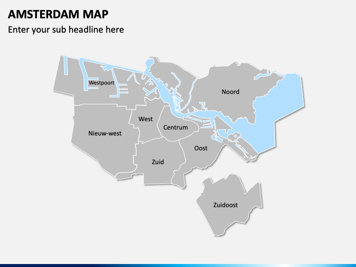
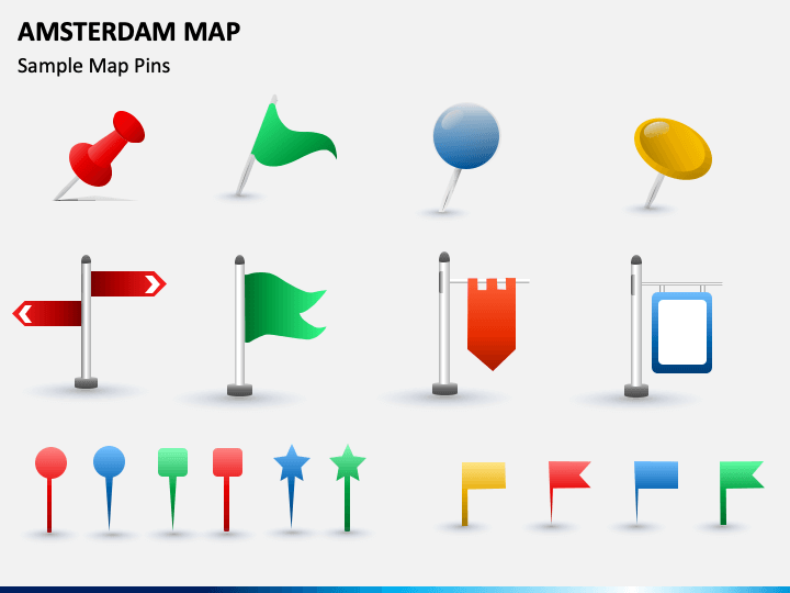
Download our Amsterdam Map template for PowerPoint and Google Slides to give a visual representation of the prime locations and key highlights of the capital of the Netherlands, i.e., Amsterdam. Architects and city planners can leverage this multipurpose deck to visualize the areas of the city where infrastructural development is required. Tour operators can also use these maps to present various tourist destinations, transportation facilities available in the city, and much more.
The colorful geographical map diagrams in the slides represent physical features and all regions of the city. These maps will elevate your presentation’s look, making the information comprehensible for the audience.
Impressive Features
- Effortlessly modify the graphics to suit your needs without any technical expertise or outside assistance.
- All visuals are designed in high definition to ensure an uninterrupted resolution, even when scaled to a widescreen.
- Each attribute in the set is designed after thorough research to avoid copyright violations.
- Download this PPT once to use it for a lifetime.
Download this template today and deliver spellbinding presentations in minutes!
Write Your Own Review

Related Products


