


Similar Products
- Sale

- Sale
-
-
-
- Sale


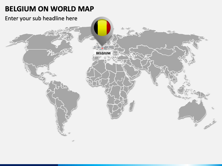
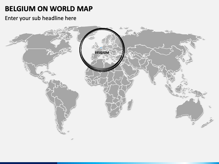
This beautifully-designed Belgium on World Map PPT template can be used to spice up your educational or business presentations and help your viewers quickly learn about Belgium’s natural and cultural diversity. The slides comprising map visuals with a GPS pin and a circle exhibit this European country’s exact position on the world map. You can leverage these graphics to depict the nation’s neighboring countries, the capital city, the largest city, and other major cities.
Economists can capitalize on this set to illustrate the country’s position in the European continent and overall world in terms of land area, population, GDP, and other aspects. Further, market and business analysts can depict the challenges and opportunities concerning business establishment and expansion in Belgium.
Impressive Features
- Customizing the deck elements doesn’t require users to possess technical skills or editing knowledge.
- No user will experience copyright issues, as everything has been crafted after thorough research.
- Every set attribute has been crafted after extensive research, leaving no room for copyright violation issues.
- You can use this PPT an end number of times after downloading it only once without restrictions.
Make this template yours now to spellbind your audience!
Write Your Own Review

Related Products


