


Similar Products
- Sale

- Sale
- Sale
- Sale
- Sale
-


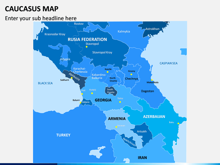
Explore this vital region and educate your audience about it using this Caucasus Map PowerPoint template. Having HD vectors, it will certainly make your job easier with just the perfect visual aids.
About the Caucasus
The term is majorly used to depict the area occupied by the Caucasus range of mountains. Therefore, it includes Armenia, Georgia, Russia, Abkhazia, Artsakh, and Azerbaijan – the countries surrounding the Black Sea and the Caspian Sea. The region is also the home to Mount Elbrus, which is the highest peak in Europe. Apart from its rich and diverse culture, the region is also known for its natural boundary between Eastern Europe and Western Asia.
Major Features
- In this set, you can find various illustrations about the Caucasus region that you can readily use while drafting interesting slideshows.
- Since these maps are based on vectors, you can easily customize them and even alter their overall appearance.
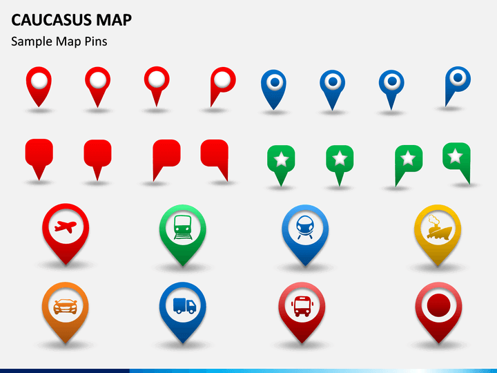
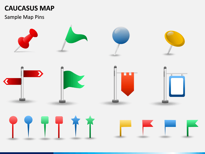
- These illustrations have included the overall geographic and political distribution of the region. There are also various pins and icons that you can further use to customize your documents.
- Since these PPT maps are extremely easy to use, you won't need any prior designing experience or third-party tools to make the most of them.
- You can use these illustrations with a number of applications like MS PowerPoint, Apple Keynote, or Google Slides.
Who can use it?
If you are planning to expand your business to the Caucasus region, then you can certainly use this presentation template in different ways. It can help you pitch your marketing ideas to your clients, expand sales, and do so much more. Furthermore, the set can also be used for educational purposes or to depict your well-researched data in an interesting manner.
How to use it?
Just download this template once and use these vector-based maps on multiple occasions. If you want, you can just clip any map or pin from the set and include it in MS PowerPoint, Apple Keynote, or Google Slides. Also, the native interface of these applications will let you edit these slides pretty easily. You can add your content or alter the overall look and feel of these slides without any trouble.
Write Your Own Review

Related Products


