

Delaware Map for PowerPoint and Google Slides
Delaware Map for PowerPoint and Google Slides
(9 Editable Slides)


(9 Editable Slides)
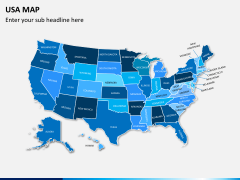
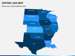
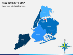
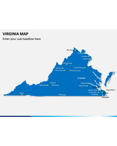
Related Presentation Templates

Are you looking for ways to draft an interesting slideshow on the state of Delaware? Try this entirely editable and professionally drafted Delaware Map presentation to meet your professional needs in no time.
About Delaware
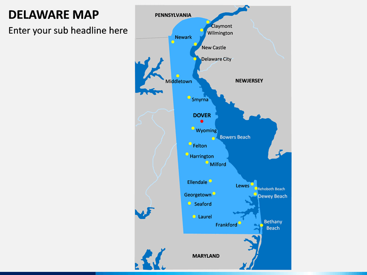
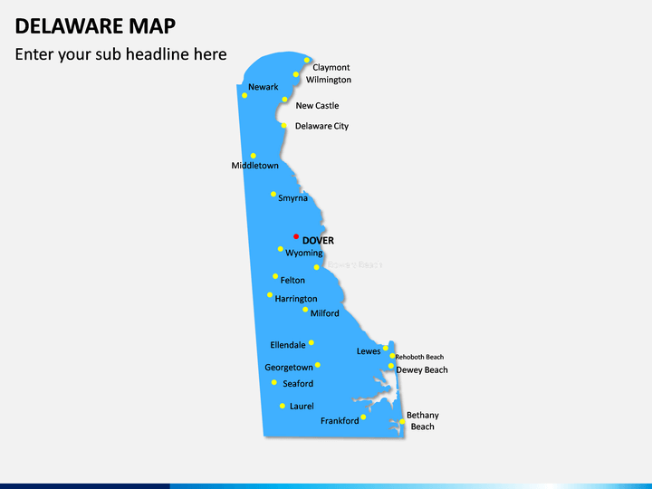
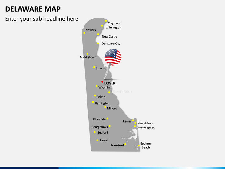
Also known as "The First State" (since it was the first state in the US to ratify the Constitution), Delaware holds a vital position in the Mid-Atlantic region. Besides the Atlantic Coast, it is surrounded by New Jersey, Maryland, and Pennsylvania. It is the second smallest and the sixth least populated state in the country that is divided into three major counties. While Dover is its capital, Wilmington is the largest city in Delaware. The state is also known for its role in the American Revolution and Civil Rights.
Major Features
- This is a professionally drafted set of various Delaware maps PPT that can be used by all kinds of professionals.
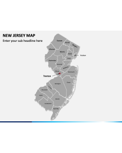
- The set includes maps to depict details about the political and geographical distribution of the state, besides other major cities and towns.
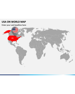
- There are also maps to depict the location of the state in the country with various templates that can help you present any detail regarding the region.
- All these slides are entirely editable, and you can easily customize them with native tools like MS PowerPoint, Apple Keynote, and Google Slides.
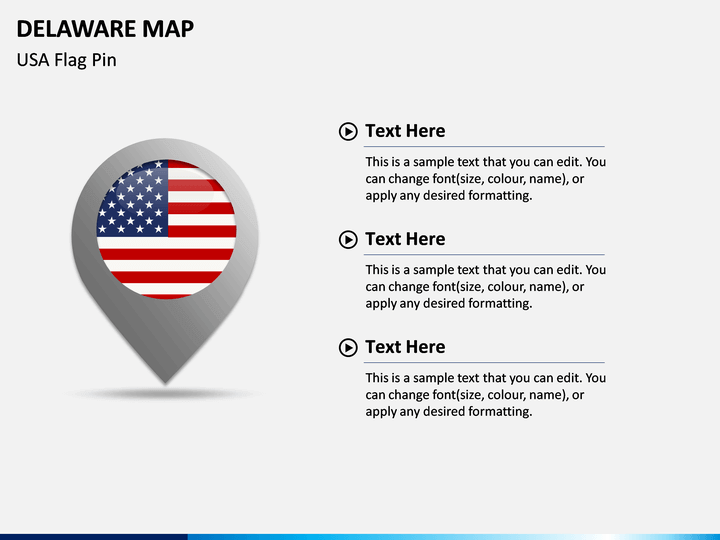
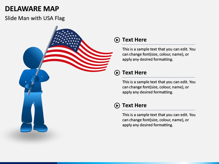
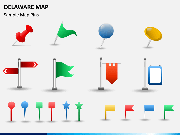
- The template also features various add-on vectors like pins, maps, flags, etc. that you can use to customize your slideshows.
Who can use it?
Any individual who would like to draft an informative and visually appealing slideshow related to Delaware can use this template. It can help you educate your audience about your business model, marketing strategy, expansion plans, and so on. If you have collected some data about the state, then these maps would help you present it in an aesthetically pleasing way.
How to use it?
Just download this Delaware Map PowerPoint template and pick any slide of your choice. Besides PowerPoint, you can include these vectors in Google Slides and Apple Keynote as well. Later, you can add your content, edit their appearance, and make the needed changes to come up with a flawless slideshow in minutes!