


Similar Products
- Sale

- Sale
-


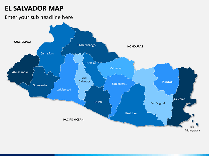
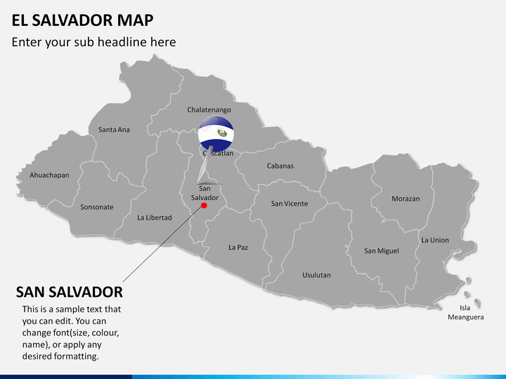
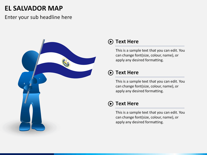
Also known as the Republic of El Salvador, it is the most densely populated and the smallest nation in Central America. Associated with coffee and the indigo plant, it is gradually developing to become a prosperous nation. With over 6.38 million citizens, the nation has a rich heritage that is associated with Mestizos and the 16th century Spanish Empire. Various Mesoamerican cultures like Lenca and Maya has also shaped the present state of this diverse nation. With San Salvador as its capital, the country is also known for its wildlife, beaches, monuments, and volcanoes.
If you wish to draft an informative presentation on this Central American nation, then simply take the assistance of this readily available El Salvador Map PowerPoint Template. We have come up with this comprehensive set of PPT maps to help you present your information in a visually appealing manner. The template can readily be used for educational purposes as well. Students, instructors, and educators can use this set to draft a knowledgeable slideshow. Additionally, individuals belonging to almost every domain can take the assistance of this set as well. If you wish to depict any kind of information related to El Salvador, then this would be an essential set for you.
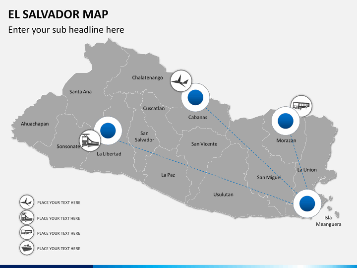
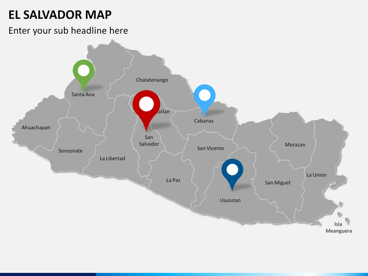
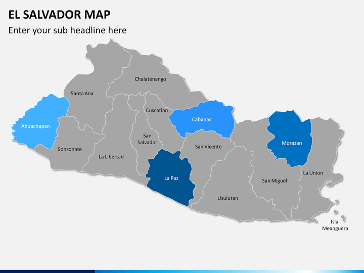
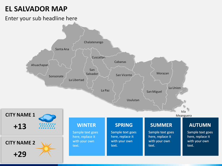
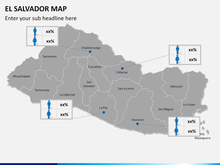
The template consists of a wide range of El Salvador maps that will make your job a whole lot easier. Segregated into 14 departments, the nation is further subdivided into more than 200 municipalities. The set consists of different kinds of maps that can help you focus on every administrative region without much trouble. You can readily present your data related to the country's demographics, geography, climate, and more. Also, you can simply zoom out a region and focus on it as well. From presenting crucial information regarding the country's transportation to its business centers, almost every kind of data can be depicted by these maps.
Download this editable template right away and use it time after time to meet your requirements. Save your time and efforts while drafting an informative slideshow using these illustrations. You can edit these maps with a single click and add your own content on the go. Customize these illustrations in no time and be sure to draft a winning presentation.
Write Your Own Review

Related Products


