Similar Products
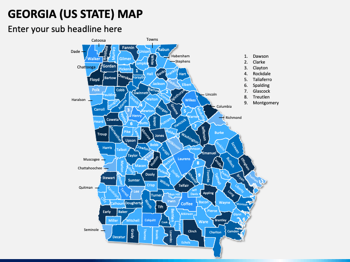
Get your hands on our Georgia (US State) Map PowerPoint and Google Slides template to showcase the geography of the state, such as its location, size, shape, and terrain. These map infographics can be beneficial for business professionals to illustrate their company’s presence in Georgia, legal and ethical requirements to meet for setting up a business in Georgia, and much more. Tour guides can also use high-quality map visuals to display popular tourist attractions in the state. Moreover, you can depict the state’s political boundaries.
A Sneak Peek at Slides’ Design
- The geographical maps present all major cities and towns of Georgia.
- The map of the United States illustrates the exact location of Georgia and its neighboring states.
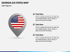
- You can leverage the USA flag pin illustration adjoining editable text placeholders to showcase the state’s ethical and natural diversity.
- An infographic of a slide man holding the USA flag can be used to visually illustrate various statistics related to the state, such as population, the state’s contribution to the country’s GDP, literacy rate, etc.
- The icons of map and GPS pins with the symbols of an airplane, a car, a truck, a train, etc., can be used to highlight the transportation facilities available in the state.
Impressive Features
- You can make the changes without prior editing experience or external assistance.
- The high-quality graphics look the same, even when projected on a bigger screen.
- You can confidently use the set attributes without worrying about copyright issues, as everything has been designed after thorough research.
- Get lifetime access to the PPT after downloading it only once.
Make your presentations informative and engaging by incorporating these picture-perfect map illustrations; download the deck now!
Write Your Own Review


