
Madagascar Map for PowerPoint and Google Slides
(7 Editable Slides)
Madagascar Map for PowerPoint and Google Slides

SB2756
Available For


Similar Products
- Sale

- Sale
- Sale
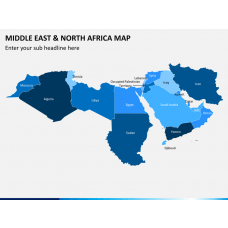
Middle East and North Africa (MENA) Map for PowerPoint and Google Slides
(15 Editable Slides)
-
-
-


Maps are essential for business professionals, educators, researchers, travel planners, and others to highlight the details about a specific place/area/destination. So, if you’re planning to create a presentation on Madagascar, the second-largest island country, download our Madagascar Map PPT template. Using it, you can beautifully exhibit key attractions and other details about the country. Our adroit designers have adorned this deck with high-quality maps and appealing icons through which you can quickly grab your audience’s attention.
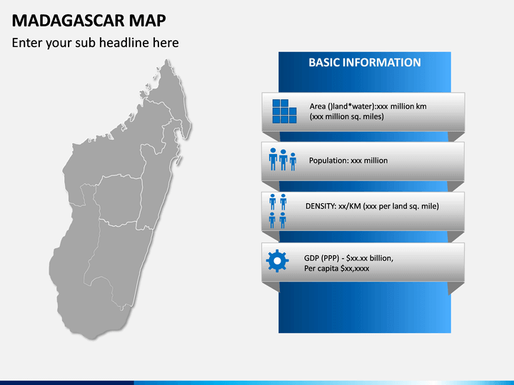
Business professionals can use this deck to present information like revenue generation, market share, office location, etc. Educators can use the deck to teach their students about the literacy rate, sex ratio, climatic conditions, and other aspects of the country in a visually appealing manner.
Key Attributes
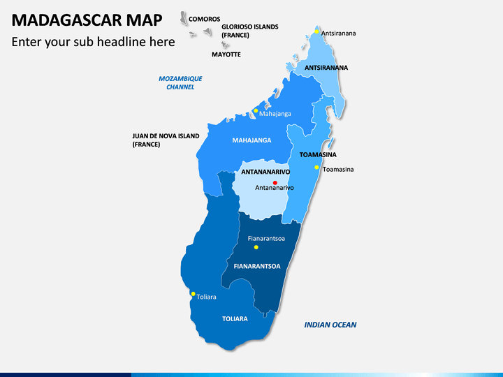
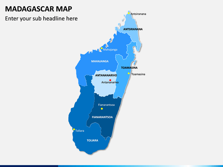
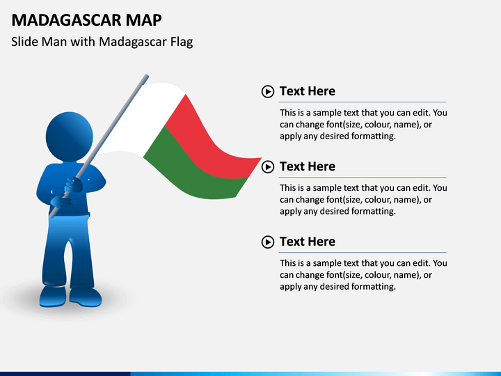
- One of the slides depicts the map of Madagascar, highlighting the capital and other cities.
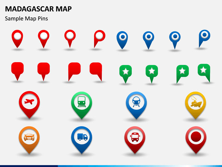
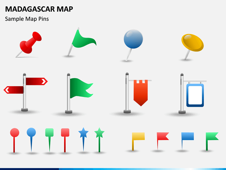
- The other slide comes with the icons of GPS trackers, map pins, and flags that can be used to highlight a particular area on the map.
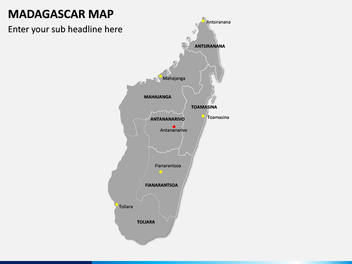
- You will also find a blank map depicting the boundaries that can be used to portray the stats and information like GDP, population, etc. of the specific cities.
Salient Features
- Easy-to-edit
- Entirely customizable
- Reusable for a lifetime
- Text placeholders allow you to put relevant content.
- You can use these maps in your existing and future presentations.
So, download this set now to present the details of Madagascar to the audience impactfully!
Write Your Own Review

Related Products


