


Similar Products
- Sale

- Sale
- Sale
- Sale
- Sale
- Sale


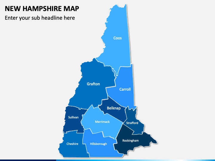
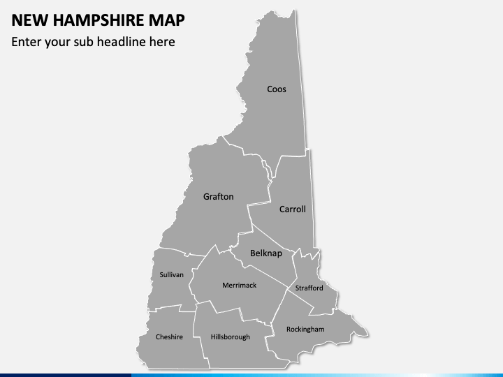
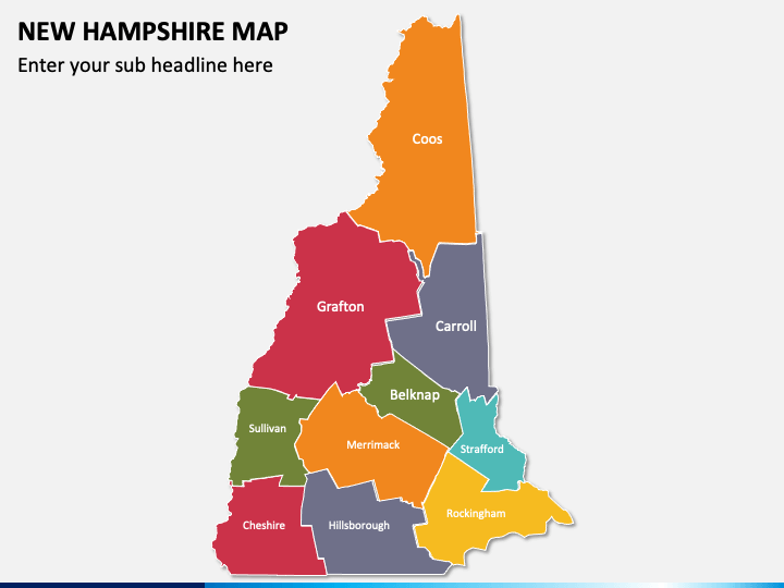
Download our 100% editable New Hampshire Map PPT template to visually illustrate the demographics and geographic details of the New Hampshire state. Sales professionals can use high-quality map infographics to represent the sales reports by region or sales territories. Using this compelling deck, startup owners and business development managers can highlight the locations of their company’s headquarters and branch offices in or around the state.
This compelling set of striking map illustrations is the best pick to depict the state’s ethnic, cultural, and natural diversity. By incorporating these quality maps, you can make your PowerPoint presentations stand out.
Key Attributes
- Using the geographical maps of New Hampshire, you can depict the state’s major cities, regions, and districts.
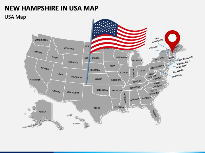
- The exact position of the state and its neighboring and border-sharing states is highlighted via the USA map with the flag and a GPS pin infographic.
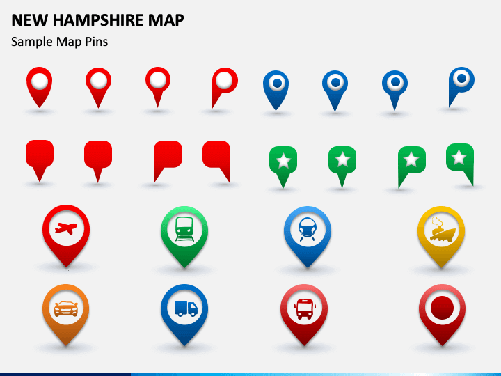
- Using the icons of maps and GPS pins with symbols of trains, buses, cars, ships, etc., you can showcase the transportation facilities available in the state.
Best-in-Class Features
- No need for prior editing experience or external aid to modify the deck elements.
- The high-quality visuals offer uninterrupted resolution on all screen dimensions.
- Each set attribute has been crafted after extensive research, leaving no room for copyright issues.
So, hold your search for compelling slides here to win over the audience!
Write Your Own Review

Related Products


