
North Carolina Map for PowerPoint and Google Slides
(9 Editable Slides)
North Carolina Map for PowerPoint and Google Slides

SB2762
Available For


Similar Products
- Sale

- Sale
- Sale
- Sale
- Sale
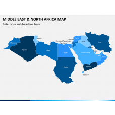
Middle East and North Africa (MENA) Map for PowerPoint and Google Slides
(15 Editable Slides)
- Sale


Using a regional geographical map while drafting a presentation to highlight important features or areas in a specific state or city can help the viewers to grasp the information more easily. Here, we offer you a deck of slides containing a variety of map layouts for North Carolina in stunning color combinations. You can download this North Carolina Map PPT template, which is professionally designed with high-resolution to present the geographical details of the region. The map is designed using PowerPoint objects and other designing tools; hence you can easily represent it on large screens without worrying about the optical quality; it will remain the same. Click on the download button and get it instantly.
Variety of Maps Included
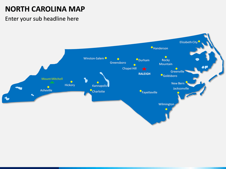
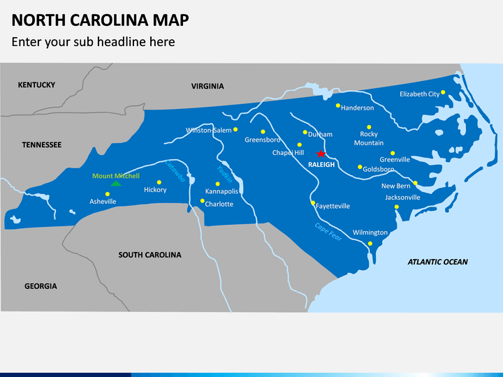
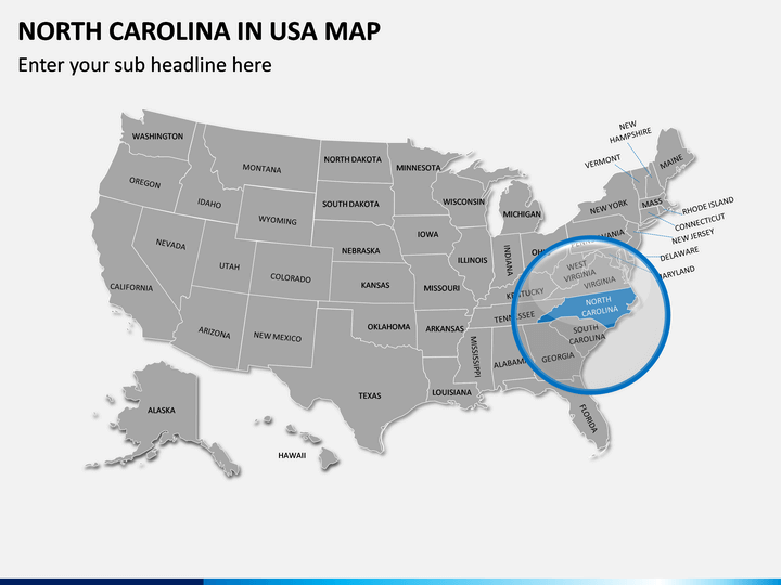
To match everyone’s needs, we have provided different kinds of designs. In one slide, there is a state map highlighted with its capital and other major cities. In another one, we have shown its location on the US map along with other states. Raleigh, Charlotte, Greensboro, Winston-Salem, and Fayetteville, wherein all the major towns are also labeled. The neighboring states, rivers, and sea-route are also clearly shown in the designs. In short, you can explain every minute detail to your audience.
Demonstration will be Easy
No matter whether you’re a businessman, an employee, a student, or an educator, you can use this North Carolina Map PowerPoint template in multiple ways, such as:
- Showing the areas for sales, business opportunities, or travel.
- Explaining the geographical region of North Carolina and political boundaries.
- Discussing different kinds of climatic conditions in any particular area.
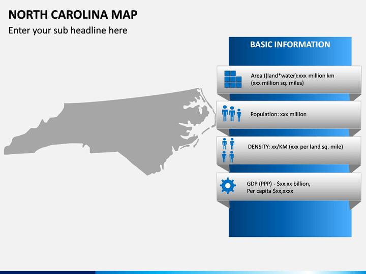
- Presenting any kind of information of a region, such as literacy rate, geographical area, employment rate, crime rate, population, etc.
- Preparing sales reports and showcasing the number of branches/employees, growth, and depletion rate.
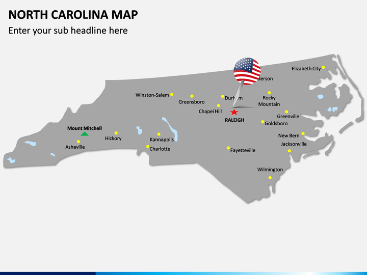
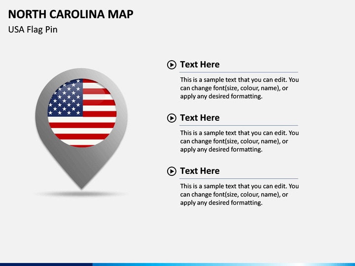
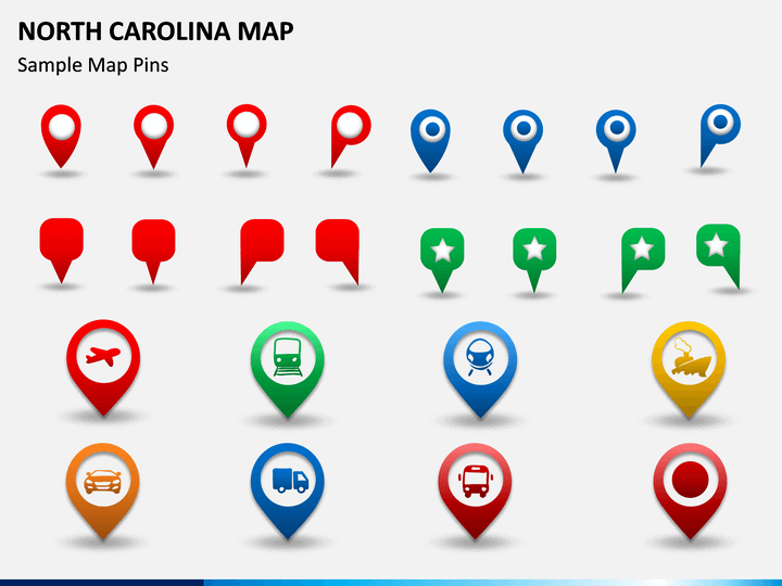
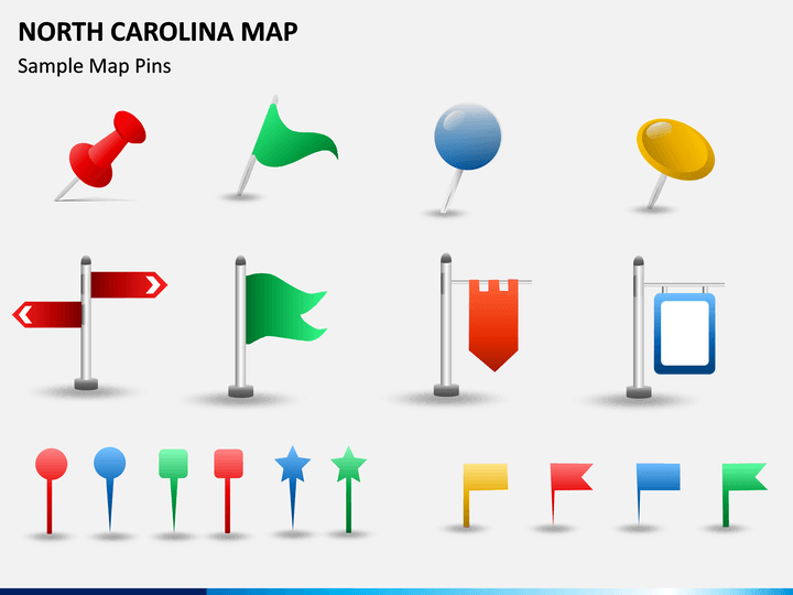
Pins and Flags for Convenience
Further, this presentation template has flags and pins at the end. You can use it to locate or highlight certain regions or points to discuss related information with your audience easily. You can also include additional text and graphics, as this deck is completely editable. From changing the color of graphics to font type, size, and format, everything is so simple; you won't need any professional guidance or experience.
A Visual Aid for Viewers
This set includes multiple slides to provide you useful designs. They are designed so precisely that you could easily give a clear picture to your audience. The shapes, borders, and regions are mapped very accurately that there would be no chance for mistake. To show different areas, we have used different color combinations. Rivers, mountains, and other land terrains are located clearly. Everything is labeled properly to let you easily explain your points to the viewers so that you can deliver a winning and compelling slideshow.
Write Your Own Review

Related Products


