


Similar Products
- Sale

- Sale
- Sale
- Sale
- Sale
- Sale


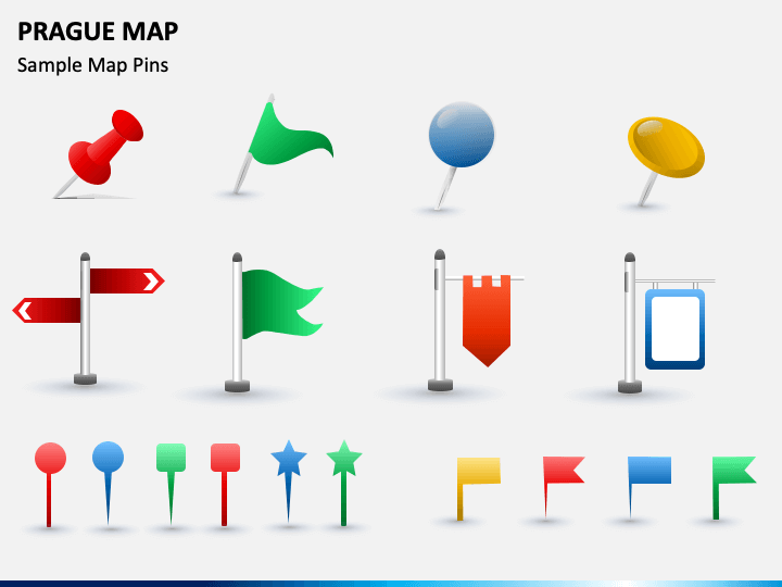
Download our Prague Map template to visually portray the geography and history of the capital and largest city of the Czech Republic. Tour operators can leverage these maps to showcase the famous places of the city and transportation options. Business professionals can illustrate the locations of their offices and retail stores across Prague. Educators can also capitalize on this graphic-rich set to portray the geographical boundaries and demographics, such as population, literacy rate, GDP, and much more of the city. It is available for PowerPoint and Google Slides.
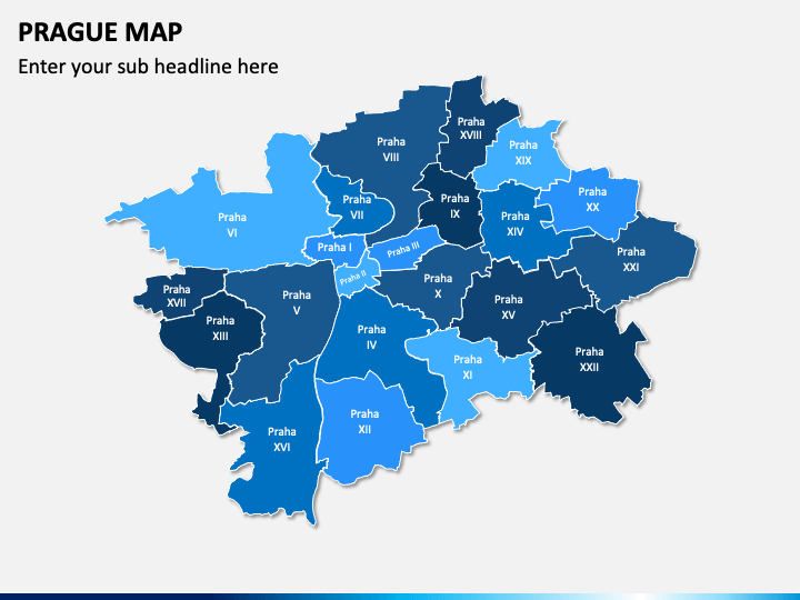
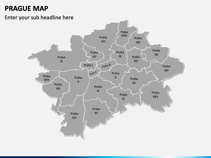
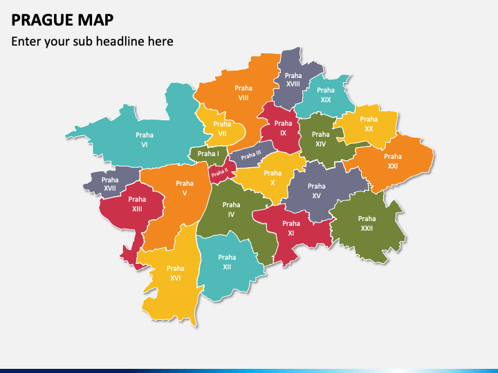
The colorful geographical map diagrams of Prague in the slides present regions and towns of the city. You can use them in your presentations to draw the audience’s attention throughout the slideshow.
Best-in-Class Features
- The entire set has been designed meticulously, ensuring no user encounters copyright issues.
- Our deck elements are 100% customizable; the users can conveniently make them in line with their presentation’s tone.
- All illustrations retain the high resolution, even when projected on a larger screen.
- Our customer support team is available 24/7 to provide prompt assistance.
Elevate your presentations by downloading this PPT; download it now!
Write Your Own Review

Related Products


