


Similar Products
- Sale

- Sale
- Sale
- Sale
- Sale
- Sale


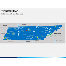


Come up with visually pleasing and informative PowerPoint presentations related to South Carolina using these entirely editable maps. Our professionals have drafted these maps after extensive research so that you can readily use these illustrations to meet your requirements.
About South Carolina
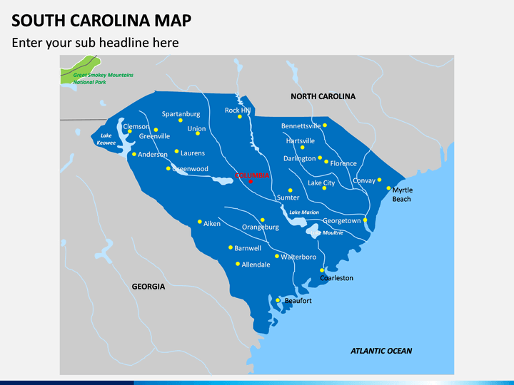
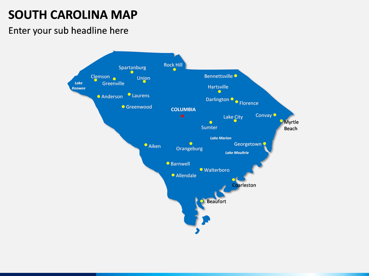
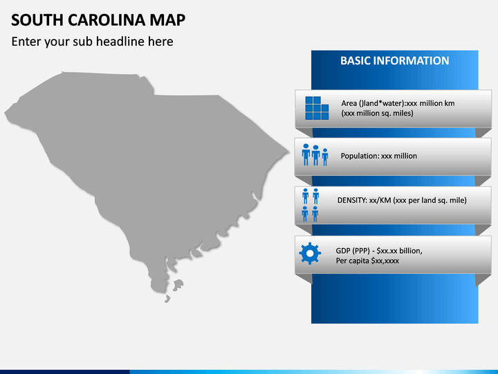
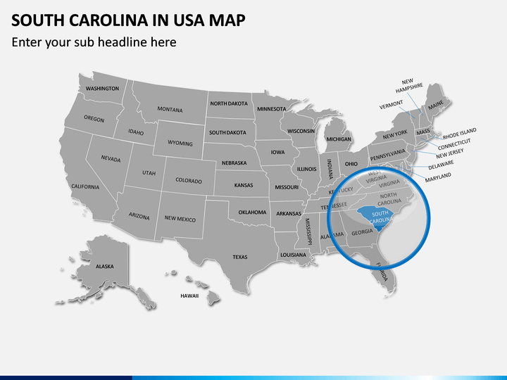
Located in the southeastern region of the United States, South Carolina is the 40th largest state in the country. It is bordered by the Atlantic Ocean on one side and states like Georgia and North Caroline on the other. It is the 23rd most populous state with a population of over 5 million people residing in its 46 counties. Presently, the state has a GDP of over $180 billion and is known for its heritage, culture, natural landscape, education, and manufacturing industry.
Major Features
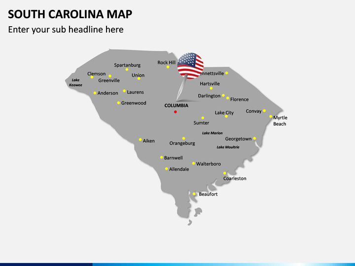
- In this set, you can find different kinds of maps related to this southeastern US state that you can freely use without any copyright issues.
- There are all kinds of political and geographical maps, depicting all the major cities and landmarks of the state that you can further edit.
- Once you have downloaded the PPT, you can use these maps for a lifetime in any of your future presentations.
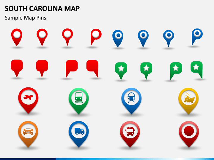
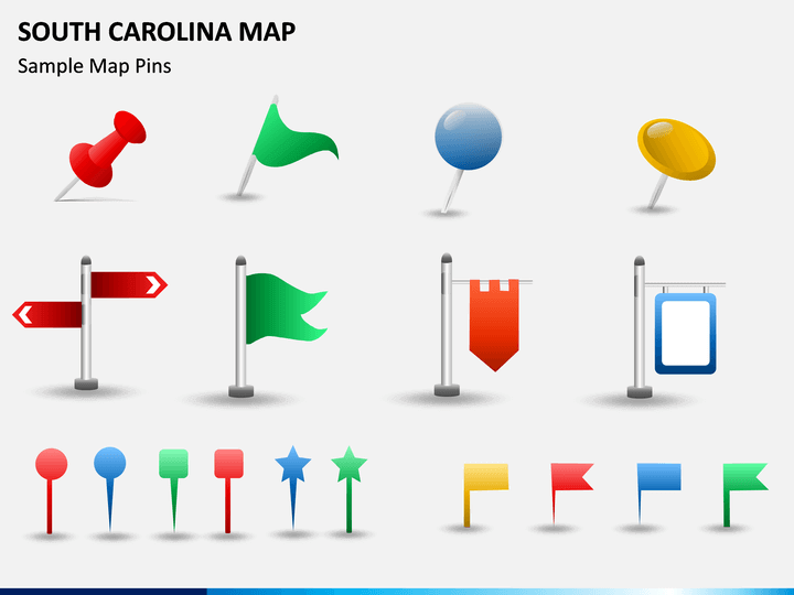
- Besides maps, you can also find tons of vectors, pins, flags, etc. that will help you draft unique and visually appealing slides.
- You can further edit these maps, zoom any region, change its appearance, add your content, and do so much more without any designing experience.
Who can Use it?
Ideally, if you wish to draft informative and aesthetically pleasing slides related to this US state, then these South Carolina PPT Slides would come handy. You can use them to educate your audience about the geographical or political division of the state. It can also be used to depict any demographic information, prepare marketing pitches, local sales strategies, and so much more.
How to Use it?
You can edit these PowerPoint maps without any trouble by using the native features of tools like MS PowerPoint, Apple Keynote, or Google Slides. Once you have included these maps in your presentations, you can add your content and further change the look and feel of the slides. In this way, you can customize your slideshows by saving your time and effort.
Write Your Own Review

Related Products


