South Dakota Map for PowerPoint and Google Slides
(8 Editable Slides)
South Dakota Map for PowerPoint and Google Slides
Available For
The editable South Dakota Map PPT template is a set of slides full of unique designs of the state made by our professional designers. This state is located in the Mid-West region of the US and sparsely populated. To show anything related to this region, whether geographically, politically, or business-wise, this deck would easily serve the purpose. You will be happy to know that it comes with lifetime validity, just download it once. Click on the button and get it today!
Versatile Applications
We have designed this PowerPoint presentation template to serve easily for versatile applications. You can easily employ the designs in many ways, such as:
- Explaining its social, economic, and political concepts.
- Showcasing your country’s political agenda on international forums.
- If you’re working in an NGO, then you can show the areas affected in the disasters.
- Discussing its area, population, density, sex ratio, employment, etc.
- Being the educator, you can teach your students about the geographical terrains, all the climates, types of soil, agriculture, rivers, lakes, and other geographical points.
- Managers can prepare a report to show their seniors or investors new market opportunities, sales, number of branches, total staff, challenges, etc.
Useful for All
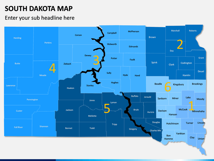
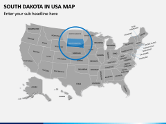
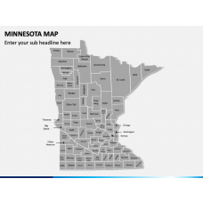
The designers have used PowerPoint objects and other useful designing tools to make this template helpful for all. We have taken care of everyone’s needs while making it; therefore, you will get multiple designs after downloading it. There is a map of South Dakota with all the cities mentioned in it. There is an individual slide with labeled layouts depicting all the states of the US. It is designed in blue and gray colors, which you can customize later. One slide shows where the state is located on the US map with all its neighboring states. There is a plain layout of the state which the presenter may use to highlight any particular area by filling the specific region with color. All the geographical details and locations are displayed precisely to let the audience easily grasp the knowledge.
Customize in a Few Minutes
We have provided enough space for text and picture insertion. You can add as well as change the font type, size, color, and format. The graphics incorporated are HD and vector-based, so you can align and resize them to match the screen size without worrying about their resolution. With the map pins available, you can demonstrate your viewers any particular area and explain the details regarding it. Download this presentation template today and mark an impression on the audience.

