


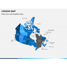
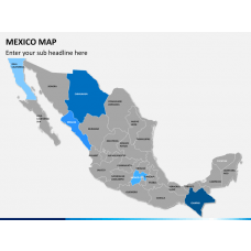
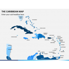
Similar Products
- Sale

- Sale
- Sale
- Sale
- Sale
- Sale


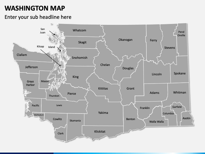
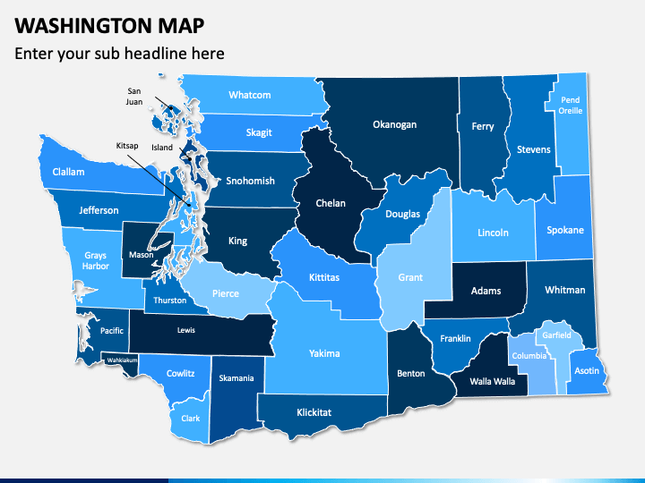
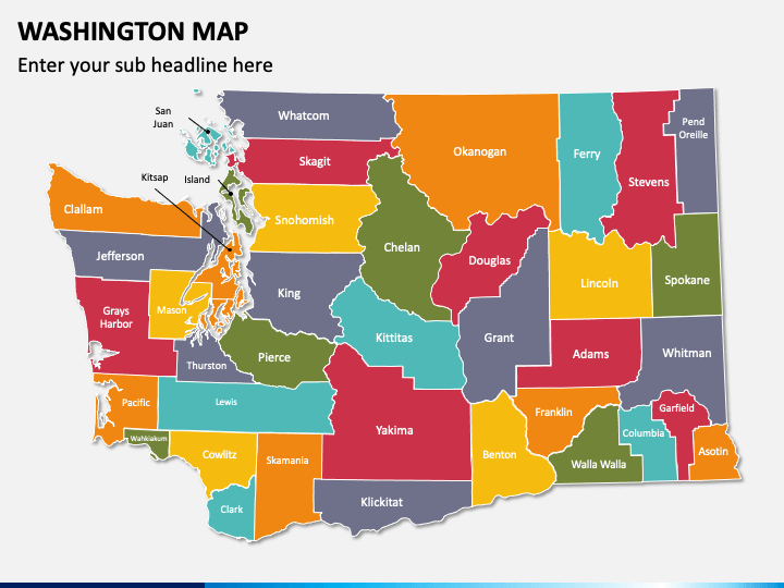
Our Washington Map PPT template is the best pick to illustrate the geographical, demographic, climatic, and other information through beautifully designed maps of the American state, Washington. These well-designed maps will dazzle your audience and wow them. They have been crafted with precision to get your point across and add value to your presentation. You can easily customize these layouts to suit your needs and create a professional-looking slideshow. So, download these PowerPoint maps now and infuse life into your boring presentation!
Who can Use this Deck?
We offer multipurpose map layouts to help you create slideshows for business and educational purposes without any hassle.
- C-Suite executives and business leaders can display investment and expansion opportunities, locations for setting up new branches or business units, possibilities to set up sales points, market share in the region, etc.
- Marketers can illustrate sales territories, growth in revenue and customers, areas with a high potential for sales, and marketing campaigns.
- Statisticians and researchers can use these maps to represent statistical data and demographics of major towns and cities, research related to the economy, etc.
- Travelers can share their travel plans and itineraries, popular tourist destinations, means of transportation, popular aspects of the place, and much more.
- Educators can download these maps to showcase demographics of the state, climatic conditions, insights about various landforms, information on the history and economy of the region.
Significant Highlights of the Template
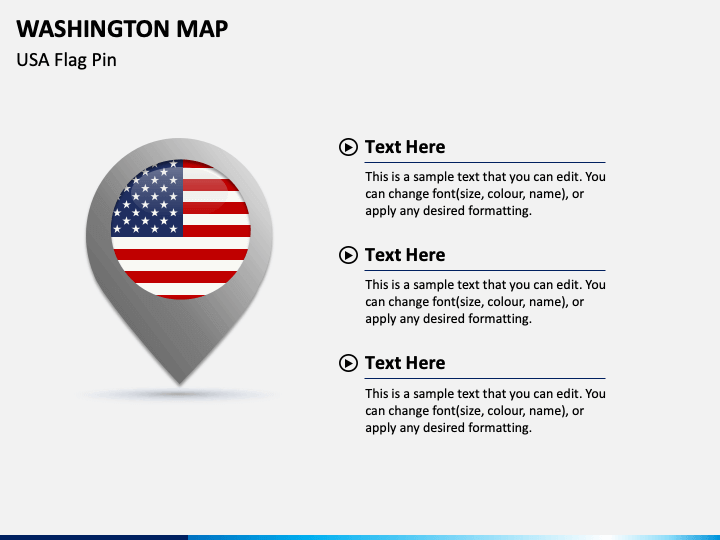
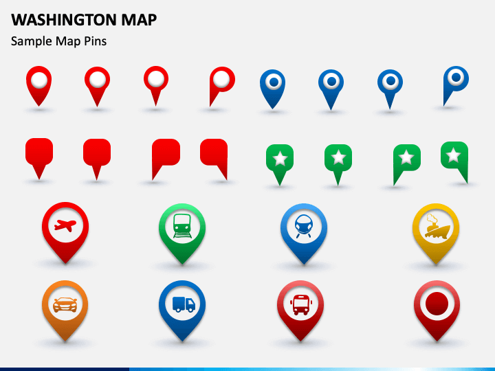
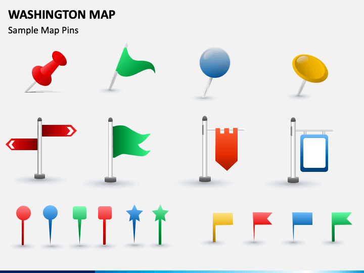
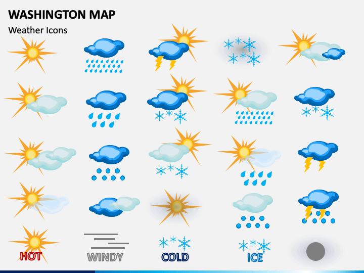
- The availability of objects like GPS markers, flags, weather icons, and map pins in this set make it convenient to represent a particular region and depict information related to economy, weather, landforms, and specific highlights about the area.
- One of the slides in the deck presents the exact location of Washington in the USA and its neighboring states.
- Washington’s political map can be used to showcase and discuss various issues in politics, tourism, economy, trade and commerce, and society.
- HD vectors and high-definition graphics make these maps eye-pleasing and more enriching.
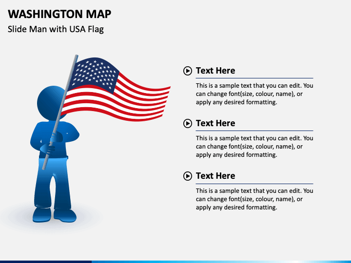
- One of the slides depicts a man with the flag of the United States of America, which will help you illustrate your business presence in the USA.
- You can add the content in the text placeholders incorporated in these layouts without any hassle.
- The resolution and quality of these maps will not get hampered even if you present them on large screens.
This PPT is the best pick to present extensive information in an understandable manner to your viewers. So, download it now!
Write Your Own Review

Related Products


