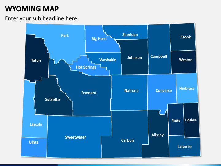
With our innovatively designed Wyoming Map PPT template, you can illustrate a detailed description of the geographical, economic, and other features of Wyoming state of the United States of America. Market analysts can use these map infographics to communicate their ideas and thoughts concerning the business expansion in Wyoming. Leveraging high-quality graphics, sales professionals can showcase the proportion of revenue generation from different locations and the tactics for boosting sales, customer base, and overall business performance. Logistics managers can portray the safest and fastest transportation route in the state. Meteorologists can display the climatic conditions of the state over a period.
PowerPoint Slides with Aesthetic Graphics
- Using the physical maps of Wyoming, you can demonstrate the capital city, other cities, and towns of the state.
- You can use the USA map infographic with the flag and GPS pin to depict the location of the state on the map and its neighboring states.
- The icons of GPS and map pins with symbols of various transportation modes can be used to showcase the connectivity of the state with other big cities, states, and countries either via road, air, or water.
Enthralling Features
- The users don’t require additional editing experience or specialized skills to modify the deck as per their requirements.
- The quality of the illustrations won’t hamper on any screen size.
- The users won’t confront copyright issues because the entire set is the result of extensive research.
Download the PPT now to deliver impressive presentations!


