

Central USA Map for PowerPoint and Google Slides
Central USA Map for PowerPoint and Google Slides
(15 Editable Slides)


(15 Editable Slides)
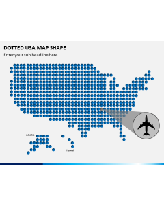
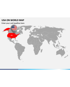
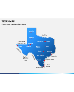
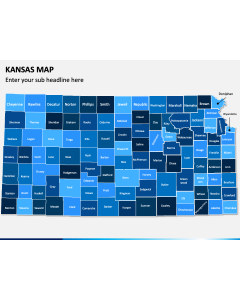
Related Presentation Templates
Your PowerPoint presentation may require you to include Central USA Map, especially, when you need to demonstrate certain geographical regions. But no kidding, creating them as slides isn't a child's play at all. Being a real exigent task you need to handle them most painstakingly. Well, with fully editable pre-designed template completely scalable in your visual aids, you get to create best illustrations without any burden.
It can be a history project or geographical survey of Central United States. Or may be your business sees expansion across the states of Illinois, Kansas, and Texas. Perhaps you are opening your warehouses or starting up new production plants across the region. In any of the cases, your message will get crisper and clearer with the help of proper maps.
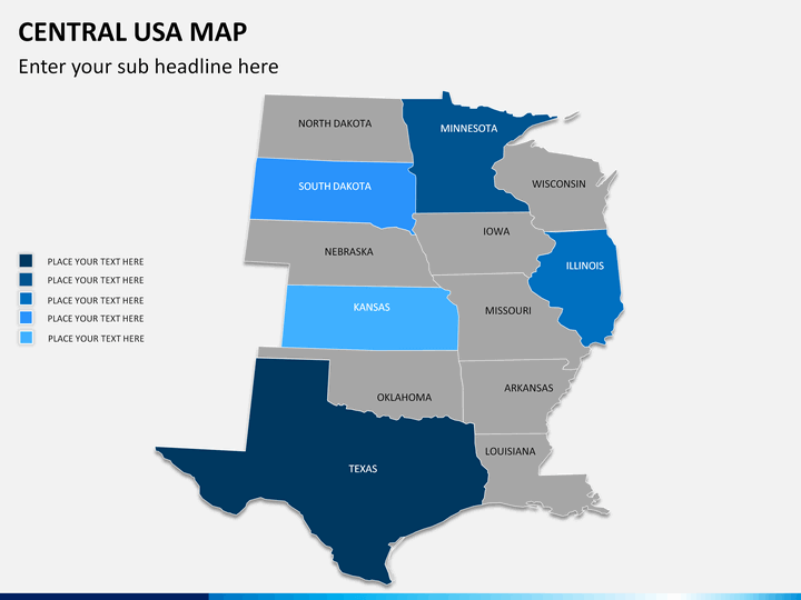
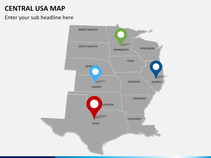
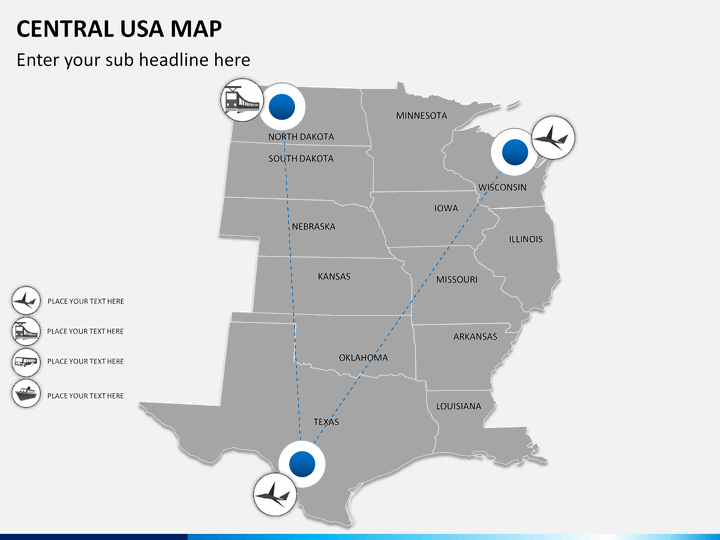
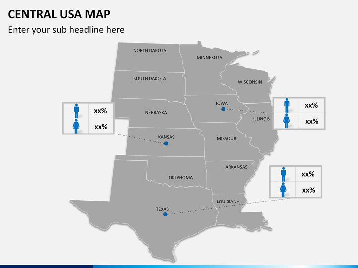
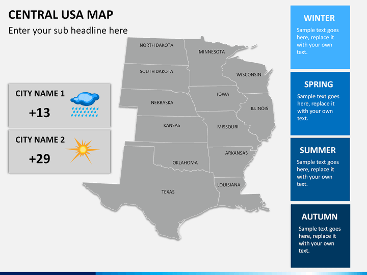
Why spending hours on creating the slides when you can pick up ready-to-use editable ones? It is indeed a most intelligent move to pick one of these and edit them a bit. You can separate the cities, color and label the counties, pin-point & highlight particular areas. You can add and remove any data as per your requirements.
By saving all your time from unnecessary task, you will get to work better on the content. And obviously, you will deliver at your best. So stop bothering, getting those jittery feelings, and say goodbye to the butterflies in your stomach. You are going to intensify your talk; power up your facts; and add splendor to your information. Hold your breath; you are all set to hypnotize your audience with most spectacular presentation ever.
About Central USA
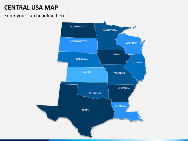
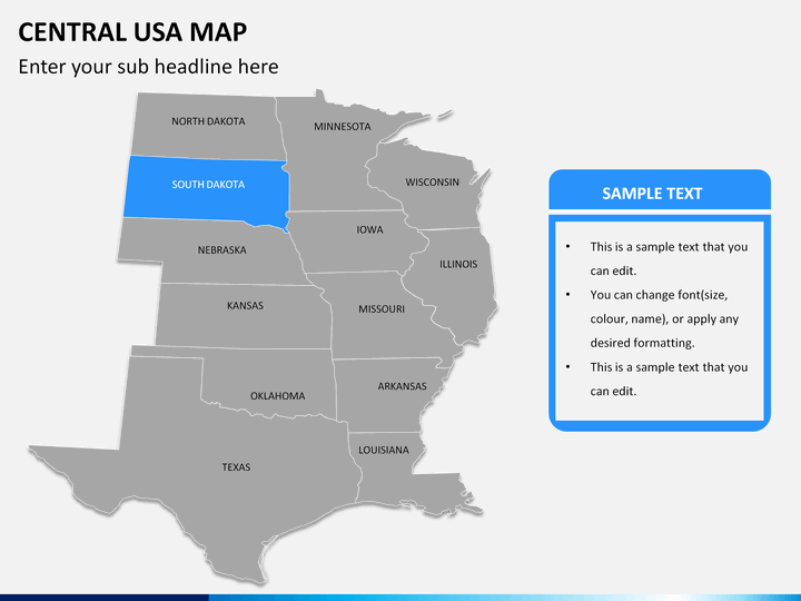
The part of USA that is sandwiched between the Eastern and Western parts of the nation is known as the Central United States. The area almost coincides with the Midwest, though it doesn't include the Southern regions. It is not exactly in the center but somewhat towards the East Coast. The major States that fall in the region includes - North Dakota, South Dakota, Nebraska, Kansas, Oklahoma, Texas, Minnesota, Iowa, Arkansas and Illinois.
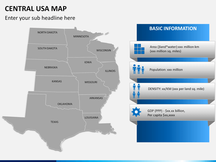
Template consisting of map indicating all the major states and important geographical regions, political and physical boundaries will help you accentuate your points in a lot easier way.