United States (US) Maps
United States (US) Maps for PowerPoint and Google Slides
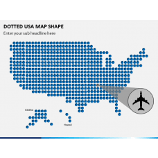
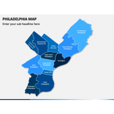
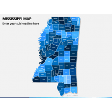
Leverage our US Maps templates for PowerPoint and Google Slides comprising vector-based, high-definition maps of the United States of America to illustrate your business presence, sales territories, investment and expansion opportunities, current/planned business locations, and much more. The decks offer fully customizable maps of different states (such as California, Texas, Washington, etc.) and prominent cities (such as Seattle, Las Vegas, San Francisco, etc.) of the United States that professionals from various domains can use to present region-specific data efficiently.
Read More
-

- Sale
- Sale
- Sale
- Sale
- Sale
- Sale
- Sale
- Sale


Offer a Wide Variety of Usages
From business leaders to managers, researchers to educators, these PowerPoint and Google Slides can be leveraged by professionals for presenting extensive information, such as:
- Available business opportunities
- Climate, demographics, or economic statistics
- Important cities and towns
- Locations and travel routes
- Region-wide sales data
- Market share and business locations
- Growth in the revenue and number of customers
- Tourist spots
- Modes of travel
- Weather conditions and forecasts
You can use these maps for various other purposes besides the usages mentioned above to make your information more understandable.
Distinct Designs and Features
- The boundaries in the maps are highlighted with precision, and the major cities, localities, towns, and landforms are accurately marked.
- The empty maps, as provided in the PPTs, can be used to depict information related to population density, social & economic data, tourism, history, etc., of a specific region.
- GPS markers, map pins, and flags make the information in your slideshows more understandable for the audience. For instance, you can effortlessly highlight any specific region of the country, alter its color and place a map pin to bring it to your viewers' notice.
- The maps showcase a man with the US flag, which can be used to illustrate your business presence in the states.
- One of the slides in the maps showcases the US's exact location on the world map, which educators and geographers can use to represent various geographical aspects.
- These easy-to-customize maps are scalable and are pretty easy to recolor.
- You need not worry about the resolution and quality while presenting on large screens, as they will remain intact.
Present a vast amount of information conveniently and quickly with our PPTs. Download them now!

Diagram Finder