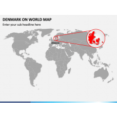
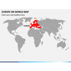
Europe Maps
Europe Maps for PowerPoint and Google Slides
Our entirely editable Europe Maps templates for PowerPoint and Google Slides are the best pick for sharing vital facts and statistics on different regions in Europe in a visually engaging manner. The high-quality map layouts can be used to make your presentations remarkable while presenting the data comprehensively. The amazingly designed decks also come in handy for presenters to showcase important areas and industry trends in the countries of Europe.
Read More
Multipurpose Slides
Professionals from different streams, i.e., business professionals, educators, meteorologists, etc., can leverage these ready-made templates to convey important messages graphically and drive maximum audience engagement.
Business Professionals can capitalize on the map illustrations to depict:
- Insights about market trends in each European country
- Organization’s branch offices
- Revenue generation from different locations
- Market share and customer base
Educators can leverage the creative map layouts for showcasing:
- The natural, ethnic, and cultural diversity of each country in the European continent
- Population and other details like male to female ratio, literacy rate, economic conditions, etc.
Meteorologists can use the map graphics for illustrating:
- Weather conditions of each country
- Climatic conditions over a specific time period
Professionals from the tourist industry can use the map graphics to demonstrate:
- Must-visit tourist destinations
- Information on travel routes
Spellbinding Features
- Each and every visual element can be conveniently customized to suit your presentation’s tone and facilitate the understanding of information.
- The high-pixel graphics look the same on all screen dimensions.
- Reusable for a lifetime by downloading only once.
- Assured round-the-clock customer support.


