

North America Map for PowerPoint and Google Slides
North America Map for PowerPoint and Google Slides
(16 Editable Slides)


(16 Editable Slides)
Related Presentation Templates
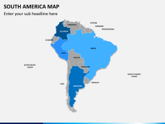
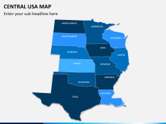
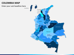
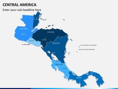
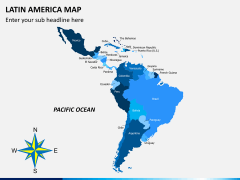
Say, your presentation requires you to highlight geographical boundaries or clearly visualize areas on a map, how you’re going to do it really well? Of course, you can’t get into digital cartography, leaving out all the other important tasks at hand unattended! And if every time you’re required to focus on different areas of the world, it won’t be an intelligent idea to spend hours on creating the visuals on your own. Thus, for your next presentation requirement, we have an entire ready-to-use set of PowerPoint North America Map Template. Now, whenever you need to represent the continent in whichever way, you have pre-made professionally created substitute to use!
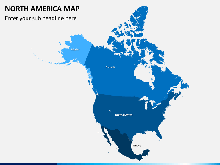
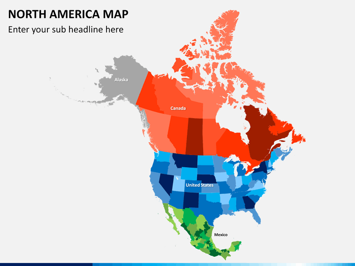
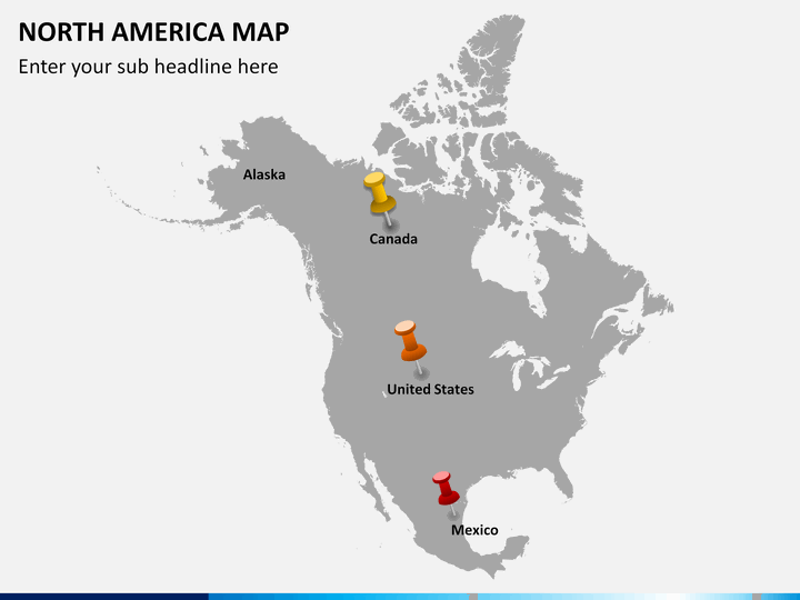
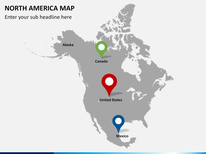
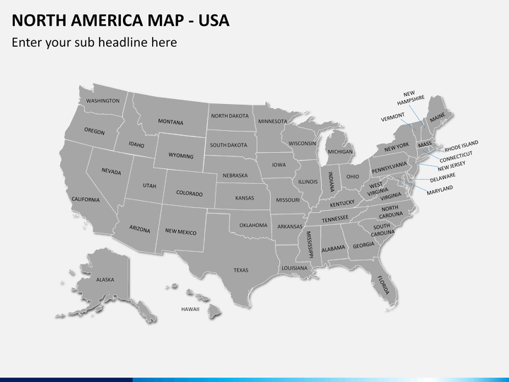
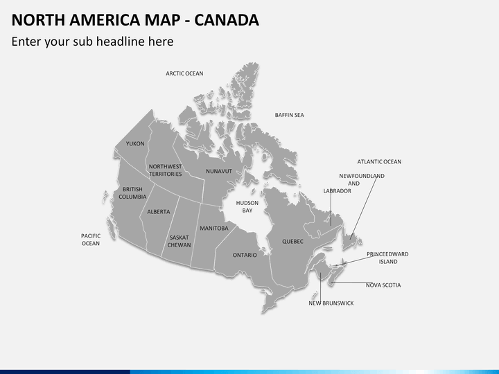
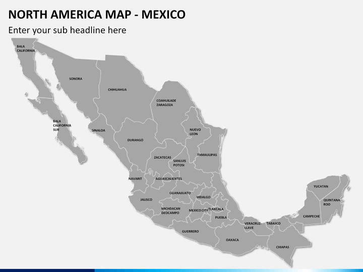
The set is apt for variety of purposes and easily fit in all your requirements. The set offers slides outlining all the major countries of the continent in most colorful and vivid manner. You can be a university professor aiming at discussing historically, geographically, and politically important facets of the important regions. You can also be an entrepreneur looking forward to expand your business to certain important countries and want to display the areas through map to make it clearer with your clients and partners.
About
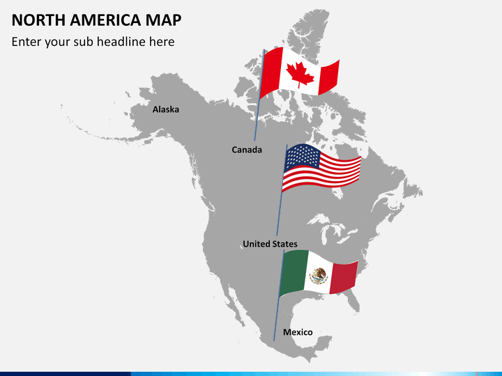
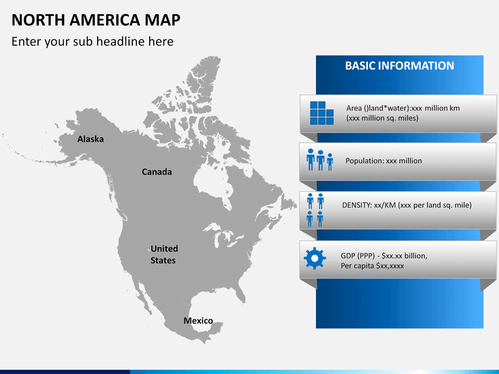
North America is a continent that lies completely within the Northern Hemisphere and if not completely then almost completely within the Western Hemisphere. More popularly known as the northern subcontinent of the Americas, it is bordered by the Arctic Ocean in the north, Atlantic Ocean in the east, Pacific Ocean in the south and has Caribbean Sea on its southeast along with South America bordering the region. It covers an area of about 24,709,000 square kilometers and has around 4.8% of the planet’s surface. Named after the Italian explorer Amerigo Vespucci, the major nations that occupy most of it include Canada, the United States of America, Mexico and Greenland. It has unique geographical significance and is important both politically and culturally as its major nations are key market players of the present day international business and trade scenario.