North America Maps
Editable North America Maps for PowerPoint and Google Slides
We have come up with a wide range of North America Maps templates for PowerPoint and Google Slides to help you create a striking presentation in minutes. The maps are highly visual, so you will be able to keep the audience engaged. Using eye-pleasing map infographics, you can highlight the boundaries and provide geographic details in a visually engaging manner. Our designers have adorned the PPTs with striking color combinations to help presenters communicate various aspects of the countries of this continent with ease.
Read More
- Sale

- Sale
-
-
-
-
-
-
-


Let’s Look at the Templates’ Design
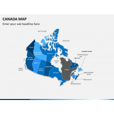
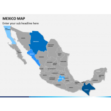
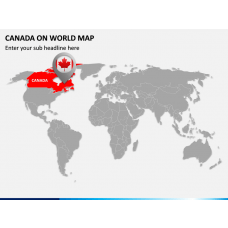
Our best collection of decks includes a separate map layout for each country in the North American continent, like the USA, Canada, Mexico, etc. These are crafted with professionalism and creativity. Moreover, the slides with impeccable designs come in handy to quickly fetch the audience’s attention.
Versatile Uses of the PowerPoint Slides
Business professionals can leverage the map layouts to:
- Portray their company’s offices in the continent
- Present the most profitable sites/locations
- Discuss challenges, business opportunities, and legal compliances of each country, state, or city of North America
Educators can impart knowledge on:
- The powerful countries of the continent
- Population and population density
- Other demographics like male to female ratio, individual disposable income, literacy rate, etc.
Tour operators can use the graphics to:
- Demonstrate the must-visit places
- Provide information on travel routes
- Depict the best period to visit the USA, Canada, and other North American countries
Captivating Features
- You can tailor and update the decks to fit them into your company’s tone without encountering restrictions.
- The quality of the high-definition maps won’t disturb even scaled to a widescreen.
- Get lifetime ownership of the sets after downloading them once.
- Dedicated 24*7 available customer care teams.

Diagram Finder