

Ivory Coast Map for PowerPoint and Google Slides
Ivory Coast Map for PowerPoint and Google Slides
(16 Editable Slides)

(16 Editable Slides)
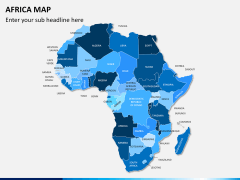
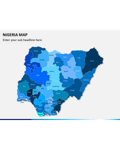
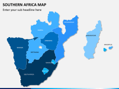
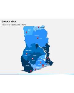
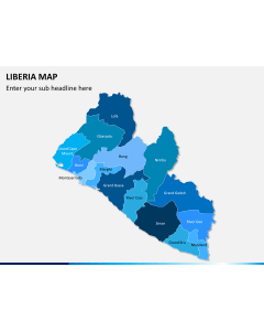
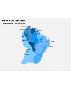
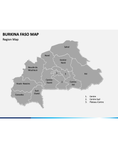
Related Presentation Templates
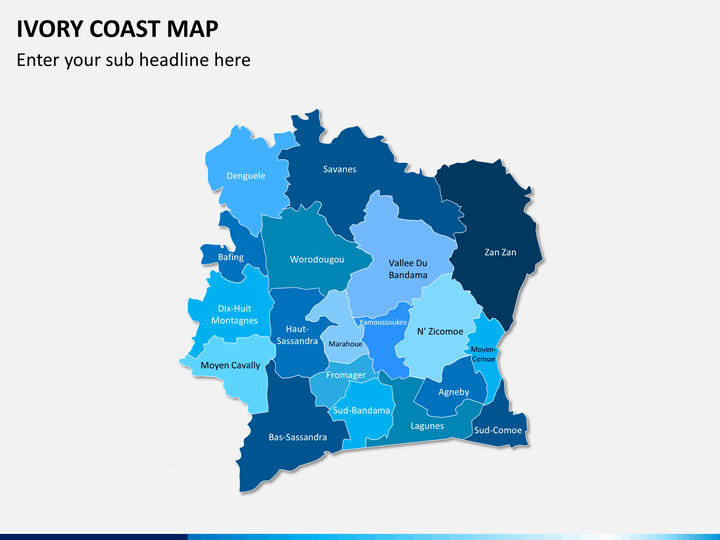
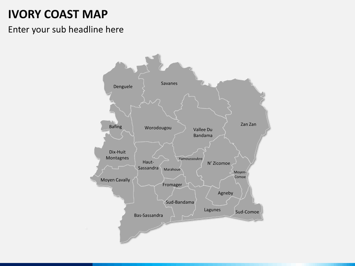
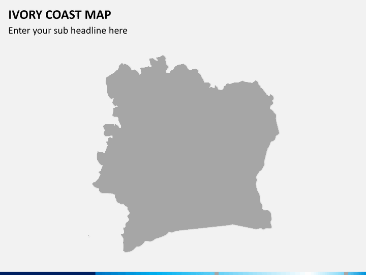
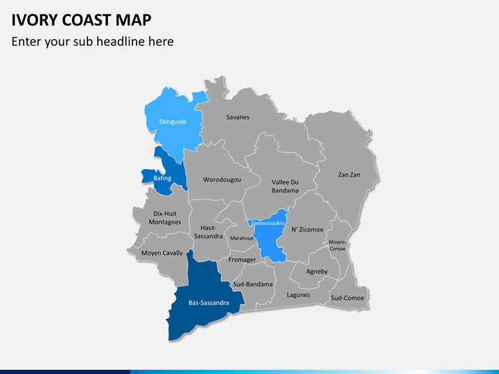
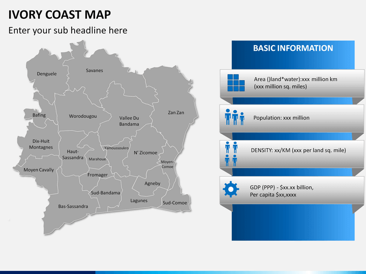
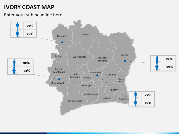
Ivory Coast Map PowerPoint template is a fully customizable set of professionally-designed slides comprising beautiful maps of the Ivory Coast, a country situated on the south coast of West Africa. The easy-to-use maps showcase the major cities, subdivisions, and localities of the country. Our skilled designers have created this deck quite versatile for different purposes, keeping in mind the requirements of a wide array of professionals.
With this set, it will be easy to create business and educational presentations. You can add text in the text placeholders and change the background color to suit your needs. The deck is available with separate files for Microsoft PowerPoint, Google Slides, and Apple Keynote. So, download it instantly.
Utility for Different Presentations
Our user-friendly maps can be effectively used for different purposes, such as:
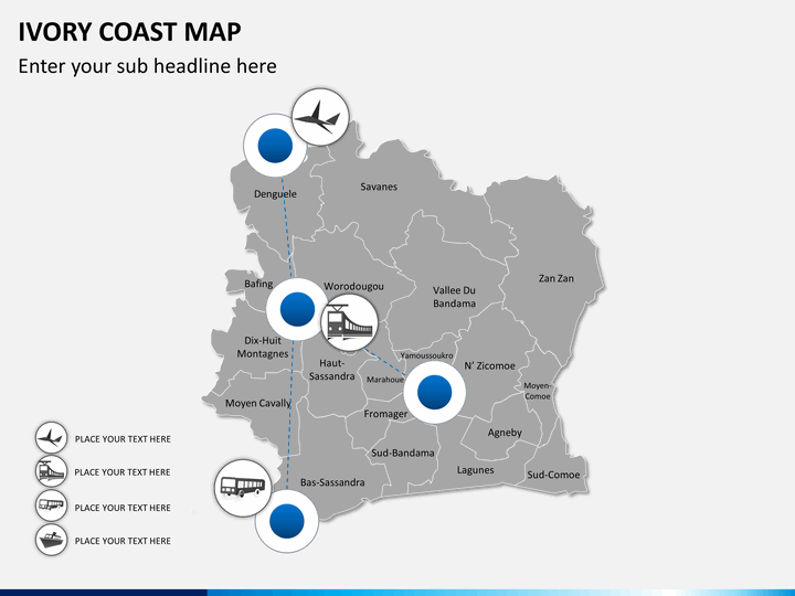
- You can display cities and different travel routes with localities marked with clarity and precision.
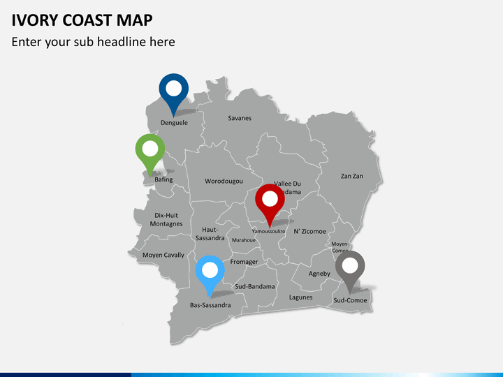
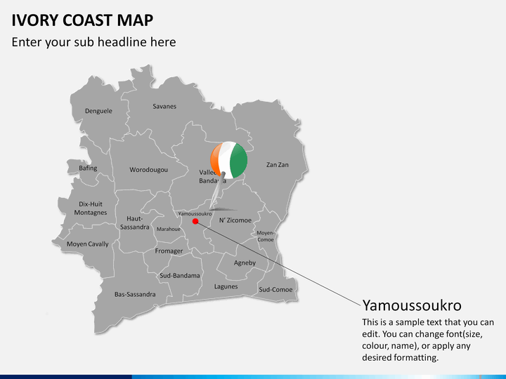
- The PPT can be utilized by the territorial heads, regional heads, and senior executives to communicate about investment opportunities, expansion plans, and company’s market share in particular regions of the nation. Some of the slides depict individual regions on the map, making it easy for business executives to exhibit region-specific information.
- Sales and marketing professionals can showcase particular areas of specific importance to them in terms of customer base, revenue generation, etc. For this, we have provided maps with zoomed pictures of some of the major cities.
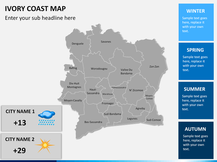
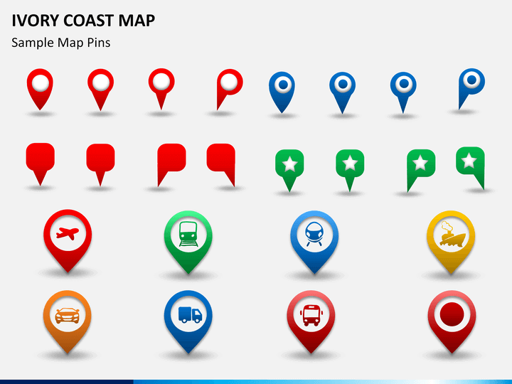
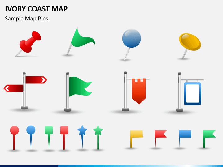
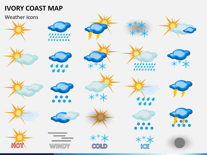
- The availability of different elements like GPS markers, map pins, flags, and weather icons makes it convenient to highlight a particular area or region and depict information related to demographics, weather conditions, tourism, social & economic data, and much more.
- Educators can explain literacy rate, GDP, sex ratio, population, density, and other aspects of this nation to the students.
- Travelers can share their travel plans and explain the best time to visit, what’s famous about the place, how to reach through different means of transportation, etc.
Impeccable Features
The deck is packed with some outstanding features that will spellbind your audience.
- HD and vector-based graphics have been used to make it enriching.
- Easily editable, even a non-technical person can make edits and present conveniently.
- You can change the color of any city to accentuate it.
- The quality and resolution will not get hampered even if you present on large screens.
This Ivory Coast Map PPT is a complete presentation in itself to present extensive information in an engaging manner to the intended audience. So, download it now!