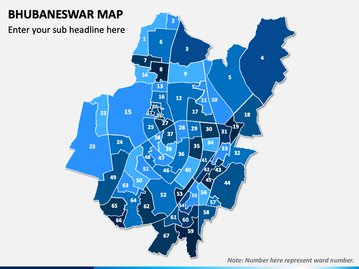
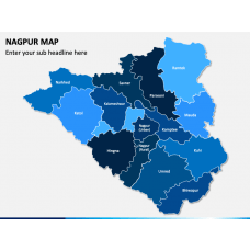
Effectively communicate accurate information using our Bhubaneswar Map PPT template. These pre-designed illustrations come in handy when you don’t have much time to draw maps from scratch. Moreover, you can make your slideshows more interactive by adding these maps.
These infographics are the best pick for business and educational presentations for showcasing region-specific data with great visual impact. Entrepreneurs and senior executives can use these maps to illustrate the location of their sales partners, production facilities, outlets, etc. Educators can leverage these PowerPoint slides to educate the students about the geographical and historical aspects of Bhubaneswar.
A Quick Look at the Slides
- All the cities and landmarks of Bhubaneswar are depicted clearly.
- An infographic of GPS with India flag and text zones can be used to represent the sex ratio, literacy rate, population, etc.
- One of the slides portrays a slide man with India flag. You can supplement this graphic with relevant content.
- Colorful icons of sample map pins have been provided in a few slides. You can use these icons to highlight any specific region of this Indian city on the map.
- The weather icons of cloud, snowfall, thunderstorm, haze, sun, etc., can be used to explain the weather conditions of Bhubaneswar.
Features
- It’s super easy to customize the maps to match your specific presentation preferences.
- As the high-resolution map graphics are resizable, you can present them on both standard and widescreen with sheer excellence.
- You can be the lifetime owner of this PPT and use it the way you want after downloading it just once.
- We value your time and provide you with convenient, fast omnichannel customer support to resolve your problem at the earliest.
Visualize your unique and complex data with simplicity and make it etched in the audience’s memory using these creative map layouts. Download them now!

