


Similar Products
- Sale

- Sale
- Sale


Maps are vital for business professionals, educationalists, researchers, tourists, and others to showcase all the necessary details about a specific region/area/place. So, if you are looking for a way to create a presentation on Borneo Island, then you have landed at the right spot. We have come up with the power-packed and high-quality Borneo Map PPT template. Using these maps, you can beautifully illustrate the climatic, demographic, and geographical information of this third-largest island in the world, i.e., Borneo. Further, you can use these professionally-designed maps to showcase the famous tourist attractions, areas with the highest customer base, location of different business units, and much more.
About the Design
- One of the slides depicts a map that can be used to represent the island’s boundaries. You can easily exhibit that the island is divided among three countries – Malaysia and Brunei in the north and Indonesia to the south.
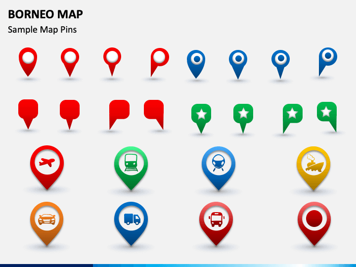
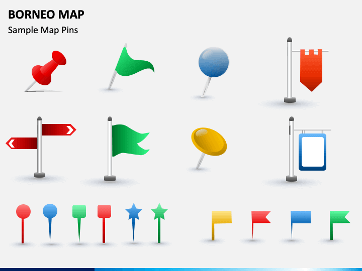
- The slide containing the icons of GPS trackers, map pins, and flags can be used to highlight various information about a specific region of the island.
- The icons depicting different transportation modes like flight, train, metro, ship, etc. can be used to highlight the available mediums to reach Borneo.
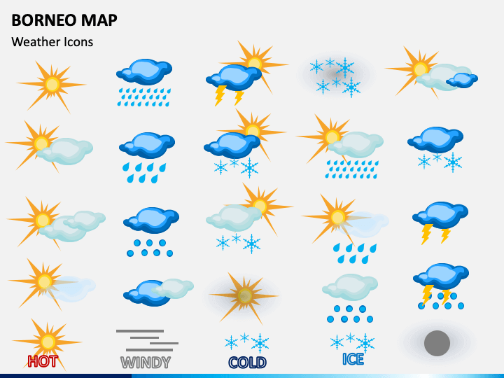
- Weather icons can be used to depict the climatic conditions of the region.
You can add your content in the desired style, size, and color to the text placeholders.
Features
- Our designers have designed these high-definition maps to help you deliver a stunning presentation on all screen sizes.
- Every map has been designed from scratch to avoid copyright issues.
- You can use any of the maps in your existing or future presentations.
- A separate file is available for Microsoft PowerPoint, Apple Keynote, and Google Slides.
So, download it instantly!
Write Your Own Review

Related Products


