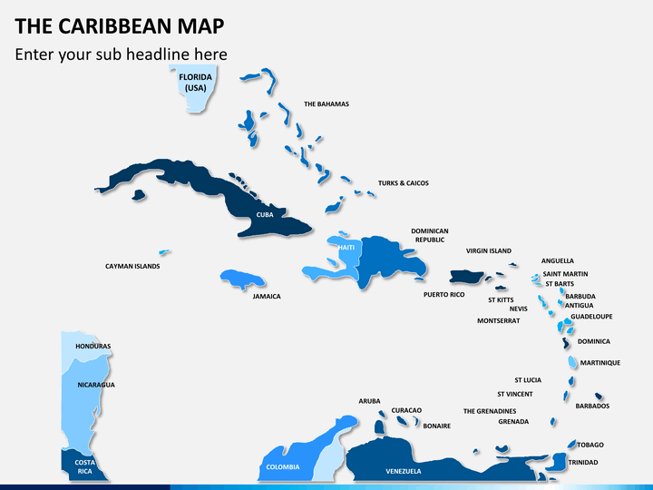
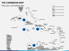
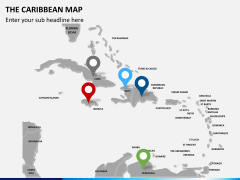
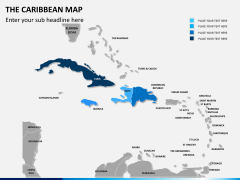
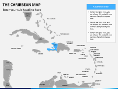
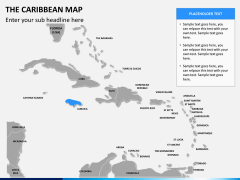
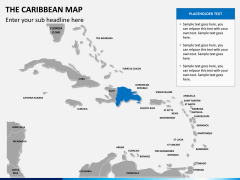
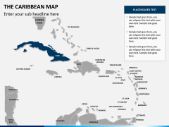
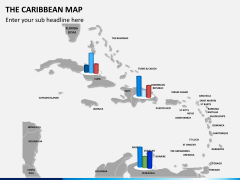
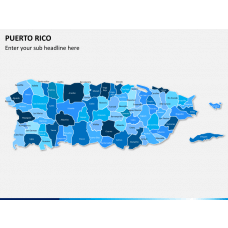
Our Caribbean Map PowerPoint template has been designed to discuss in detail the Caribbean region. Supported with graphics and topological maps this template set comprises of 12 editable PPT slides which can be customized in any way possible to attain the optimal presentation as the output.
The slides have a very detailed map of the region which outlines all the important island nations. This region is a big area to depict but our professionals have designed the graphical maps in such a way that almost every important territory can be seen and marked in the presentation. The region mostly features islands and the sea so it is important to discuss the conveyance routes from one place to another in the region, and for that reason, we have slides which will help you illustrate these facts in detail.
Color combinations of the template have been taken deep care of, by our professionals so that the presentation looks attractive and the audience stays focused. The fonts and the graphics of the slides are resizable. Just fill in your relevant and amazing data in to these slides and deliver a spell bound presentation which entices as well as educates your audience in a commendable manner.
About
Caribbean Region is situated in the vicinity of Central America, and comprises of 700 islands surrounded by the Caribbean Sea. Because the region comprises of a lot of islands, there are numerous serene and beautiful beaches which are incredibly famous among travelers and tourists visiting this region. It has an enormous amount of varied species of flora and fauna and feature various types of forests and scrub lands to coral reefs and marine life. These islands house indigenous populations where people are hospitable. A traveler's heaven, this place has some of the most stupendous scenic beauties in the world.

