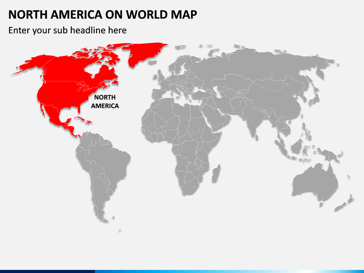
With our visually appealing North America on World Map PPT, you can pinpoint the accurate location and adjacent nations of North America on the world map. The PowerPoint slide comprises a well-designed map illustration highlighting North America. From business professionals to meteorologists and educators to tour planners, everyone can leverage the map illustration as per their requirements. Meteorologists can represent the weather and climate conditions of North America. Educators can showcase the ethnic, cultural, and historical details. You can also highlight the challenges and opportunities to operate and expand your business in North America.
Aesthetic Features
- You can make the changes in no time and with the minimum effort invested.
- The map graphic can be scaled to any screen size without disturbing the optical resolution.
- No user will encounter copyright issues, as every element is crafted after extensive research.
Make a quick move! Grab this PPT to keep your audience glued till the last slide of your presentation.


