


Similar Products
- Sale

- Sale
- Sale
- Sale
- Sale
- Sale


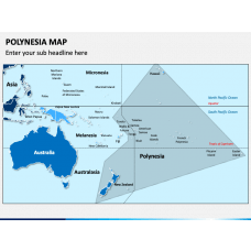
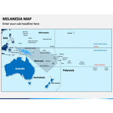
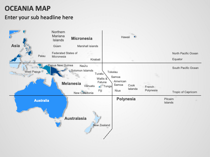
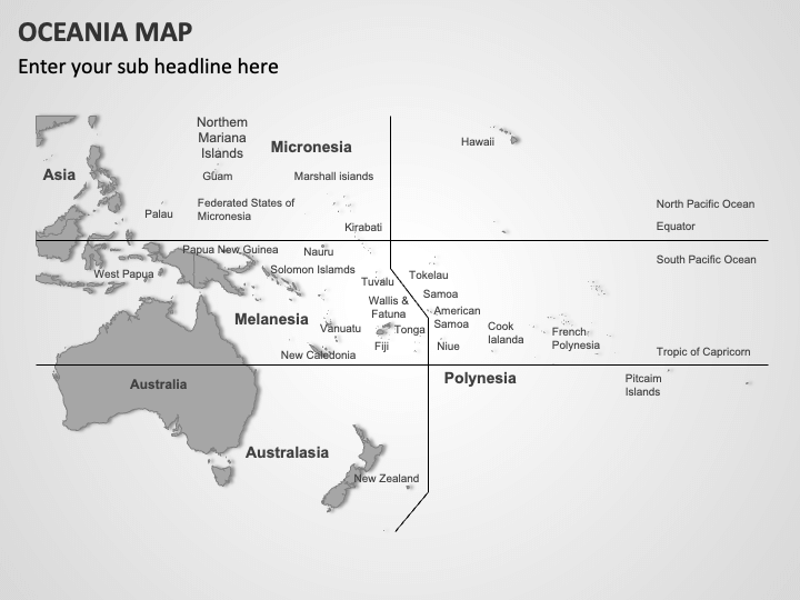
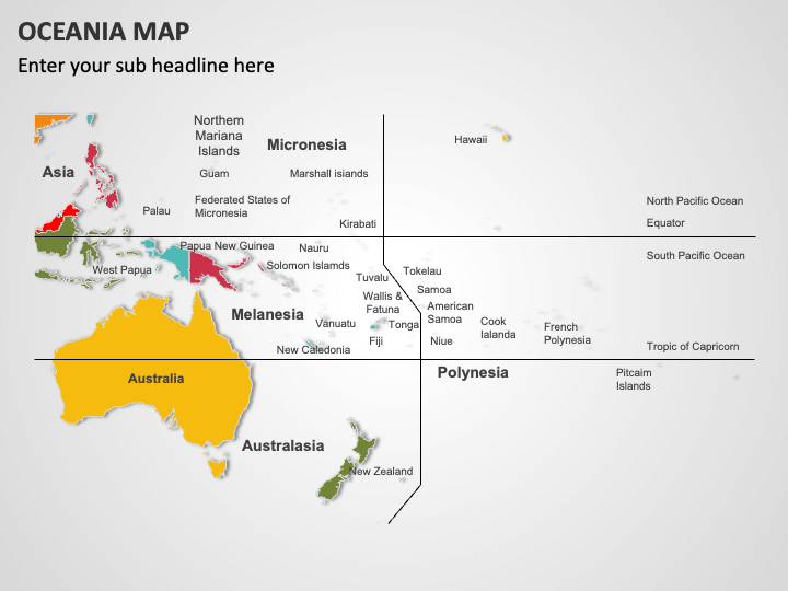
Download our Oceania Map template for PowerPoint and Google Slides to showcase a myriad of information related to the Oceania region in a visually engaging manner. Business and market analysts can use this deck to display business conditions in this region, including rules and regulations concerning market entry or expansion. Educators can use high-quality map illustrations to portray individual countries, major islands, mountain ranges, and water bodies within Oceania. You can also depict the cultural diversity of this region, including languages spoken and cultural practices. Economists can use this set to display each Oceanian country's economic data, such as GDP, major industries, and trade partners. You can also highlight popular tourist destinations and attractions across this geographic region.
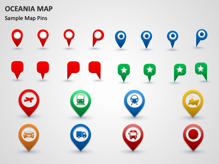
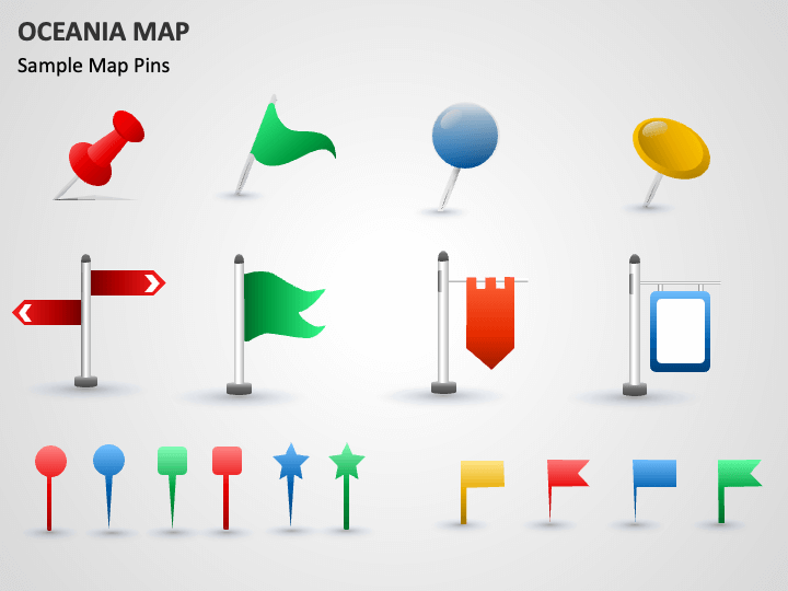
The slides feature map diagrams, map and GPS pins with symbols of diverse transportation mediums, and weather icons. Leveraging them, you can depict major regions of Oceania, transportation infrastructure, and climate patterns.
Features
- Make the desired changes in the deck without comprehensive technical expertise or external aid.
- The set has been designed after extensive research to eliminate the scope for copyright issues.
- The maps can be projected on different screen sizes without disturbing optical resolution and quality.
Get this PPT to enrich your presentations!
Write Your Own Review

Related Products


