
Ontario Map for PowerPoint and Google Slides
(14 Editable Slides)


Ontario Map for PowerPoint and Google Slides

SB1978
Available For


Similar Products
- Sale

- Sale
- Sale
- Sale
-
- Sale


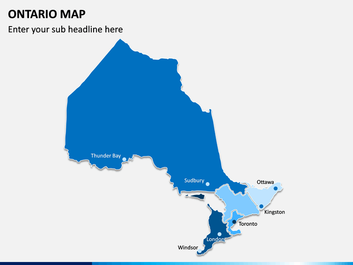
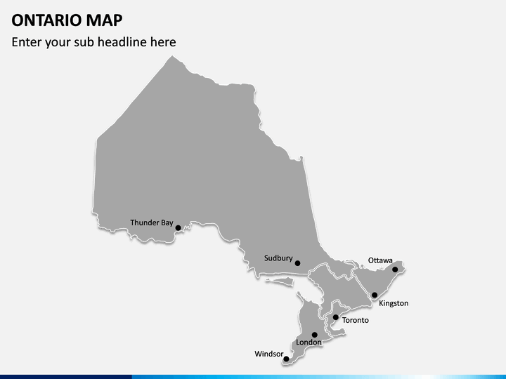
Detailed Maps of All Kinds
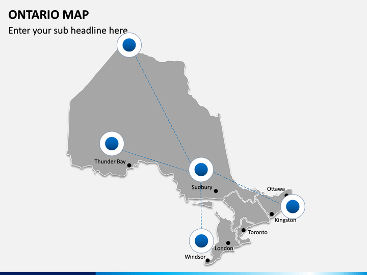
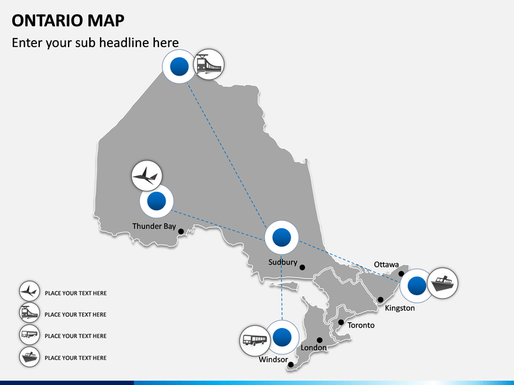
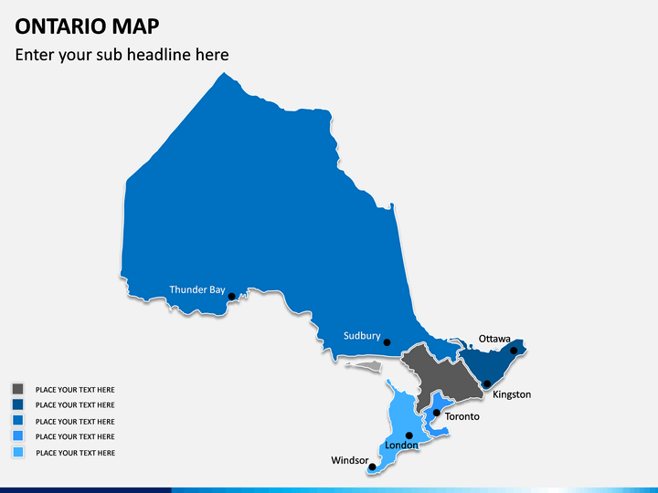
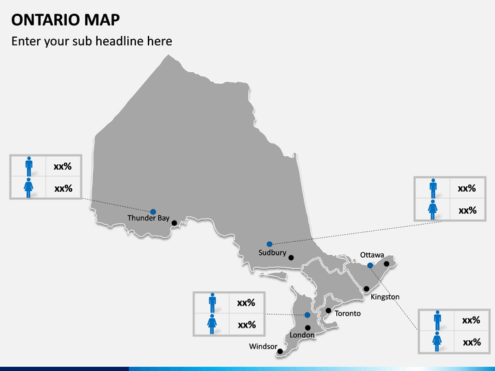
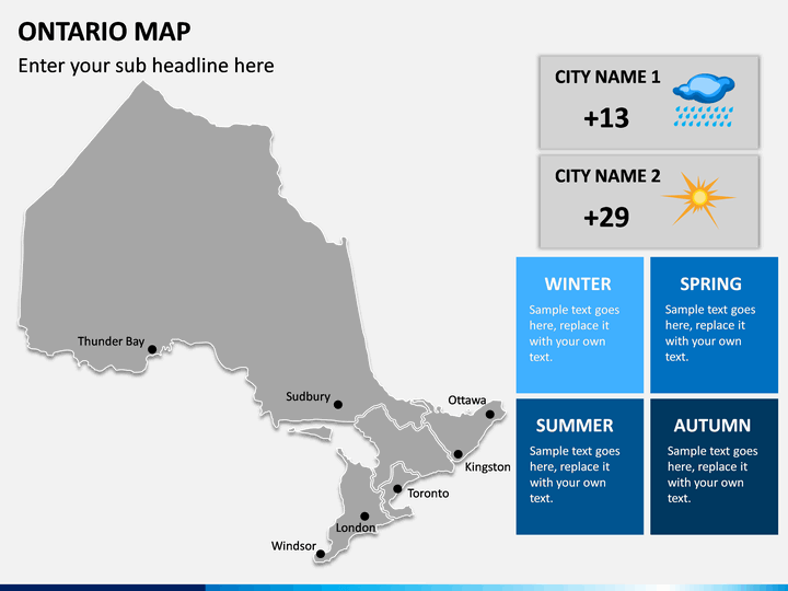
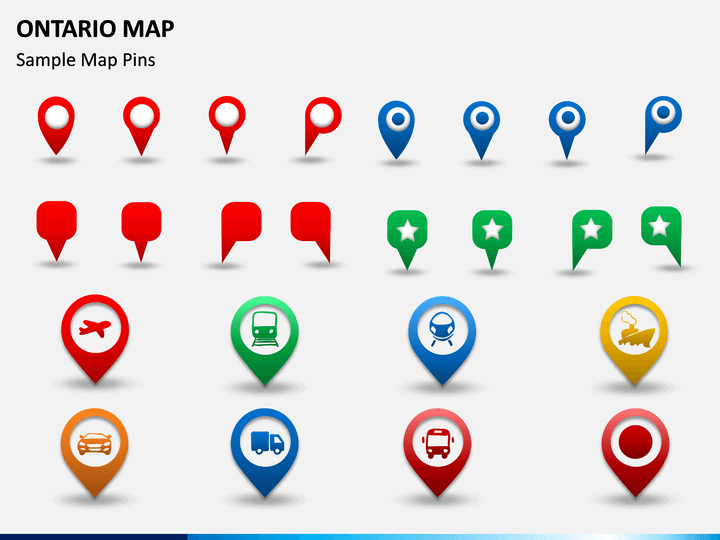
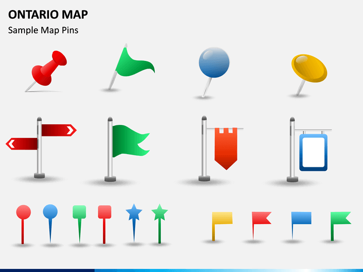
The central Canadian state is a highly diverse area and is known for its various opportunities. If your business is also related to Ontario, then this would be a highly useful set for it. It features a wide array of various maps of the state that you can use in different situations. It consists of maps depicting all the major provinces and cities of the state, its political layout, and its connectivity. Apart from that, there are different sorts of editable maps that you can use to showcase the weather or depict your own information. All of this makes this editable Ontario Map PowerPoint template a must-have set for every business owner related to the state.
Drafted by Leading Experts
If you want to stand out of the crowd and get noticed for your presentation skills, then consider using these maps right away. All these Ontario Map PPT slides have been drafted by our experienced designers after extensive research. You can use them on multiple occasions without any copyright issues. These vectors are compatible with MS PowerPoint, Apple Keynote, and Google Slides. Since they are pretty easy to use, you don’t need any formal training to edit them.
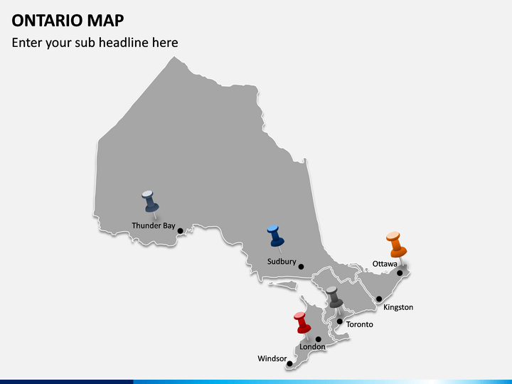
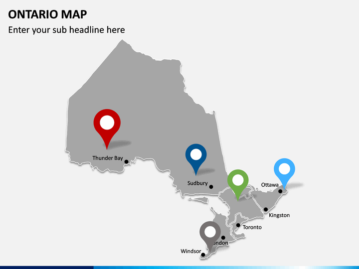
Add the Perfect Visuals
If you want, you can clip out any map from the set and include it in your next slideshow. This will elevate the overall aesthetic appeal of your documents for sure. You can also focus on any region of the state and further add your own content to customize these slides. Therefore, educators and corporate professionals can use this set in their own way without any constraint.
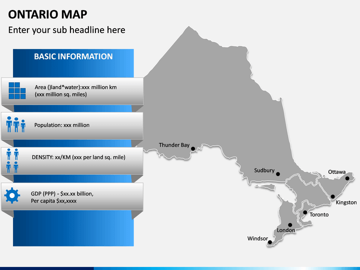
About Ontario
This central state in Canada is the home of 14 million inhabitants, which makes it the most populous state in the country. It is bordered by the US states on one side with Manitoba and Quebec states on the other. The state is known for several natural attractions and lush green scenery, including the famous Niagara Falls. Although it hosts a cold and dense climate, it is also the hub of Canada’s manufacturing and financial sector. Toronto is the state’s official capital and its biggest city.
Write Your Own Review

Related Products


