

Mississippi Map for PowerPoint and Google Slides
Mississippi Map for PowerPoint and Google Slides
(9 Editable Slides)
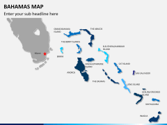
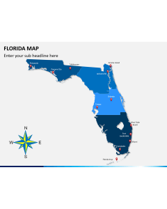
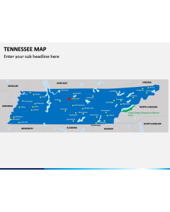
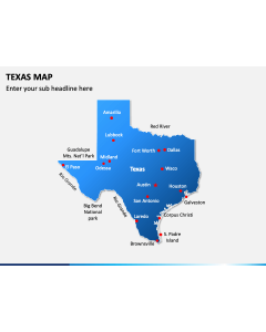
Related Presentation Templates

Maps are the best way to demonstrate the demographic and geographical aspects of a specific city, state, or country. Therefore, we have brought you the Mississippi Map PPT template to make your job easier and help you garner winning accolades from the audience. You can make the most of these map illustrations by describing certain challenges, legal compliances, and business opportunities available in the Mississippi state of the USA. Business development managers can represent their market share and the customer base in the state in front of new clients and customers.
Marketing experts can use this deck to depict the information about the state’s audience’s taste and preferences, followed by the list of most effective marketing and advertising platforms that work best over there. Educators can leverage the 100% editable set to showcase a detailed description of the state’s historical, economic, educational, and cultural features.
Have a Closer Look at the Slides
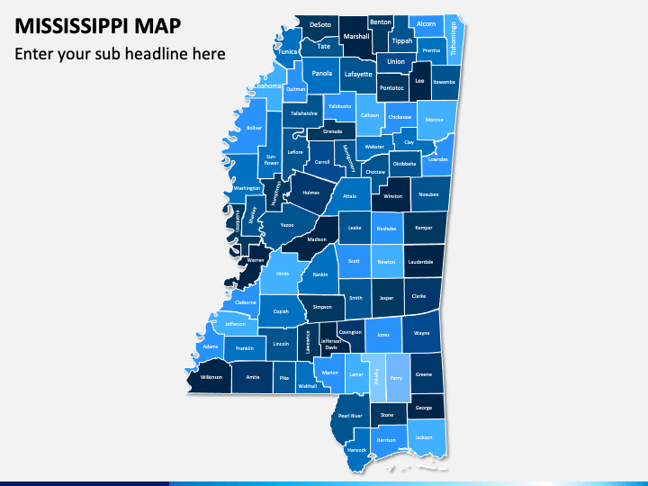
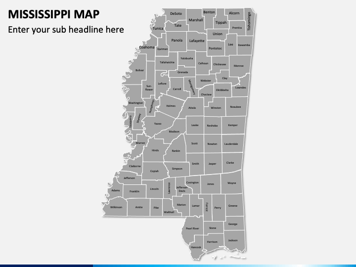
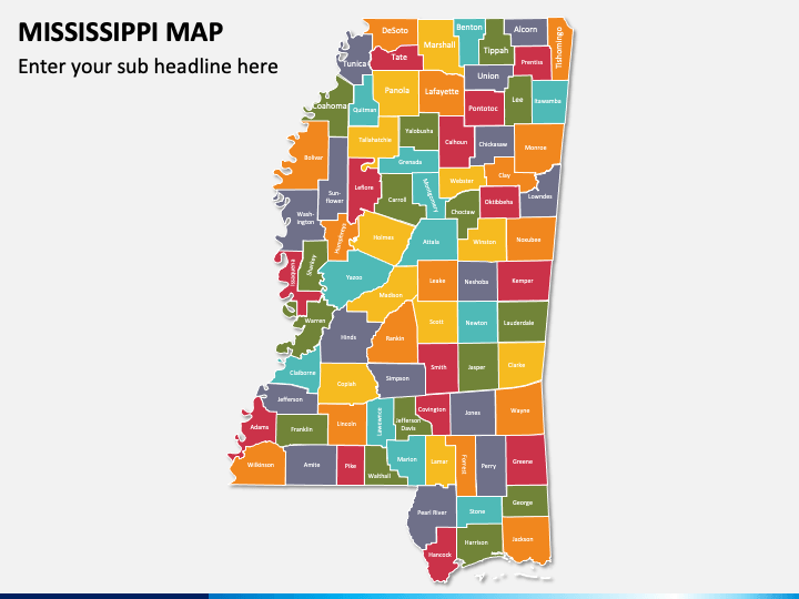
- Several eye-pleasing and different theme-based map illustrations depict the capital city and other important places of Mississippi.
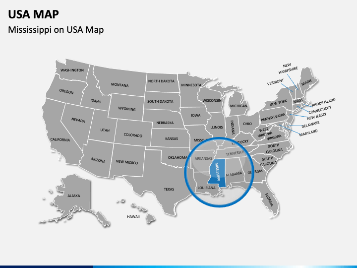
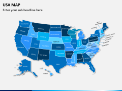
- You can highlight the exact position of Mississippi in the USA using a well-designed USA map infographic.
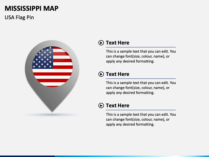
- A GPS pin with the USA flag adjoining a few textual boxes can be used to provide information on the politics and government, transportation, education, economy, etc., of the state.
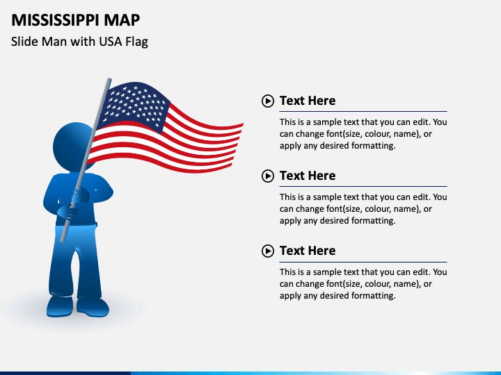
- The illustration of a slide man holding the USA flag adjacent to many easy-to-edit text placeholders can be used to display other minute details of the state.
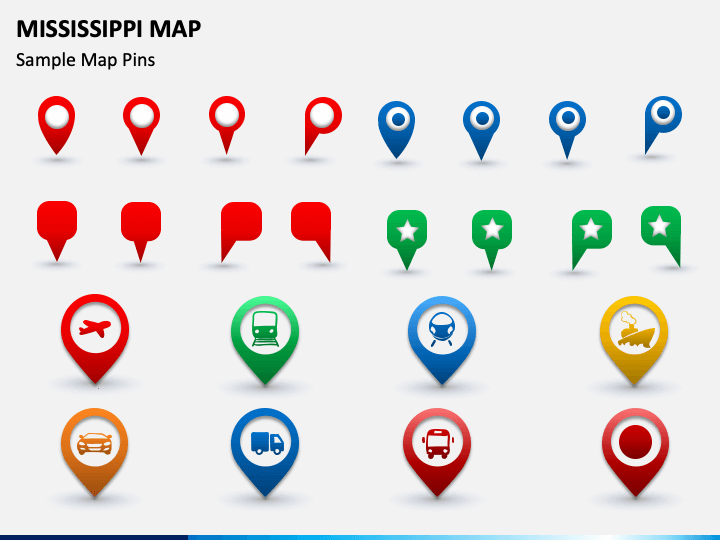
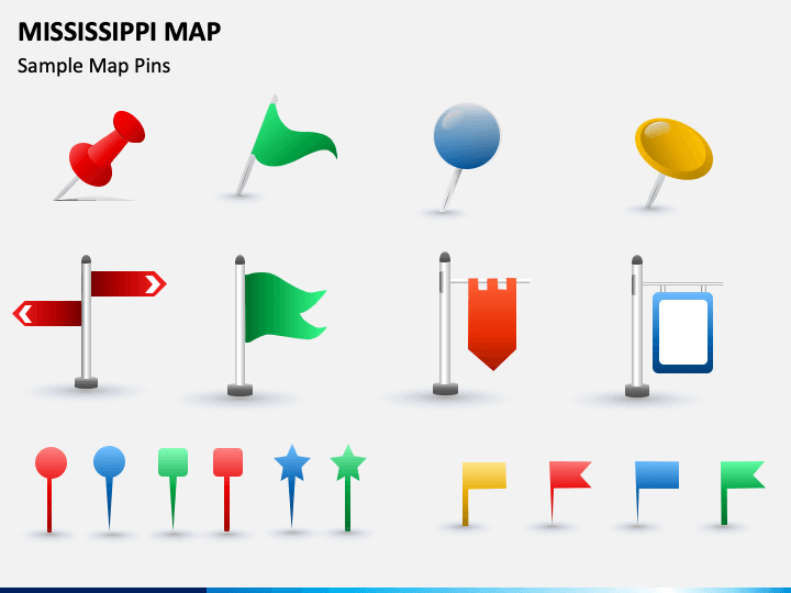
- Using several GPS and map pins icons, you can describe the modes of transport available in the state and how well it is connected with other major parts of the USA and neighboring countries.
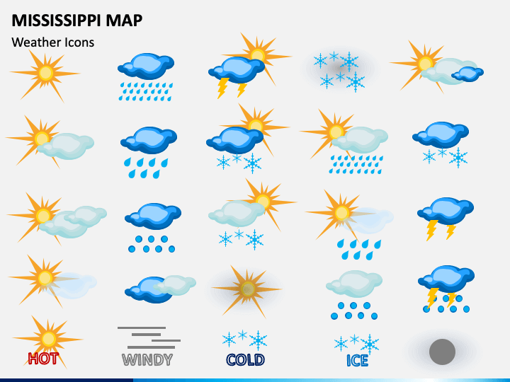
- You can leverage the icons of clouds with rain, sun, etc., to throw light on the weather and climatic conditions of the state.
Stunning Features
- Fully customizable
- High-definition visuals
- 24*7 customer support
- No scope for copyright issues
Make room for these PowerPoint slides and present award-winning presentations with the minimum effort invested!