


Similar Products


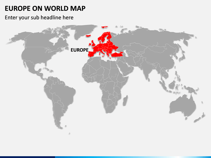
Our versatile Europe on World Map PPT is now live! Get it to portray the geographical boundaries of Europe, its neighboring countries, and other details like the largest European country in terms of land area, the most-visiting country by tourists, etc. The PowerPoint slide featuring an illustration of the world map depicts the exact location of the Europe continent. Educators can leverage this graphic to demonstrate each European country’s population, employment rate, economic conditions, literary rate, etc. Professionals from the tourist industry can visualize the best possible travel routes. You can further represent the information on the ethnic, cultural, and natural diversity of different European countries.
Best-in-Class Features
- The users don’t need specialized skills to modify the illustration to suit their needs.
- The quality of the illustration remains the same even when scaled to a bigger screen.
- Our customer support team can be approached any time without hesitation to get a fast turnaround to all queries.
Download this picture-perfect PPT to deliver compelling presentations!
Write Your Own Review

Related Products


