


Similar Products
- Sale

- Sale
- Sale
- Sale
- Sale
- Sale


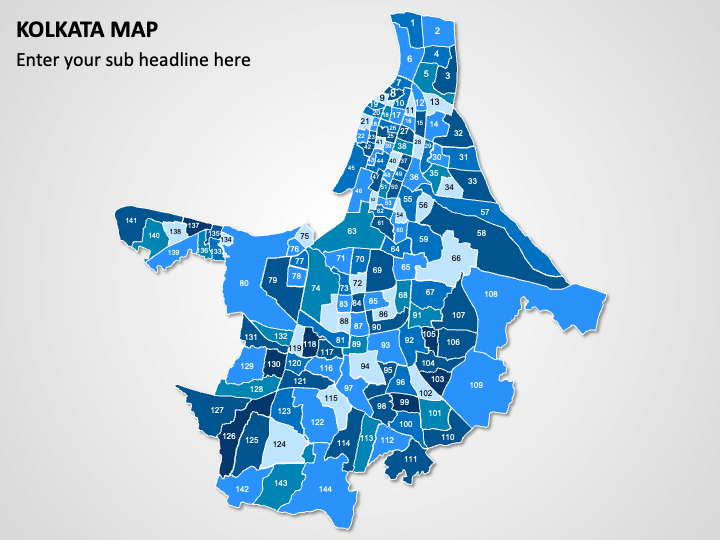
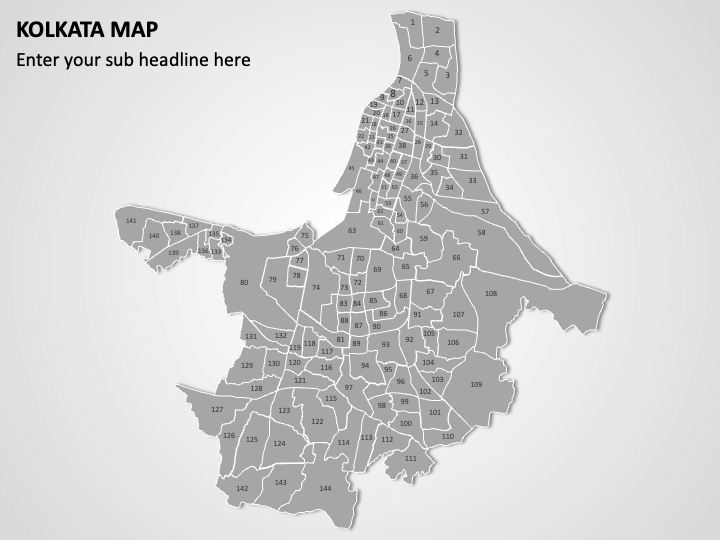
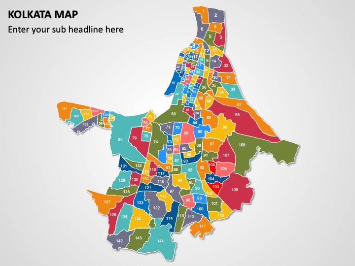
We have introduced the Kolkata Map template for PowerPoint and Google Slides to help you make your information about the cultural capital of India, i.e., Kolkata, easily understandable for your audience. Market analysts can use this graphic-rich deck to illustrate potential locations for setting up offices or stores based on economic zones and consumer demographics. City planners can highlight the city’s layout, including key districts, significant rivers, parks, landmarks, and neighborhoods. Educators can represent population density in different areas of the city. Tour operators can capitalize on high-definition map illustrations to pinpoint popular tourist destinations and cultural landmarks. Real estate developers can provide insights into property values and market trends.
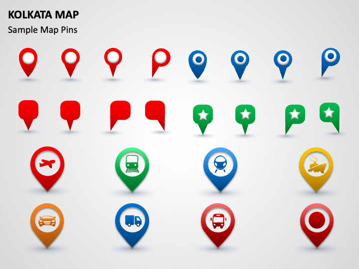
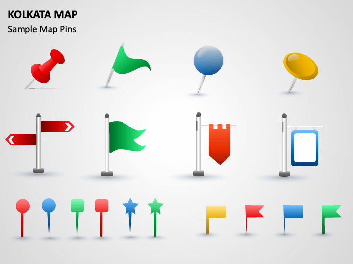
The slides feature map diagrams, GPS and map pins icons with symbols of different transportation mediums, and icons of clouds with the sun, rain, and thunder. Using them, you can illustrate key city areas, available transportation infrastructure, climate and weather conditions, and more.
Features
- Adjust the components to suit your liking without any hassle.
- All visuals guarantee consistent resolution and top-notch quality, even when projected on a widescreen dimension.
- Our designers have thoughtfully crafted the sets to ensure no copyright infringement issues.
Download this PPT to elevate the look of your presentation!
Write Your Own Review

Related Products


