
Bhutan Map for PowerPoint and Google Slides
(24 Editable Slides)


Bhutan Map for PowerPoint and Google Slides

SB792
Available For


Similar Products
- Sale

- Sale
- Sale


Creating a perfect map from scratch requires a significant amount of time, and you may feel overburdened if you don’t have designing skills. Here our professionally-designed Bhutan Map PowerPoint template can be of great help to you. The PPT contains high-resolution maps, interactive graphics, and easily editable text placeholders to help you depict geographical regions of Bhutan in a visually appealing manner.
Each map slide is 100% editable and user-friendly. These pre-designed maps will make your job easier and help you present like an expert. These maps can be used to portray the tourism plan, business expansion plan, investment plan, sales activities, and every minute detail of your business. So, download it now!
Features of this Deck
Focusing on all your requirements and preferences, our skilled designers have crafted this Bhutan Map PPT with great attention to detail to help you prepare and deliver a remarkable and excellent slideshow within a short period of time.
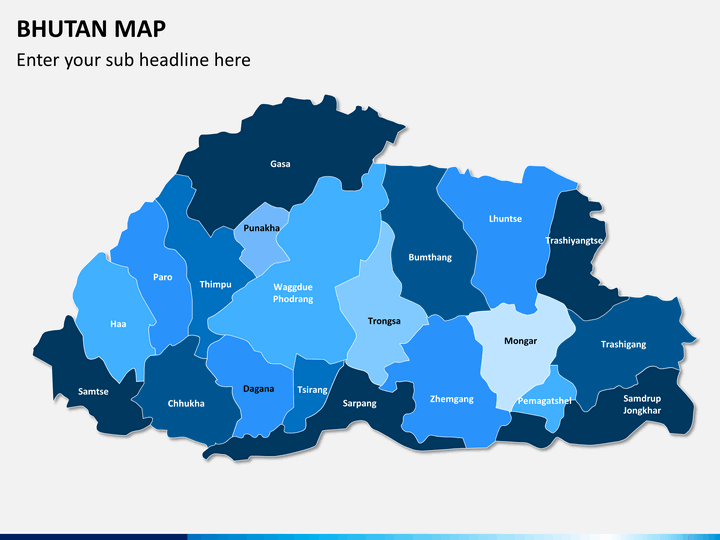
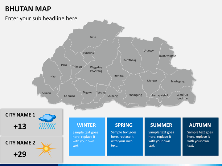
- Every state and big cities have been marked appropriately with clarity.
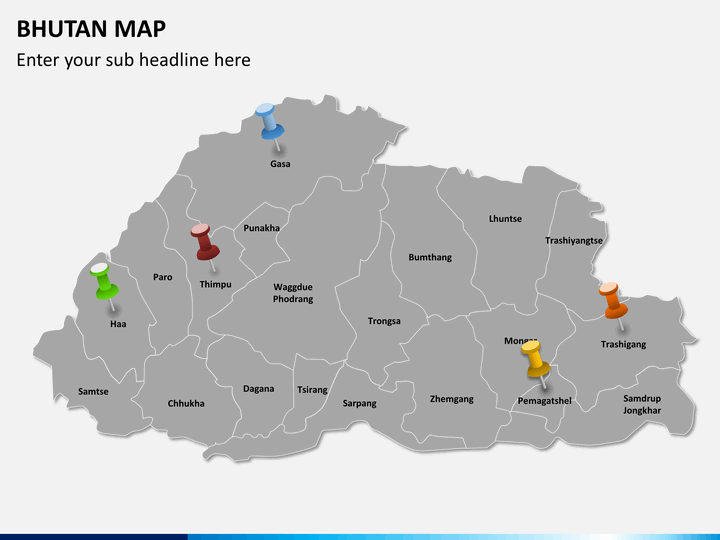
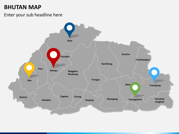
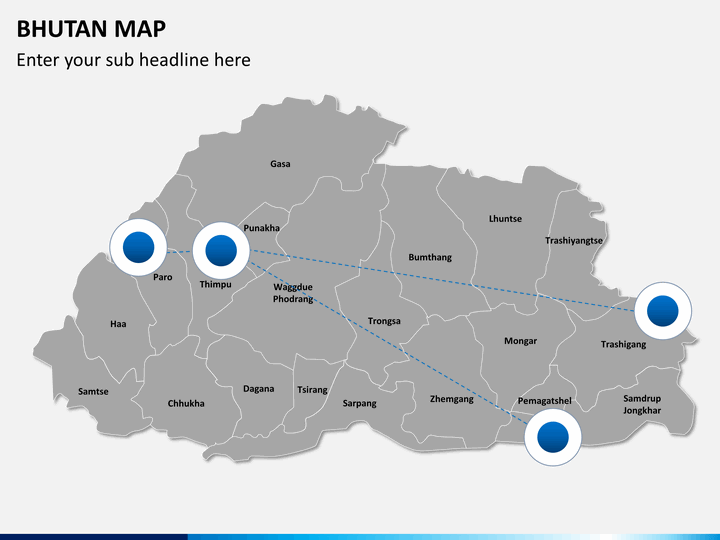
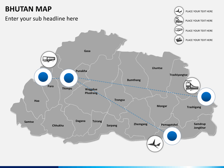
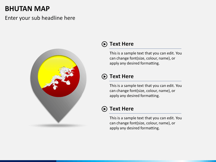
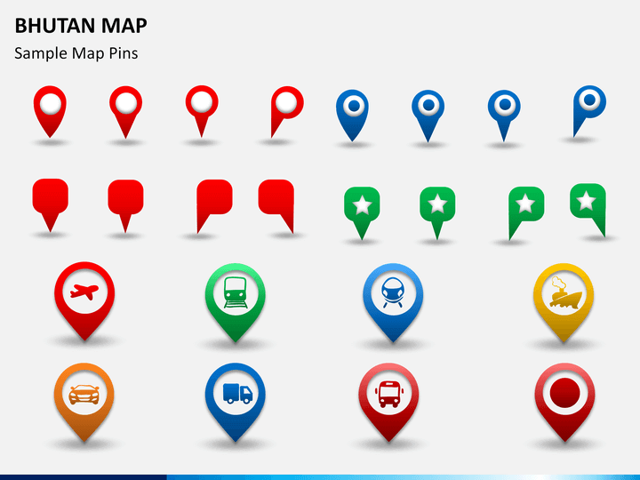
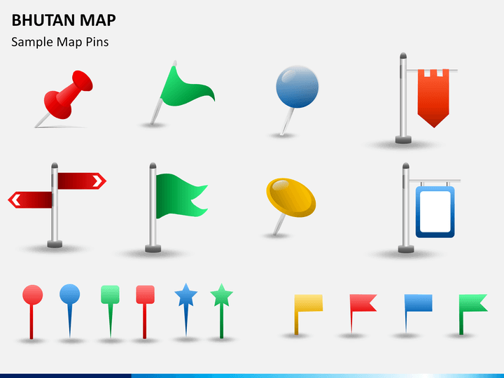
- One of the slides contains map pins and the icons of GPS trackers depicting the capital city and other major districts and sub-districts.
- The distance between different cities and the shortest and longest ways to reach them through various transportation modes can be depicted easily using these maps.
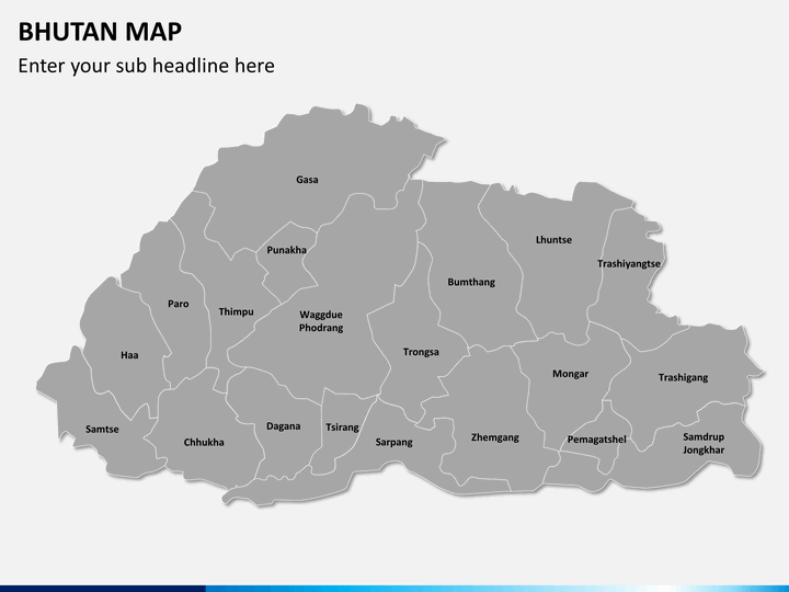
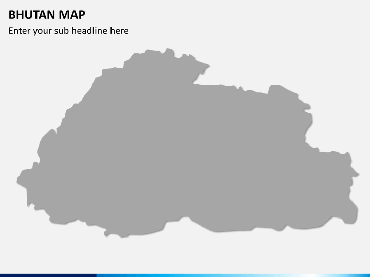
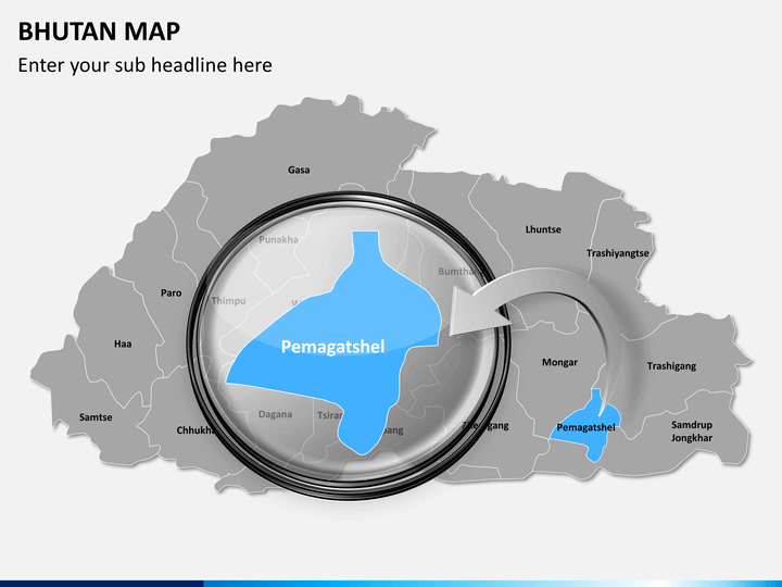
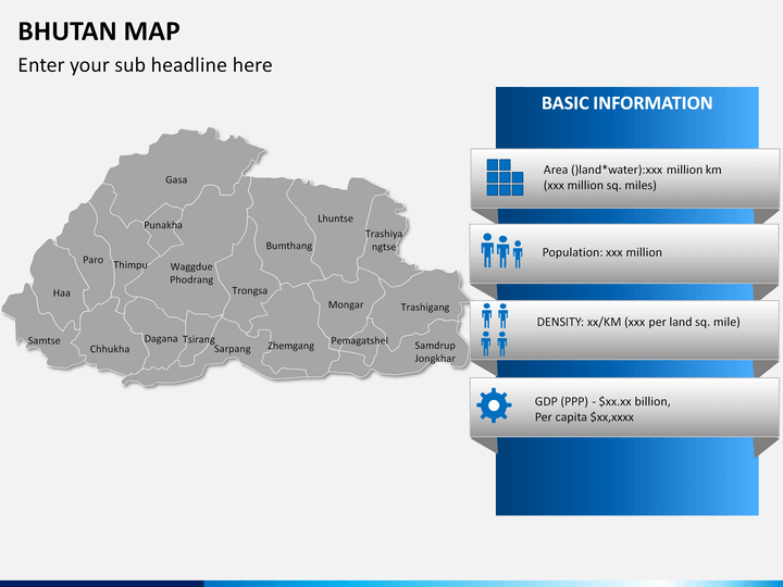
- You will also find a blank map depicting the boundaries that can be used to represent your stats and information about the country.
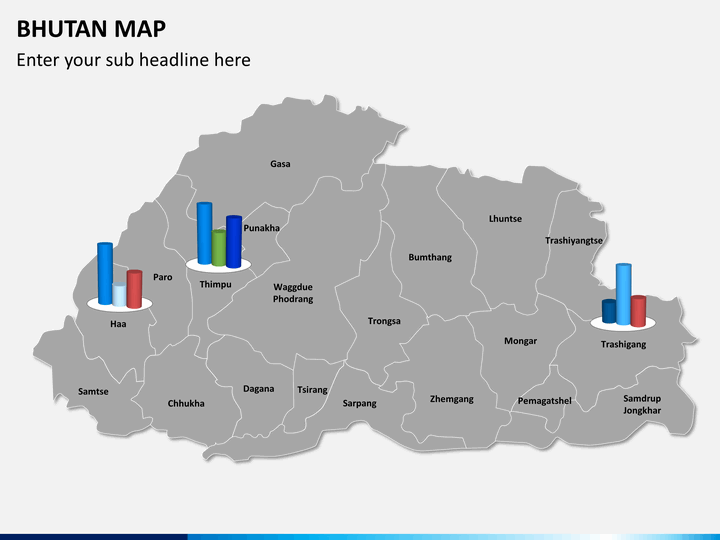
- You will also find a map where four major states of the country in different directions are highlighted with different color combinations that can be used to represent the information like GDP, population, etc. of the specific areas.
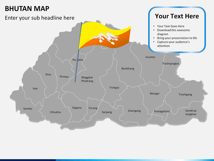
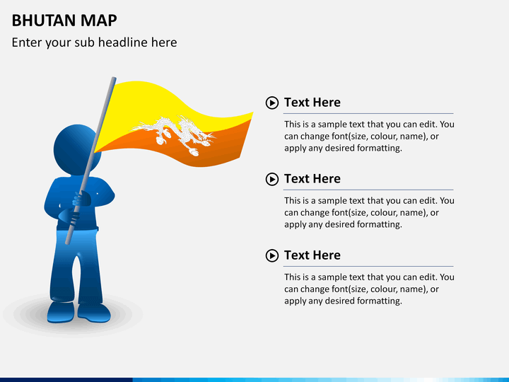
- The infographic of a man holding the flag of Bhutan can be used to display your business presence in the country.
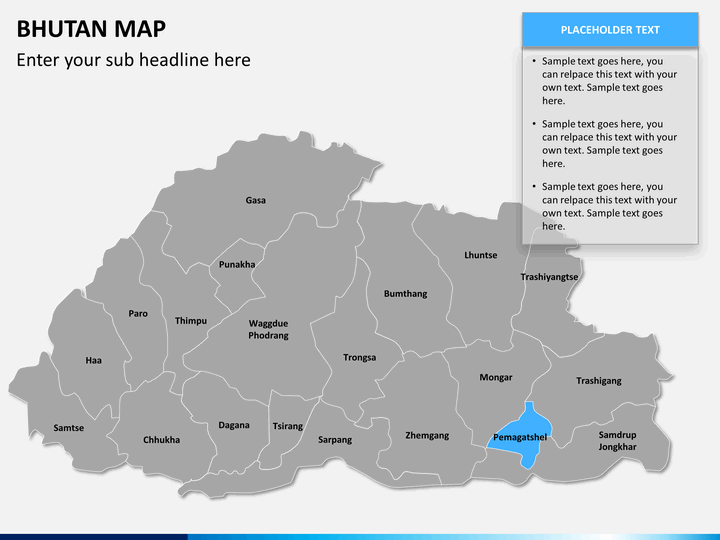
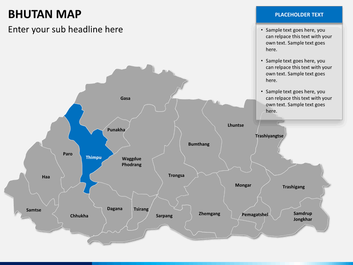
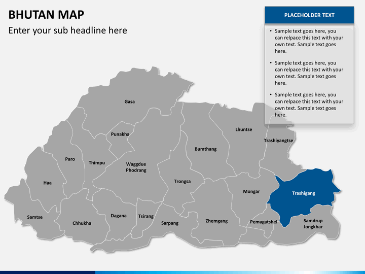
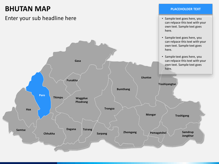
- You will also find a map highlighting major parts of the country along with text placeholders that can be used to put your relevant data and content.
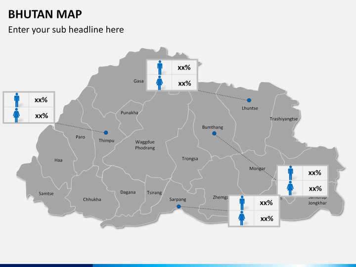
- One of the slides can be used to illustrate demographic information of different regions.
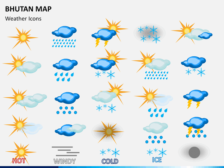
- Weather icons can be used to illustrate the weather and climatic conditions of varied areas.
Who can use it?
- One of the major features of this deck is, it is versatile; hence, it can be used by people from any field.
- Business professionals can utilize this set to depict facts, figures, and related information to internal and external stakeholders.
- Educators can use this illustration-rich PPT to educate students about several aspects like GDP, population, density, literacy rate, climatic conditions, etc.
- Travel planners can utilize these ready-made and high-resolution maps to showcase their tour plans.
So, download our template now with separate files for Microsoft PowerPoint, Apple Keynote, and Google Slides, and present like a pro!
Write Your Own Review

Related Products


