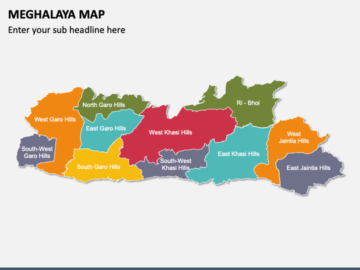
Meghalaya Map for PowerPoint and Google Slides
(6 Editable Slides)
Meghalaya Map for PowerPoint and Google Slides
Available For
Lay your hands on our Meghalaya Map template for PowerPoint and Google Slides to portray various aspects of Meghalaya, a state of India, in a visually appealing manner. Business and market analysts can use this deck to display potential business opportunities in Meghalaya. Economists can visualize the sectors driving the state’s economy. Educators can use this multipurpose set to display the state’s topography, including hills, valleys, and rivers. Cultural organizations can illustrate the distribution of various indigenous tribes across the state, facilitating a better understanding of the cultural landscape of Meghalaya. Tour operators can present popular tourist destinations, the best time to visit Meghalaya, major travel routes available, etc.
A Sneak Peek into the Slides’ Design
- Geographical maps of Meghalaya present the state’s major cities, towns, districts, and more.
- The icons of GPS and map pins, with symbols of airplanes, trains, buses, cars, and more, can be used to provide context for the different transportation and connectivity routes available in the state.
- With the visuals of clouds with rain droplets, the sun, thunderstorms, and more, you can depict the state’s weather and climatic patterns.
Features
- You can alter the deck components without technical expertise or external assistance.
- Projecting the illustrations on any screen size won’t affect the original quality.
- All attributes are designed after thorough research, leaving no room for copyright issues.
Download this PPT instantly!


