

Bangladesh Map for PowerPoint and Google Slides
Bangladesh Map for PowerPoint and Google Slides
(16 Editable Slides)


(16 Editable Slides)
Related Presentation Templates


Creating visually appealing and exact maps of different countries, states, cities, regions and areas for every next presentation is almost impossible. To make your job easier, we have come up with editable Bangladesh Map PPT. This South Asian country shares its border with India and Myanmar. It is the eighth most populous country in the world and is currently making news for its fast-paced development. The developing nation is depicting a prominent growth with Dhaka as its political as well as financial capital. Even though the country has been associated with poverty and financial stability in the past, it is gradually becoming a leading developing nation.
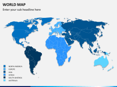
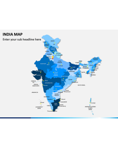
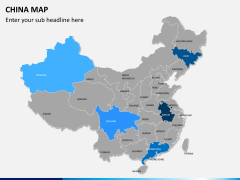
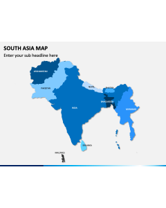
If your business is also associated with this nation, then you can use our readily available set to depict your data in an interactive manner. Additionally, if you are a researcher, then you can readily use these maps to present your information in a visually appealing manner. By taking the assistance of these professionally designed map slides, you can certainly elevate the overall aesthetic appeal of your presentation. There are different kinds of political, regional, and connectivity maps that can be used to depict almost every kind of demographic data to your audience. If you are an educator or a researcher, then you should use these maps to represent your data in an aesthetically pleasing way to your audience.
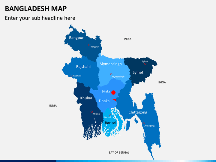
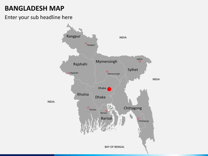
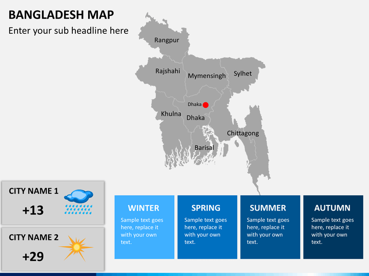
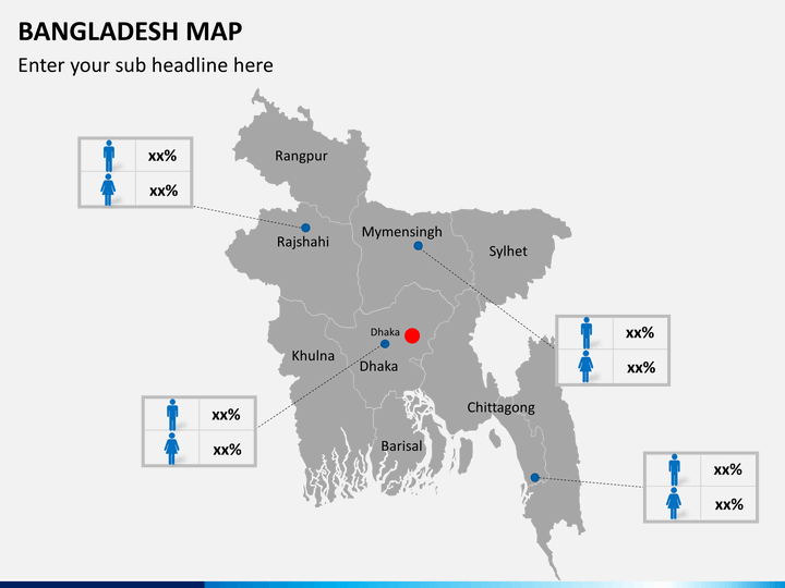
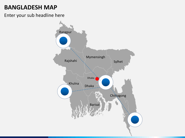
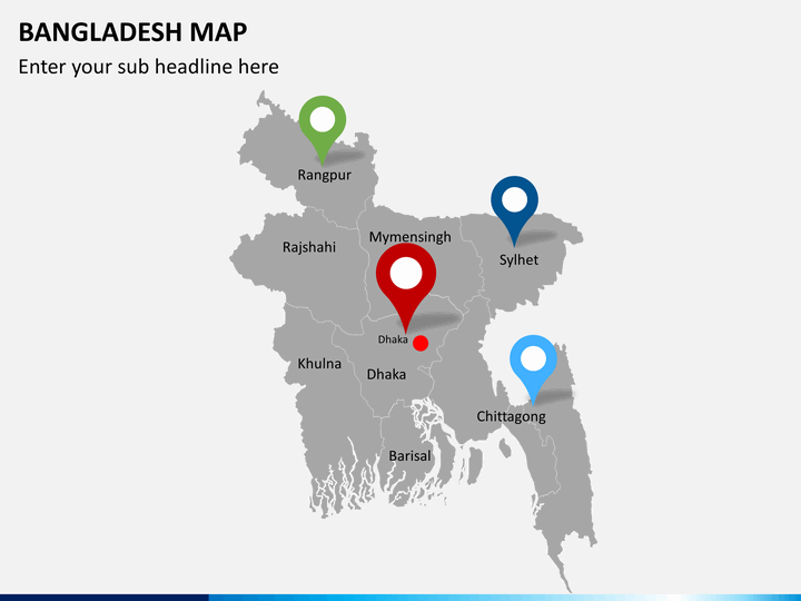
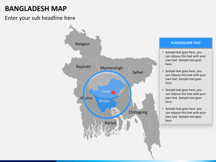
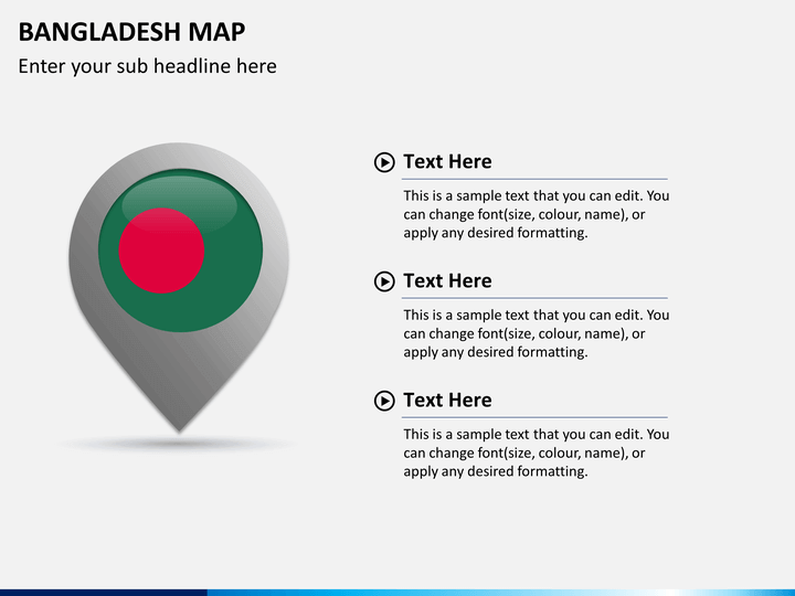
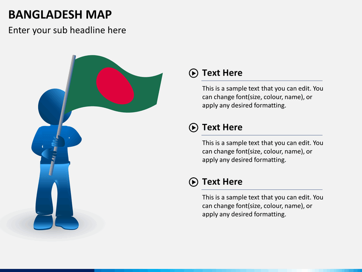
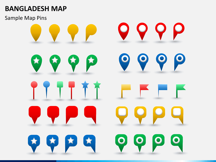
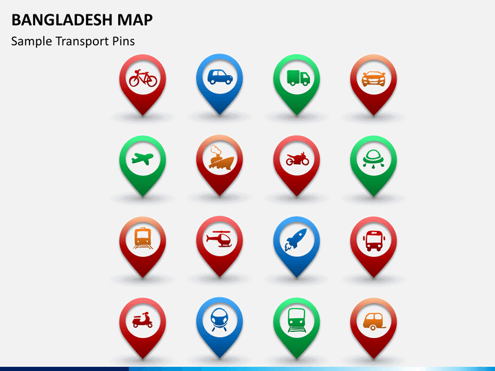
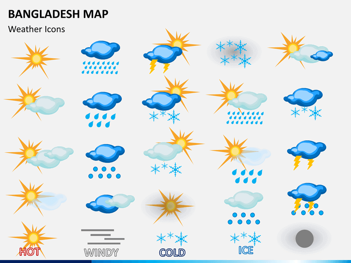
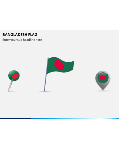
Our designers have come up with a dedicated set of Bangladesh map slides in this editable template. The diverse collection will let you provide information related to various regions and major cities of the country. Additionally, you can represent how several locations are connected to each other or simply provide a demographic data in no time. From depicting the climatic condition of a region to its economical division, there are so many things you can do with this set. You can focus on a respective region as well by clipping it out. We have also provided the country's flag, various icons, pins, and vectors separately in the set as well.
Go ahead and download this template right away. Use it as per your needs to draft a visually stunning slideshow. It is entirely editable in nature and will let you customize it without any prior knowledge of designing. Save your time while coming up with an impressive presentation having Bangladesh map.