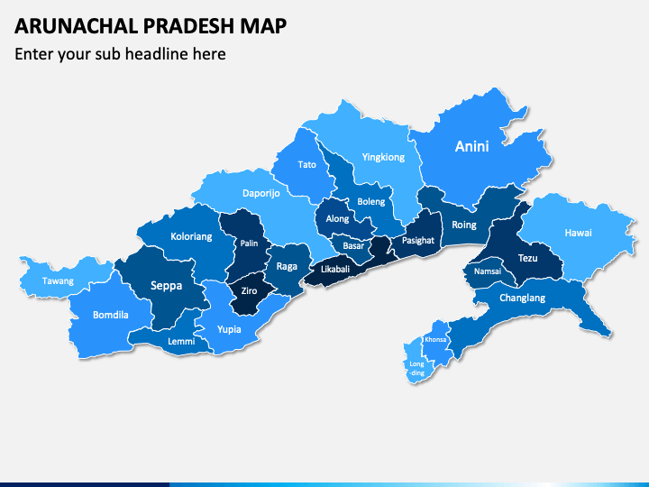
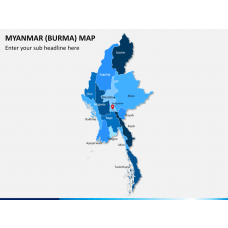
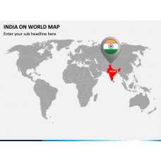
Our Arunachal Pradesh Map PPT template is a 100% editable set of professionally designed layouts comprising eye-catching maps of Arunachal Pradesh, a beautiful state in Northeast India. These easy-to-use maps have been designed with great attention to detail to ensure the accuracy of the information. Using this uniquely crafted set, now you can deliver a highly understandable, interactive, and engaging presentation without investing much time and resources.
Designed to serve the needs of different professionals, these maps can come in handy to create stunning business and academic presentations. The inclusion of vector-based graphics and icons makes these maps very appealing and impactful. So, put your trust in our brilliantly crafted designs and focus on communicating your ideas to your viewers with sheer excellence. Download this PPT without giving it a second thought!
PPT for Multiple Usages
We have included user-friendly maps in this collection, which can be effectively used to serve different purposes, such as:
- Business development managers, marketing heads, and entrepreneurs can leverage these maps to highlight the regions in the state where they wish to invest and expand their business operations, run the marketing campaigns, the potential for sales, etc.
- Educators can highlight and illustrate provincial boundaries, the vegetation of the state, and other aspects of the culture and region to the students using these maps.
- Geographers and researchers can use this set to present significant landforms, geographical overview, demographics, socio-economic statistics, research related to the region, and much more.
- Travelers can use this deck to share their travel plans and itineraries and explain the best time to visit, famous tourist spots, popular aspects about the place, etc.
Striking Features of the Deck
- We have included elements like map pins, GPS markers, flags, and weather icons to make it effortless for you to highlight specific regions and depict information related to their weather conditions, demographics, tourism, and much more.
- One of the slides in this exclusive collection presents clearly demarcated boundaries in the state's political map, which travelers can use to showcase different travel routes and modes of transportation across the region.
- You can add your text in the text placeholders without any hassle to supplement your visual data.
- We render incessant customer support for quick resolution of your issues and queries.
- You can conveniently present these maps on a large screen without the loss of optical resolution and quality.
This PowerPoint template lets you present a vast amount of data engagingly to the viewers. So, download it now!


