Europe Map Template for PowerPoint and Google Slides
(15 Editable Slides)
Europe Map Template for PowerPoint and Google Slides
Available For
Attain a diverse approach to your business by keeping the geographic location of your prospective clients in mind. If you cater your services and products to the European market, then our Europe Map PowerPoint template will come handy to you on various occasions. From presenting well-researched data to simply depicting visual information, you would be able to do so much more with this one in no time.
Europe has always been a cultural and technological hub for decades. It is the home of some of the most powerful and influential economies in the world like France, Germany, Spain, Italy, and more. The collection of these editable PPT slides has a universal usage and can be used by professionals belonging to various industries. From international marketing firms to software companies, almost everyone can use these readily available graphics and save their time and resources. In each of these cases you will need to plot the Europe map on your visual slides for better exposition of the information that you want to communicate or the message that you want to convey.
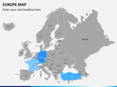
You can also represent your data according to a specific country or region. Depict the western, eastern, or Scandinavian countries distinctively without any trouble. Additionally, you can simply highlight any desired area in the map, letting your audience focus on it.
Professionals belonging to healthcare, education, research, Information Technology, service agency, sales, marketing, manufacturing, and more can be benefited by this highly comprehensive set. It doesn't matter if you are a startup owner or a consultant, an executive or a manager - you can use this set to elevate the overall aesthetic appeal of your presentation without any hassle.
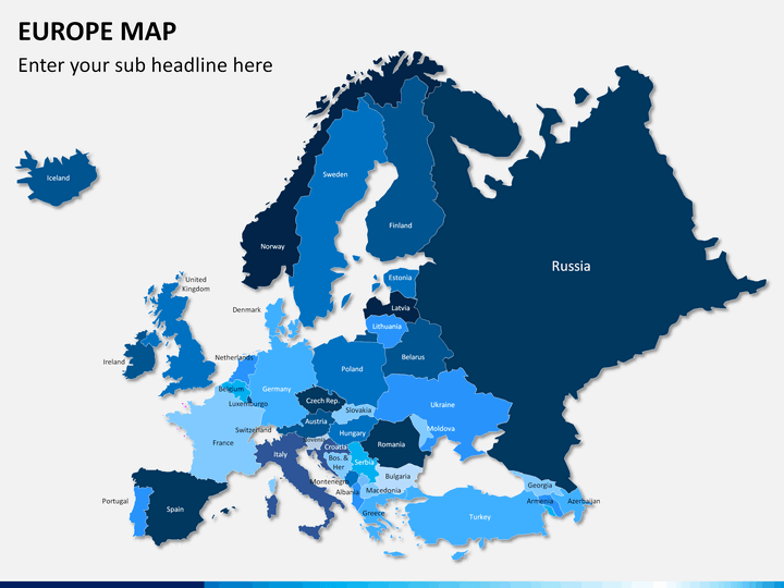
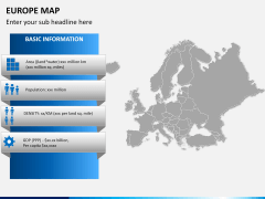
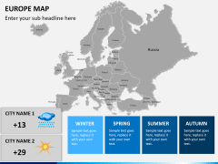
You will find an elaborate representation of Europe on the basis of different characteristics. Depicting distance, country details, expansion plans, client base, sales territories, and more have never been so easy. To help you step it up a little, we have provided an advanced view of all the major countries. It consists of dedicated slides depicting the political map, physical landscape, major countries, metropolitan, communication network, etc. Just zoom in any region and depict your plans regarding it with a single click. Markup any country and represent details regarding its major cities and other geographic plans easily. Now, you can certainly represent your information in a productive way with the help of this remarkable set.
Take the assistance of this visual aid and save your time and resources at the same time. Since the template set is entirely editable, you can add, remove, update, and perform different tasks without any trouble. With the help of these high-definition and vector-based graphics, you would certainly be able to change the face of your next presentation. Give your audience something to remember and draft a professional presentation with the help of this comprehensive Europe map set.

