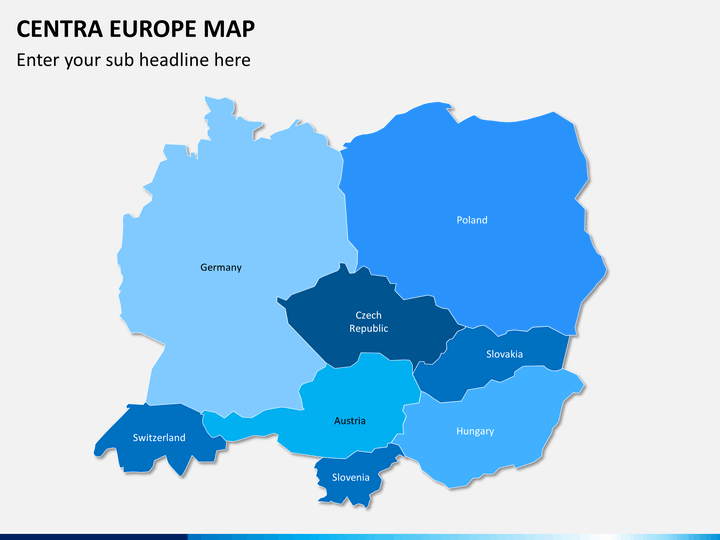
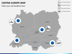
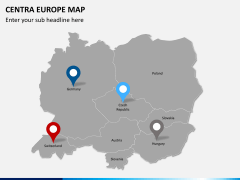
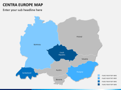
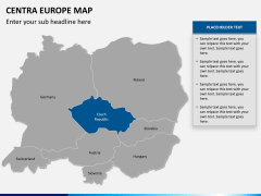
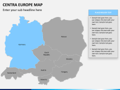
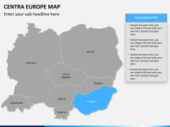
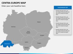
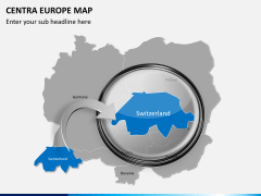
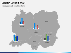
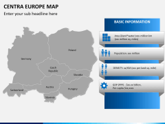
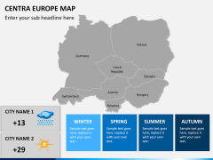
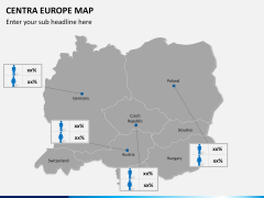
Our Central Europe Map PowerPoint template highlights the countries of the region in a topographical manner. If your theme of presentation is Central Europe, or is either based upon it, then you would surely like to use this template.
The template set consists of 12 fully editable PPT slides, with all of them carrying a map of all the 8 countries which collectively represent Central Europe. Either you plan to discuss about this region as a whole, or you want to elaborate data specific to a country, you have graphics for them all. The countries in the maps have been pre-designed in different formats, you can edit the colors to represent facts of characteristics.
Text boxes and other icons have been provided on relevant places in the slides to help you craft an effective presentation. All the elements in these slides are re-sizable and editable so you won't have to put in much effort in editing the slides according to your needs. You can talk about travel destinations in these countries or tours through them highlighting the places of interest. This being only one possible use of the template.
About
The mid of Europe where 8 countries are situated is collectively called as Central Europe. These countries are Germany, Poland, Czech Republic, Slovakia, Slovenia, Hungary, Austria and Switzerland. All these nations stand amongst the developed and prosperous nations of this world. All these countries have a very high Human Development Index, these countries also house some of the most incredible tourist destinations as well as historical heritage of the world. All these countries have a 99% literacy rate which are amongst the highest in the world. This region is no doubt the center of tourist and cultural activity in Europe as well as it carries geological and economical importance to the region.

