


Similar Products
- Sale

- Sale
- Sale


If you wish to educate your audience about this Baltic nation, then you have come to the right place. With this readily available and professionally drafted set of Latvia PowerPoint maps, you can easily draft an informative presentation in less time. We have got a wide range of detailed and 100% editable Latvia Maps that will certainly meet every requirement of yours.
About
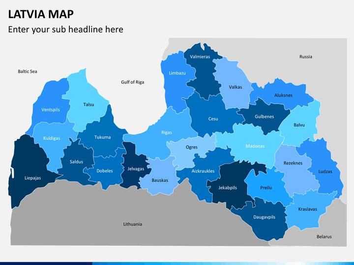
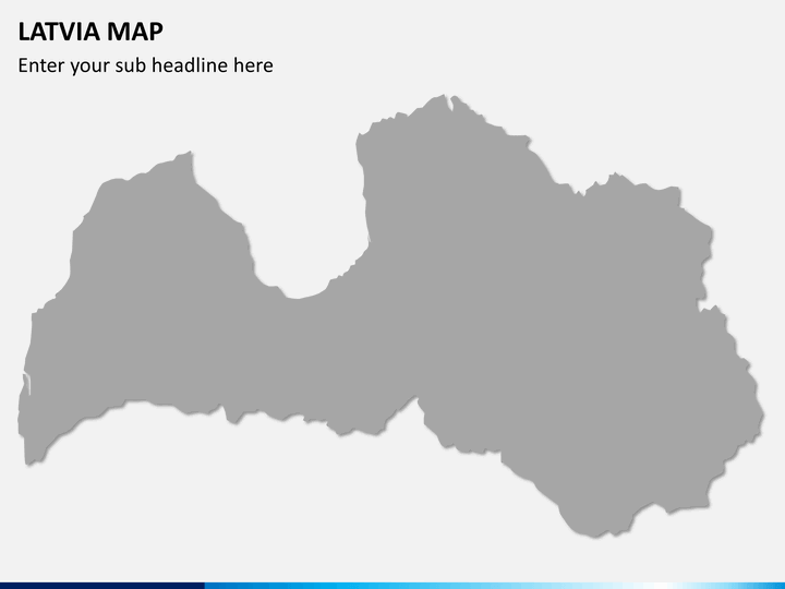
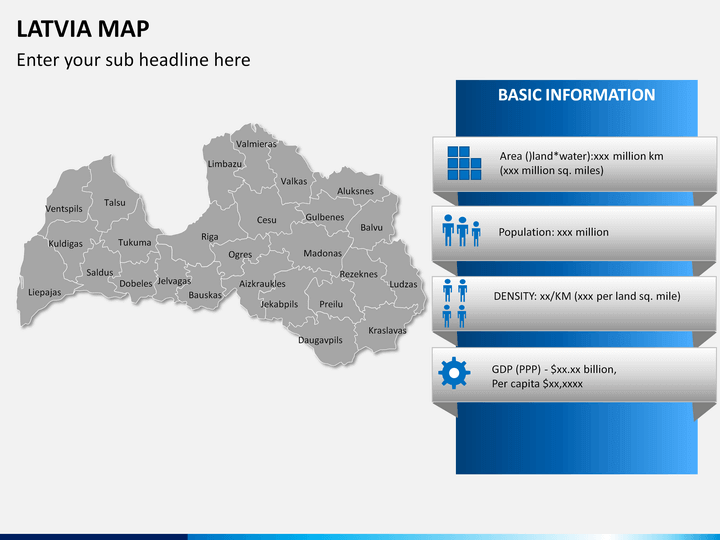
This European nation has a rich history and a diverse culture. It has a crucial presence in the Baltic region and is neighbored by countries like Russia, Belarus, Estonia, Sweden, and other European countries. It has a population of almost 1.9 million over a small area of just 64-thousand-kilometer square. Over the course of time, it has been occupied by the Roman Empire, Sweden, Germany and the Soviet Union before getting its independence in 1991.
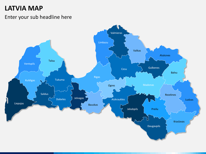
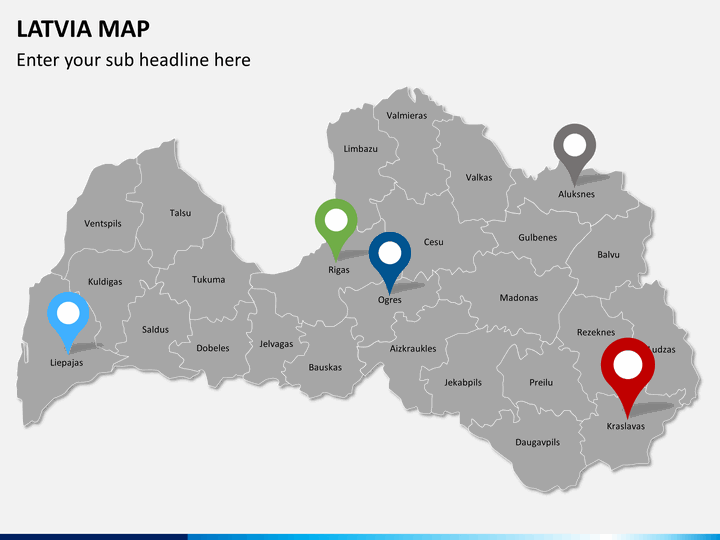
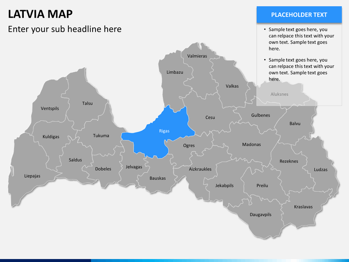
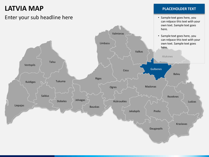
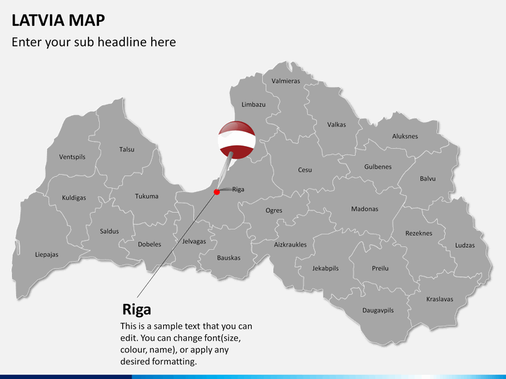
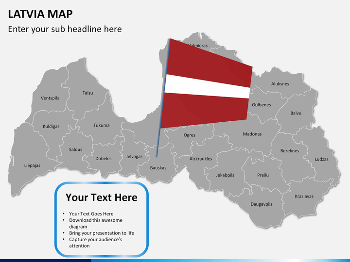
Today, it is known for its advanced liberal views and a high HDI. Latvia plays a crucial role in WTO, IMF, the European Union, and NATO. It is divided into 119 divisions (110 municipality zones and 9 cities). Riga is both the capital as well as the largest city of Latvia. It was also the European Capital of Culture in 2014.
Major features
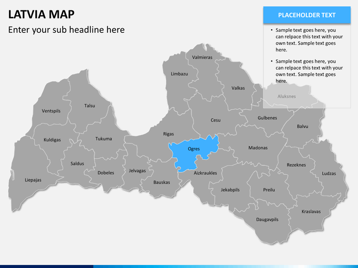
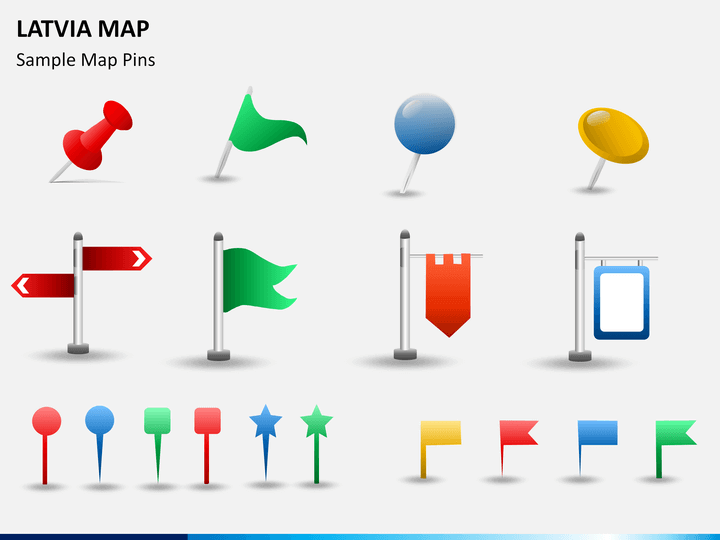
- This is a highly extensive set of various styles of Latvia maps. These maps have also covered the division of the country into different zones so that you can easily explain its geography.
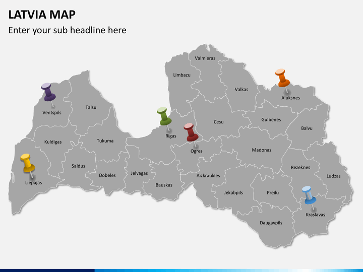
- With these maps, you can also focus on any region. All you need to do is zoom it.
- Our designers have drafted these maps while keeping your overall needs in mind. You can readily share your information about this country in an interesting manner by readily using these maps.
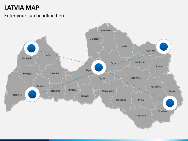
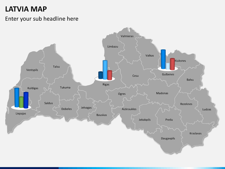
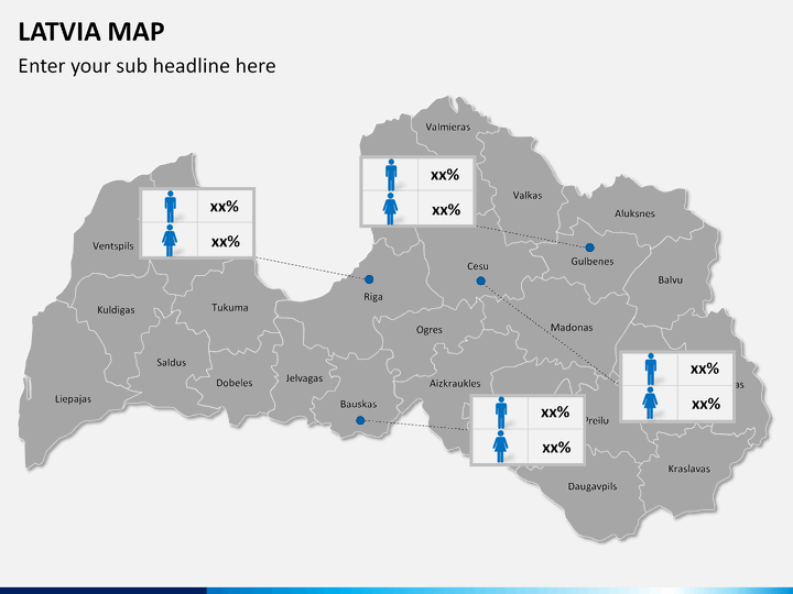
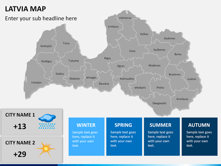
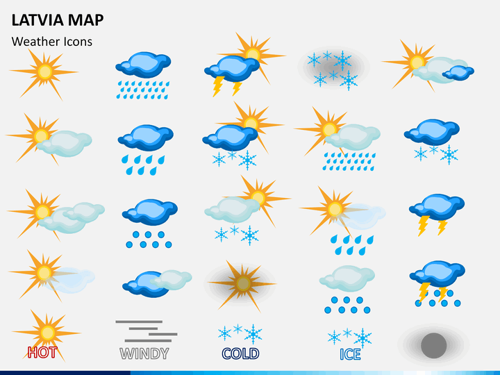
- There are dedicated maps to explain the division of the country, how various regions are connected, the major landmarks, and more. You can depict information about its demography, weather, connectivity, and so on.
- If you are an educator or a researcher, then you can simply use these maps and provide all kinds of data related to this country.
- Professionals who deal with firms related to this region or would like to target their customers in the Baltic region should certainly download this set.
Not just PowerPoint, you can use these high-quality maps with Google Slides and Apple Keynote as well. All these maps are vector-based and can be edited entirely without any trouble. Furthermore, the set comes with a full customer support so that you can make the most of it in no time.
Write Your Own Review

Related Products


