
Mongolia Map for PowerPoint and Google Slides
(17 Editable Slides)


Mongolia Map for PowerPoint and Google Slides

SB765
Available For


Similar Products
- Sale

- Sale
- Sale


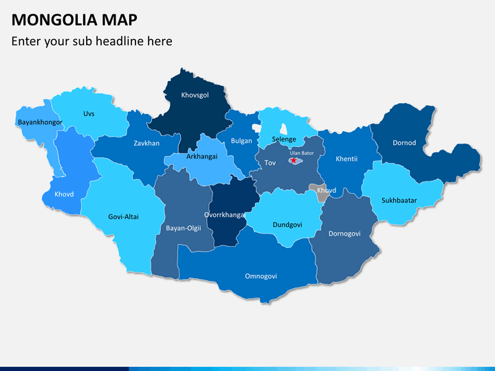
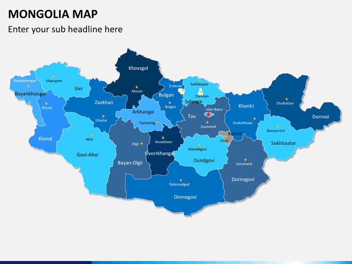
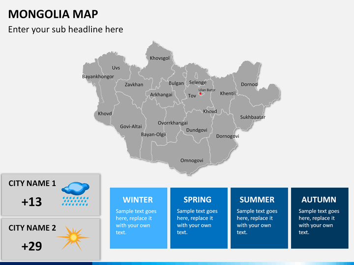
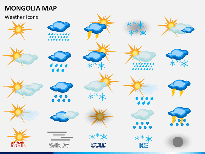
Mongolia is a landlocked country in East Asia bordered by China and Russia. Illustrate the geographical, climatic, demographic, and other information of this Asian country in an engaging manner to the audience using the entirely editable Mongolia Map PowerPoint template. The user-friendly maps depict all the cities, localities, subdivisions, and landforms of the country beautifully.
A wide array of professionals, including geologists and geographers, can incorporate these easy-to-use maps in their presentations. The professionally-designed slides are powered with high-definition graphics. The deck is available with separate files for Microsoft PowerPoint, Apple Keynote, and Google Slides. So, download it today!
Myriad of Usages
The PPT is multipurpose. With its help, you can create slideshows for business and educational purposes without any hassle.
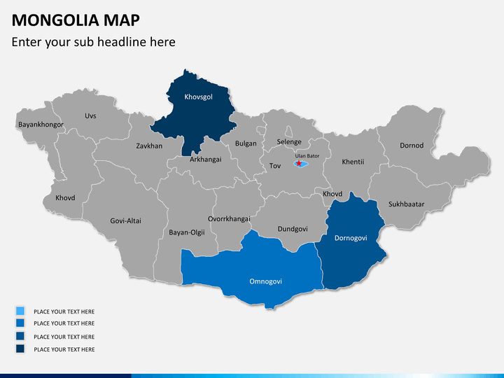
- Business development managers and senior executives can display strategic locations for business ventures, new investment opportunities, business environment, and challenges in the country.
- Sales and marketing heads can have a brainstorming session with the teams to discuss business aspects such as its market share, targeted consumer markets, current and planned marketing campaigns, competitor analysis, and challenges to penetrate new markets in the country.
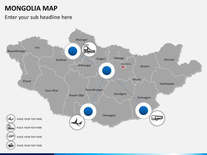
- Travelers can share travel-related information such as tour plans, the best time to visit, popular destinations, travel routes, different means of transportation, famous food, etc
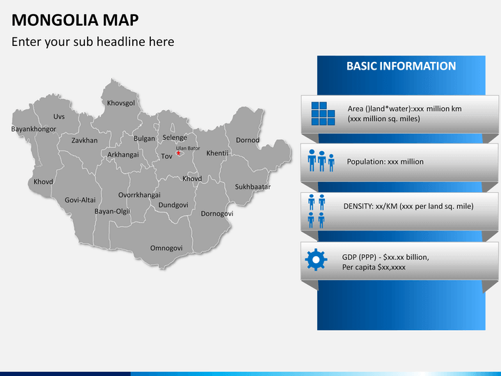
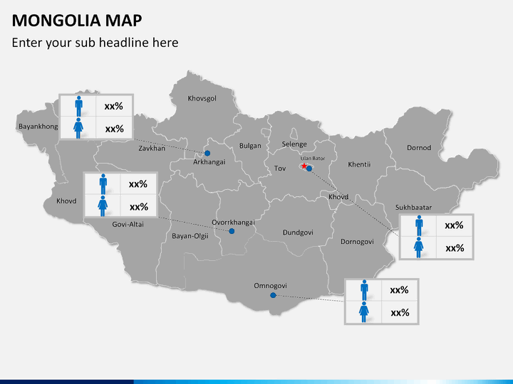
- Geographers can provide a geographical overview of this country, socio-economic statistics, local surveys, and the demographics of the region.
- Educators can use this deck to accurately illustrate provincial boundaries, the national and provincial capital, international borders, etc. to the students.
Significant Highlights of the Slides
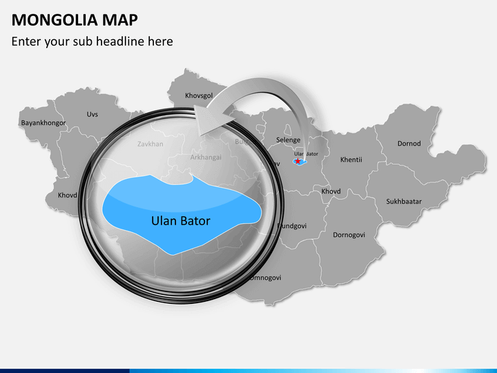
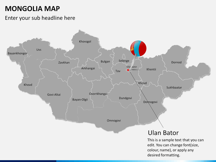
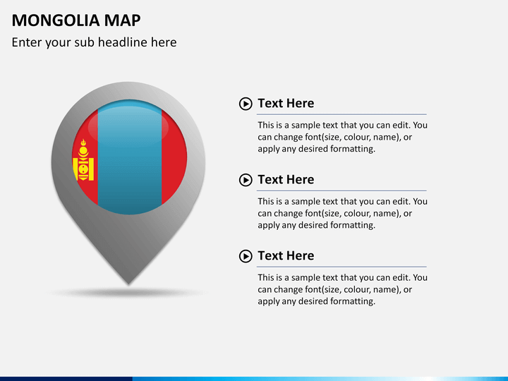
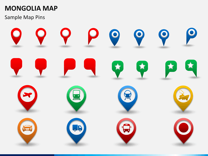
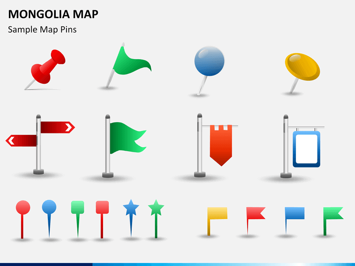
- Map pins, GPS markers, and flags make your presentations more understandable for the viewers. For instance, if you want to locate any specific landform or region in Mongolia, you can change its color and place a map pin to highlight it.
- The maps are customizable and can be used in your presentations for demonstration in webinars or live conferences to the online audience.
- One of the slides showcases a man with the Mongolia flag, which can be used to showcase your business presence in the country.
- Mongolia's political map can be used to demonstrate and discuss a vast range of statistics, surveys, and issues of national importance.
Easy-to-Edit and Use
You can easily change the color of any city on the map to accentuate it. The quality and resolution will not get hampered even if you present on large screens. Once downloaded, you can use it whenever you want, without any need to download it again. So, download this Mongolia Map PPT right away and get ready to deliver your best!
Write Your Own Review

Related Products


