


Similar Products
- Sale

- Sale
- Sale


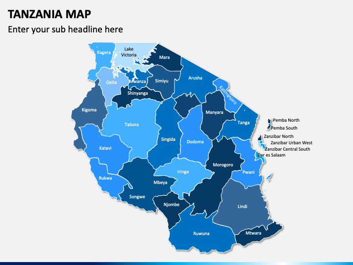
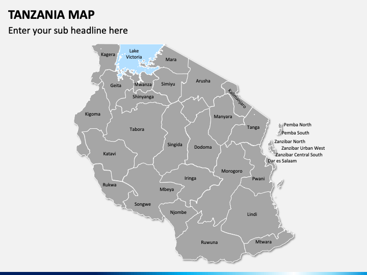
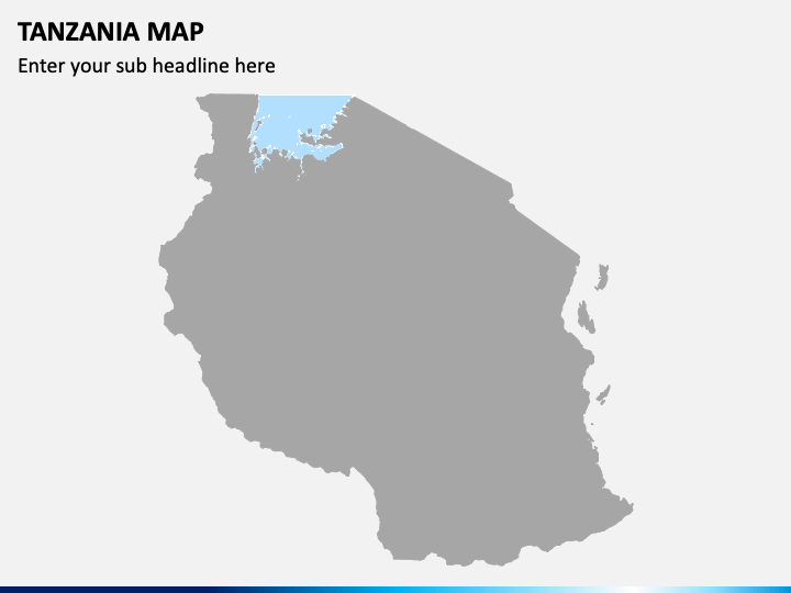
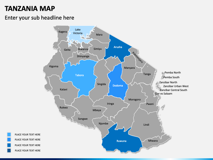
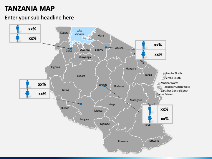
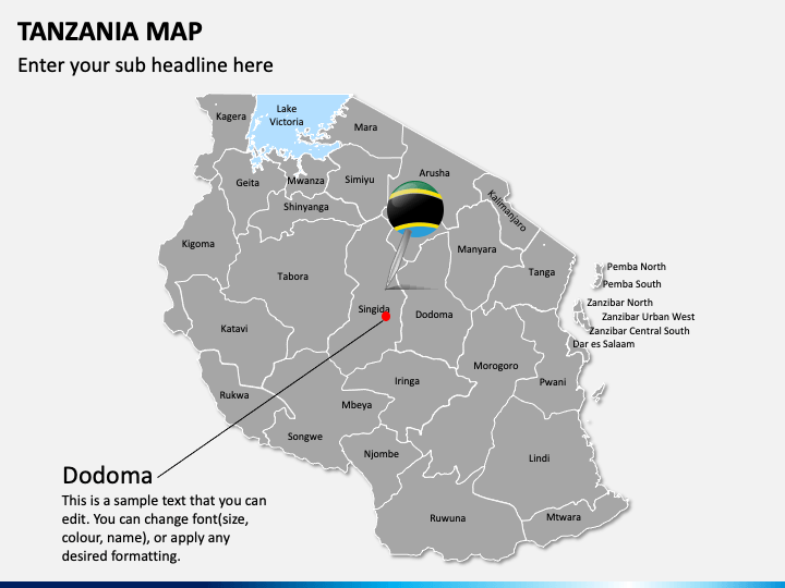
Tanzania Map PowerPoint template is the best pick to illustrate vital information about your business in this East African country. Using it, you can showcase the areas with your business presence, active marketing campaigns in different cities, and much more. You can also depict the population, density, GDP, etc. of a specific city of the country with the help of these maps. The deck is useful for business development managers, marketing executives, sales managers, startup owners, travelers, meteorologists, educators, and many other professionals.
These pre-made and entirely editable maps will save you effort and time. With a little editing and modification, you are ready with the most exciting illustrations to explain your points easily and effectively. The slides containing these maps are available to download with separate files for Microsoft PowerPoint, Apple Keynote, and Google Slides.
Perfect for Every Type of Presentations
The beautiful maps in the deck can be used to add more meaning to your business, marketing, and academic presentations.
- Business presence in the entire country or particular state can be depicted through the slide depicting a man holding the flag of Tanzania.
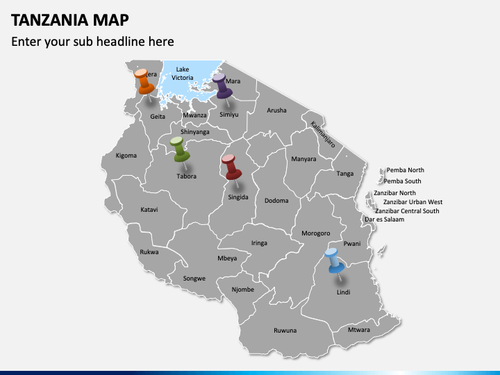
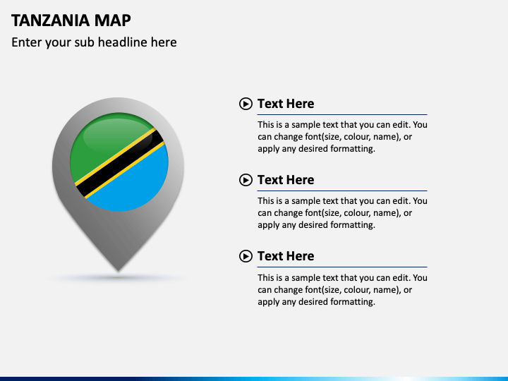
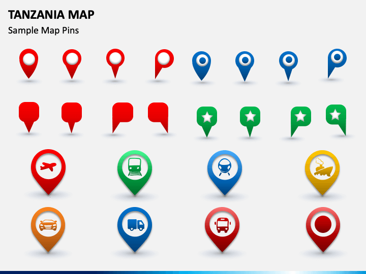
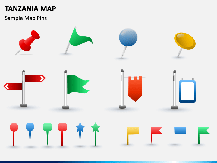
- The location of the head office of the company can be portrayed on the map using the icons on map pins or GPS trackers.
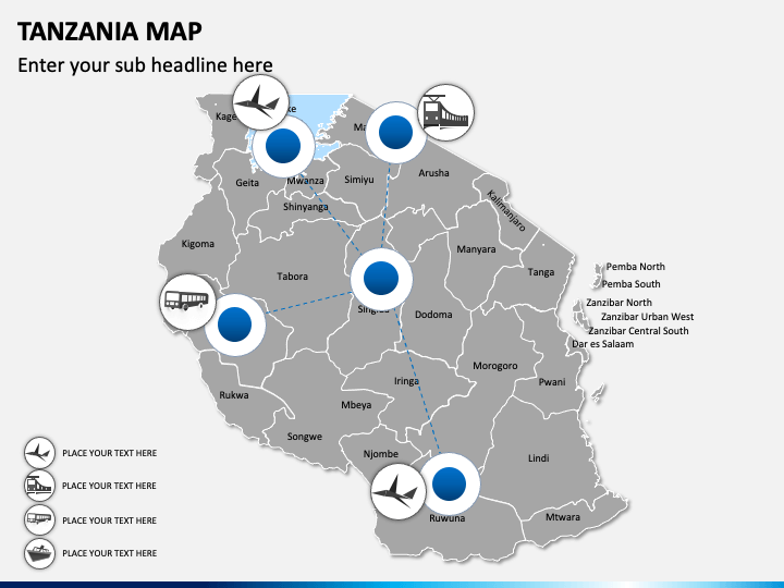
- Customer base, revenue generation, and sales from different regions can be represented by zooming those particular areas on the map.
- This set can also be used to depict the climatic (be it hot, cold, windy, rain, etc.) condition of a specific area.
- Educators can leverage these user-friendly maps to illustrate and explain significant information about the state, such as geographical details, demographics, vegetation, culture, etc.
- Travelers can leverage this PPT to communicate their travel plans. They can easily highlight the famous tourist attractions on the map.
Features
- You can copy any map from the set and paste it into any of your presentations.
- You can also enlarge or minimize the size of the map as per your needs, without worrying about the resolution.
- The text placeholders allow you to insert your own text in the desired format.
Download our professionally built Tanzania Map PPT right away to convey your message effectively!
Write Your Own Review

Related Products


