
Democratic Republic of Congo Map for PowerPoint and Google Slides
(7 Editable Slides)

Democratic Republic of Congo Map for PowerPoint and Google Slides

SB2735
Available For


Similar Products
- Sale

- Sale
- Sale
- Sale
-
- Sale


Our well-designed Democratic Republic of Congo Map PPT template is the top pick for startup owners to present the sales by region, frequent customers in terms of age, gender, preferences, and more. Business development managers can showcase the strategies for business expansion and revenue generation in a specific region. This exquisite set can also be used to depict the country's geographical boundaries. Educators can leverage the feature-rich deck to illustrate the country’s ethnic, cultural, and natural diversity. You can also use these PowerPoint slides to provide information on various aspects of the country in an exciting and informative way.
Slides Enriched with Quality Visuals
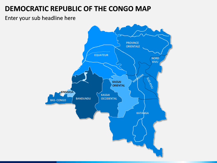
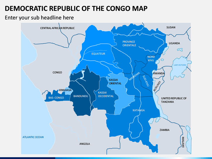
- Using the geographical maps of Congo, you can showcase the cities, towns, districts, sub-districts, and other neighboring states and countries.
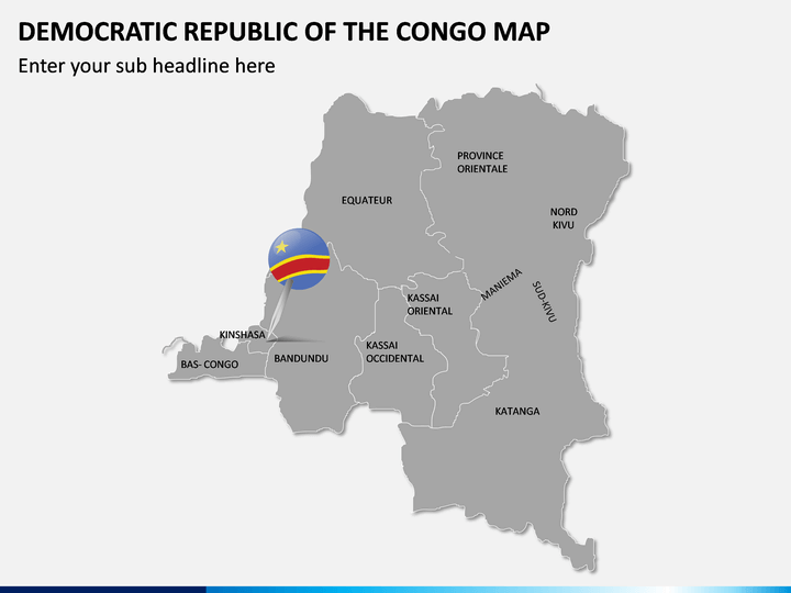
- You can portray the capital city and the nearby regions of the country through a well-designed map illustration.
- A map diagram adjoining a few textual boxes exhibits the country's population, sex ratio, GDP, and other details.
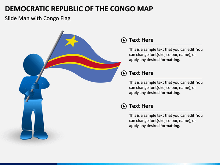
- A slide man with the Congo flag can be used to highlight other specific details of the country like significant attractions, tourism, history, etc.
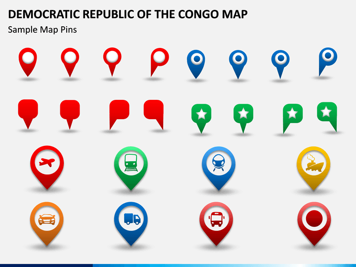
- Using the icons of GPS pins with symbols of trains, cars, trucks, ships, etc., you can describe the country's connectivity via different transportation mediums.
Features
- Entirely editable
- High-definition illustrations
- No space for copyright issues
- Round-the-clock customer support
Download, edit, and present!
Write Your Own Review

Related Products


