


Similar Products
- Sale

- Sale
- Sale
- Sale
- Sale
- Sale


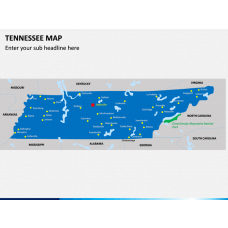


Impress your audience with the best visuals using this Connecticut Map PowerPoint template. Use either of these maps with your preferred application and be ready to draft impressive slideshows.
About Connecticut
Situated in the New England region of the US, the state is named after the Connecticut River that dissects it. The state is surrounded by New York, Long Island, Rhode Island, and Massachusetts. Although it is the third smallest state in the US, it is the fourth-most densely populated one. The state has been associated with the Civil War, developed industries, infrastructure, healthcare, and its rich heritage due to its close proximity to New York City. It is the home of more than 3 million people with Hartford as its capital and Bridgeport as its largest city.
Major Features
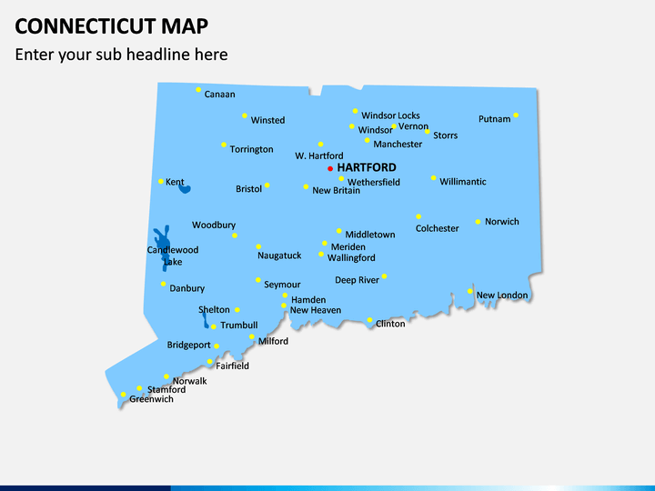
- This is a well-researched, and highly diverse set of Connecticut Map PPT slides that you can use in different ways.
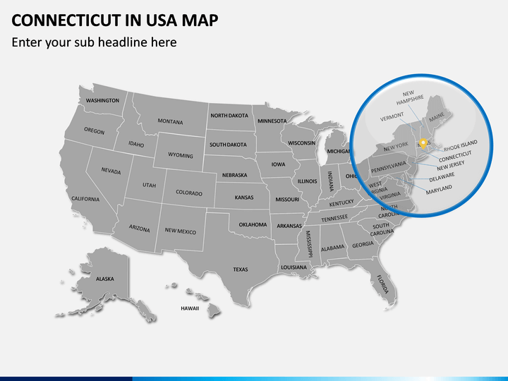
- There are all kinds of maps about the geographical and political distribution of the state. You can also use these maps to depict the location of the state in the country.
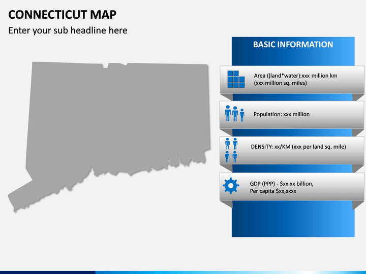
- Furthermore, you can focus on any region of the state by zooming its part. There are also dedicated slides to help you depict the demographic detail of the state.
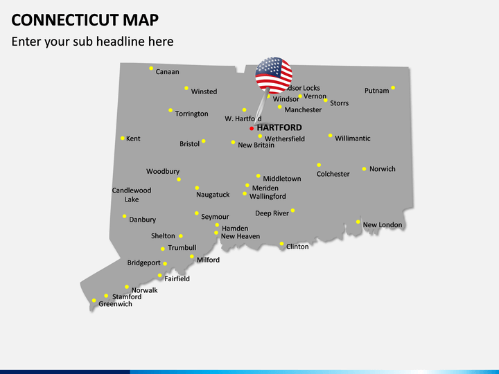
- Since all these maps are based on vectors, you can edit them pretty easily without any third-party tool.
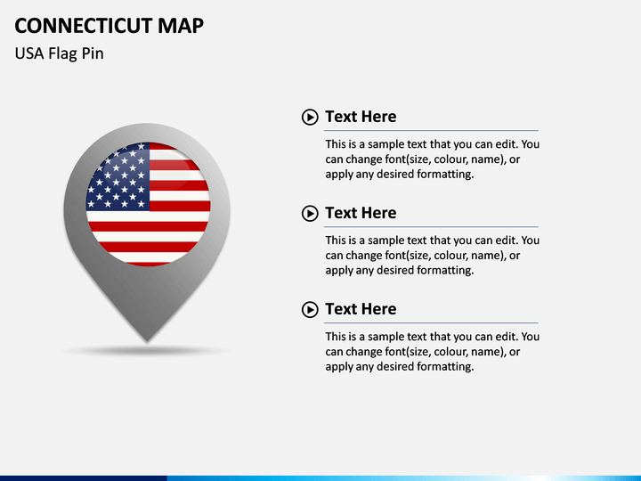
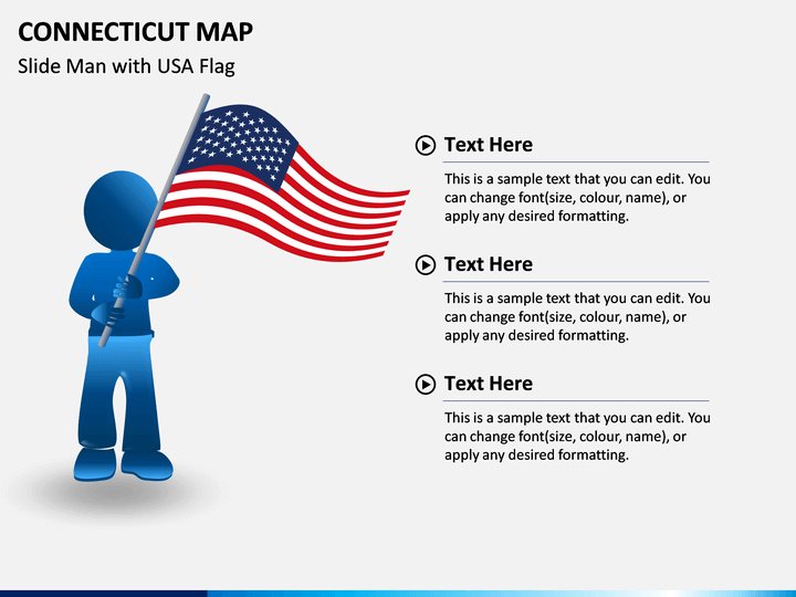
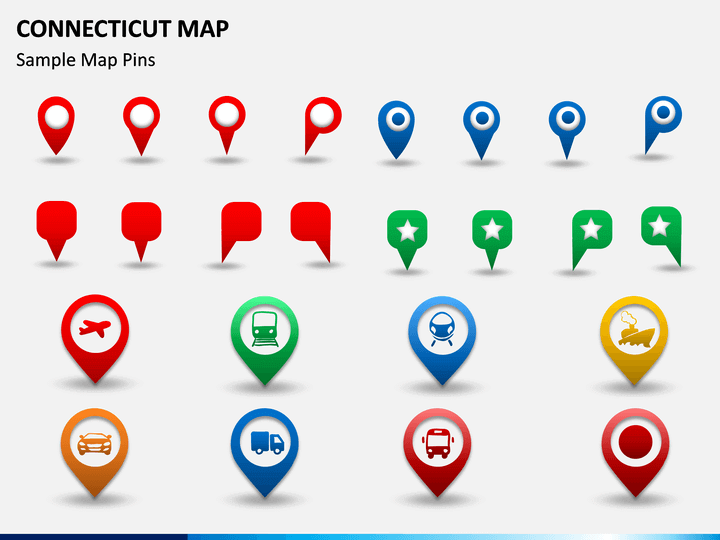
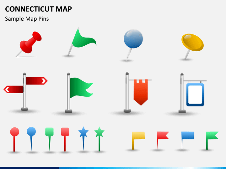
- To help you customize your slideshows, we have included various pins, flags, and other vectors in the set as well.
Who can use it?
These maps will certainly help you depict any piece of information about Connecticut pretty easily. You can also explain your audience about your business or marketing plan about the state. If you wish to expand your product's reach or just provide a visual representation of your research, then this would be an ideal set for you.
How to use it?
Once you have downloaded the template, you can pick any slide or vector from it and use it with leading presentation tools. Presently, you can use it with Microsoft PowerPoint, Apple Keynote, and Google Slides. You can later make the needed edits on the slides using their native interface. In this way, you can come up with a customized slideshow and that too, without putting any effort.
Write Your Own Review

Related Products


