

Tennessee Map for PowerPoint and Google Slides
Tennessee Map for PowerPoint and Google Slides
(9 Editable Slides)


(9 Editable Slides)
Related Presentation Templates
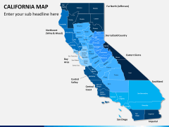
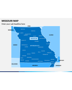


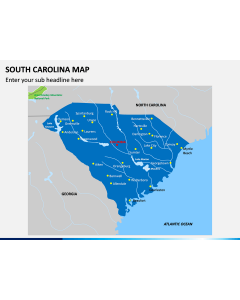
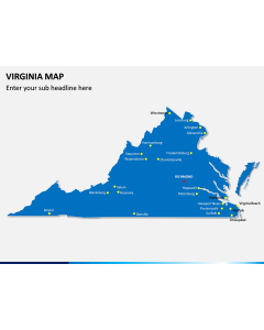
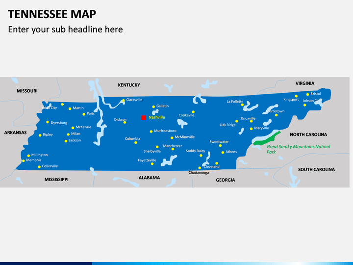
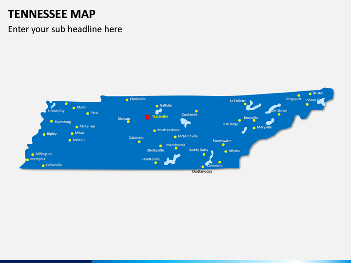
The Tennessee Map PowerPoint template is a unique collection of entirely editable actual maps that have been designed quite professionally to let the presenter depict the information related to this American state in a crystal clear manner. Moreover, you can showcase any particular region of the state to the audience, using the set.
The maps provided in the slides are user-friendly and easy-to-understand. You can use any of them in your existing presentation. We have made the set for major presentation platforms like Microsoft PowerPoint, Google Slides, and Apple Keynote, with separate files for each. So, without making any delay, download the PPT right away.
Outstanding Features of the Maps
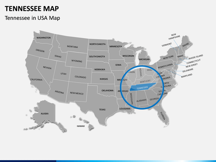
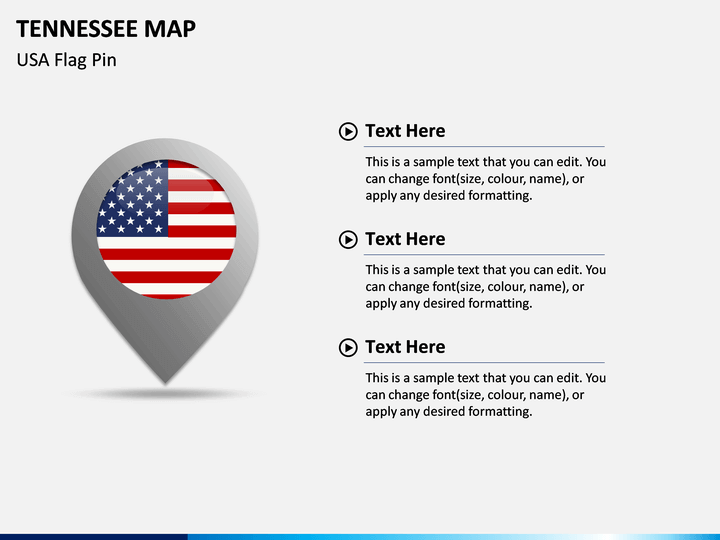
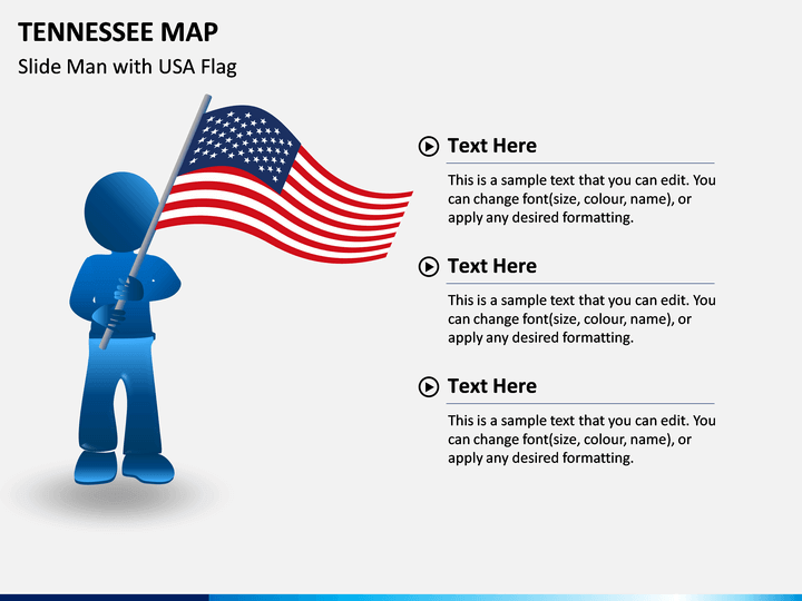
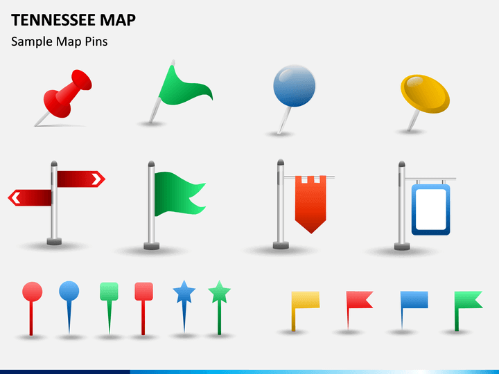
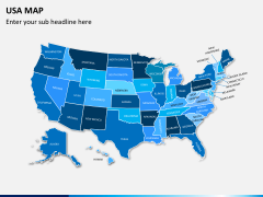
Our designers have depicted every possible detail in the maps. With the help of the PPT, you can showcase the exact location of Tennessee in the USA. All the major towns and cities, inter-state boundaries, and the neighboring states are also shown clearly. The geographical and administrative aspects are also marked distinguishably. Some of the slides in the template come with the USA map, flag icons, and map pins.
You can resize, scale, and recolor the maps and add text in the desired format to the text placeholders. The HD and vector-based graphics make your presentation impeccable and striking. So, download the deck immediately.
Serve your Purpose Well
The Tennessee Map PPT can be used by business professionals, educators, travelers, etc. for presenting varied information in an eye-catching manner.
- Business development executives, marketing and sales managers, business analysts, and senior officials can download the set to depict the location of various business units, branch offices, revenue generation from different areas, new potential growth areas, market share, and many other important details.
- Educators can give explanation about the state like landforms, population, density, sex ratio, literacy rate, different urban areas, proficiency rate, GDP, climatic conditions, and several other information in an engaging way.
- Travelers can utilize the maps to share their travel plans.
Download the template instantly to make your slideshows more captivating!