

Bahamas Map for PowerPoint and Google Slides
Bahamas Map for PowerPoint and Google Slides
(17 Editable Slides)


(17 Editable Slides)
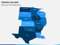
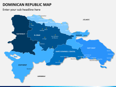
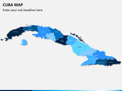
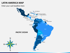
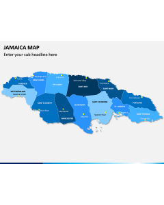
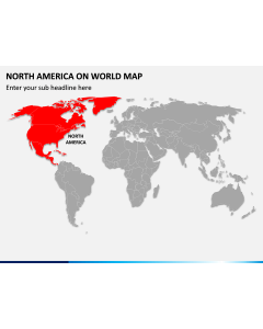
Related Presentation Templates
The Bahamas, also known as the Commonwealth of the Bahamas, is a Caribbean country with no land boundaries; however, it encompasses around 700 beautiful islands. Use our professionally-designed Bahamas Map PowerPoint template to illustrate more information about your business in this country to your employees, clients, vendors, investors, and other stakeholders.
This editable set is perfect for business, marketing and educational presentations. If you want to throw light on any specific island of the Bahamas, you can change its color and place a map pin to highlight it. To make your work a bit easier, we have kept separate files for different presentation platforms like Microsoft PowerPoint, Google Slides, and Apple Keynote. So, download this feature-rich PPT instantly!
Designed to Suit Your Purpose
Considering the requirements of people from various fields - education, business, or travel, our designing team has crafted this deck quite professionally.
- Professionals like business analysts, marketing and sales managers, and other senior executives can download the deck to explain the location of various business units, branch offices, revenue generation from different areas, new potential growth areas, market share, etc.
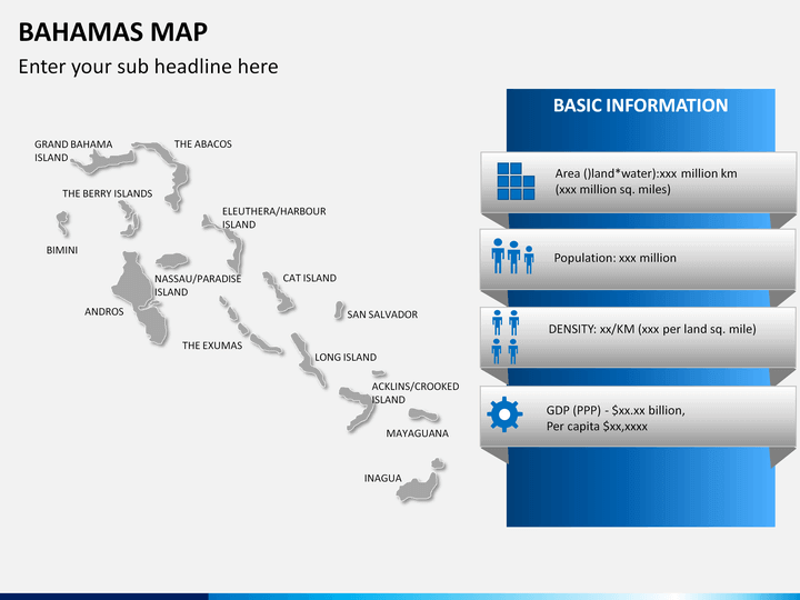
- Educators can educate the students about the geographical, political, and economic conditions of the state like its landforms, population, density, sex ratio, literacy rate, different urban areas, proficiency rate, GDP, climatic conditions, etc. in an engaging way.
- Travelers can showcase weekend travel plans or vacation plans. They can share and show what’s famous about the place, the best time to visit, the easiest route, and other essential information.
Designed to Hold Everyone’s Attention
The Bahamas Map PPT we’re offering here features multiple slides with different map slides of this nation that have been designed carefully using HD and vector-based graphics to let you deliver an effective slideshow. The maps are entirely customizable. You can change the background color, add text in the text placeholders, and make other edits without any external support or editing experience.
Some of the significant features of the deck are:
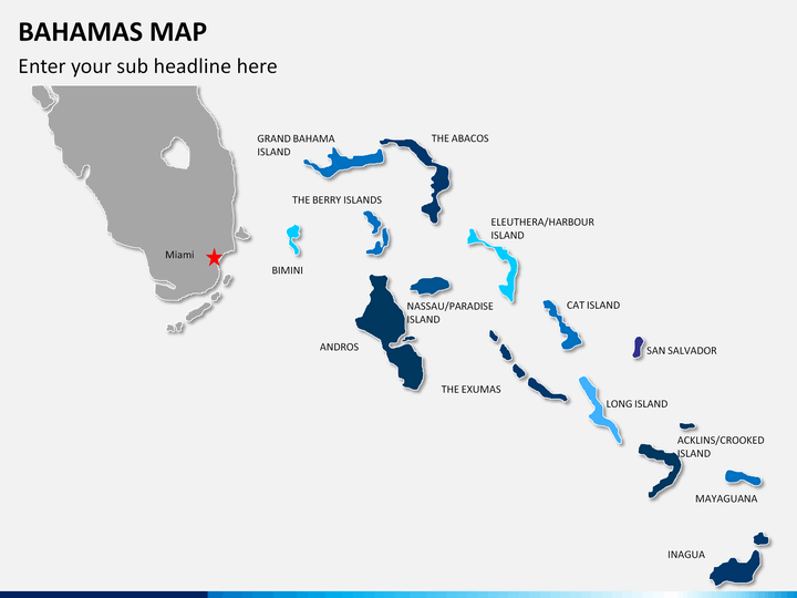
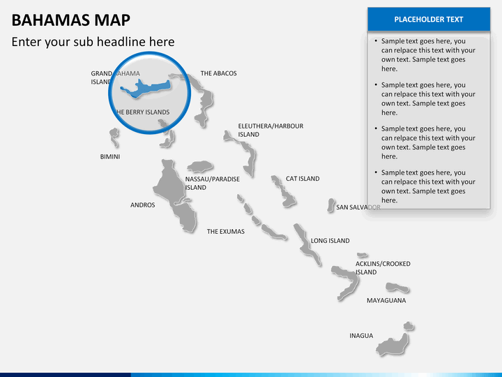
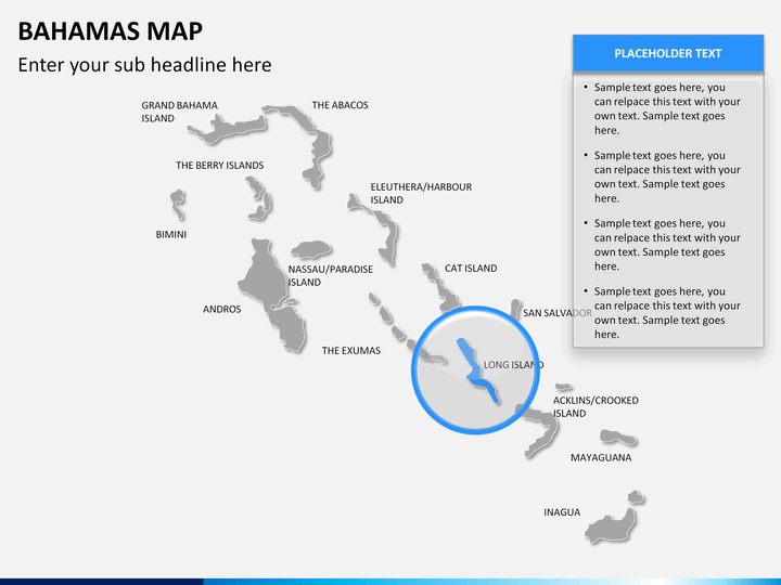
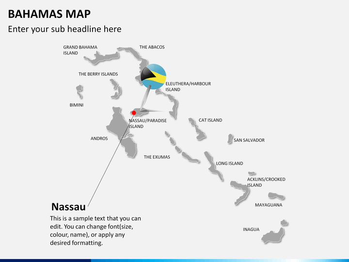
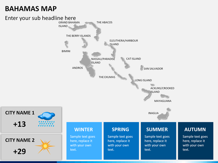
- The names of the islands are mentioned clearly.
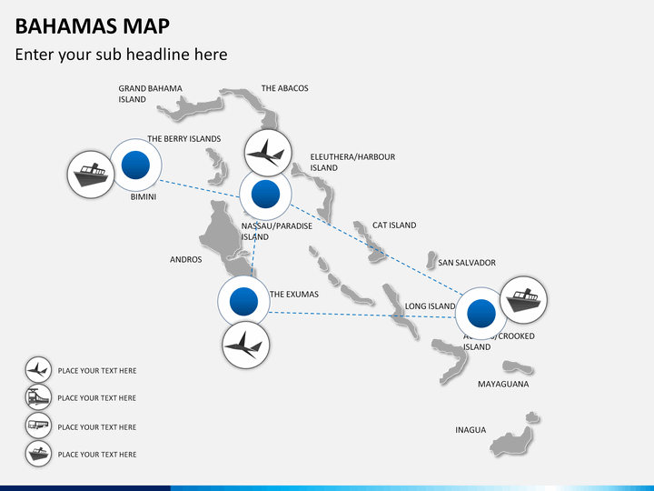
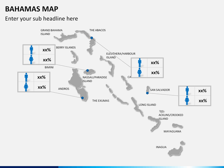
- One of the slides depicts a few famous islands connected through dotted lines.
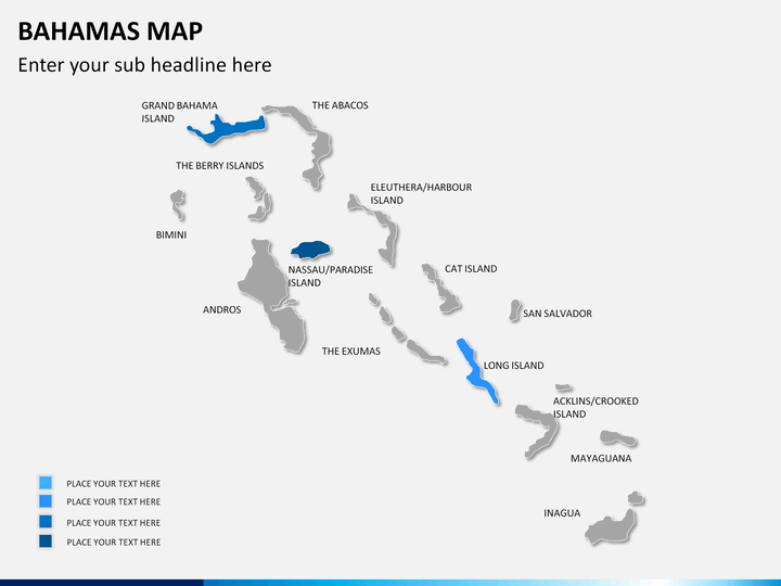
- In some slides, you will get a zoomed picture of the major islands.
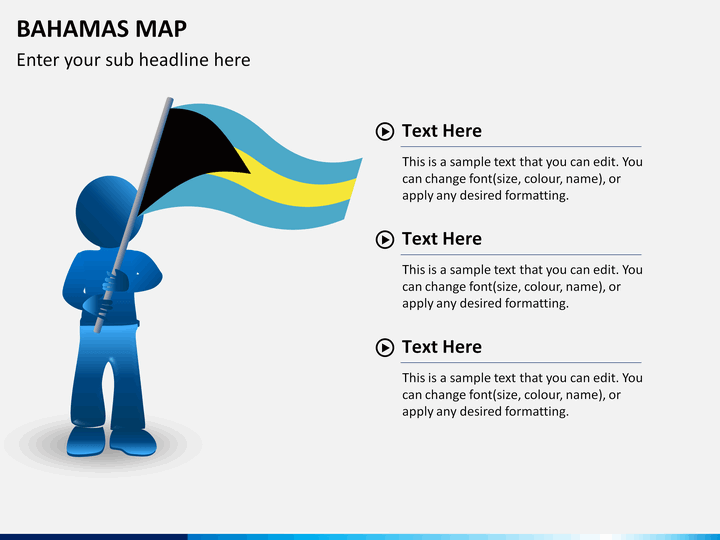
- You will also get a slide in which a man is standing with the flag of the Bahamas.
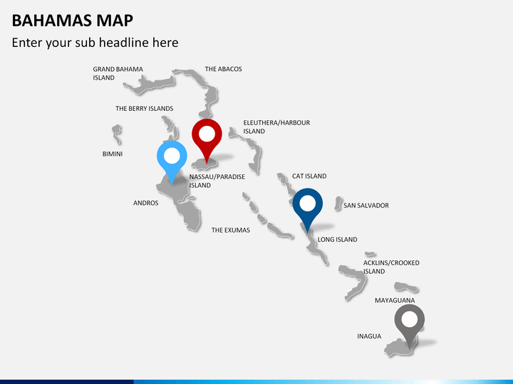
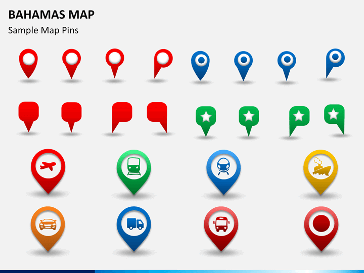
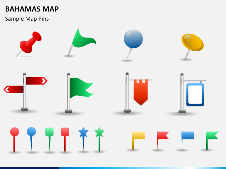
- A few slides have different designs of map pins, GPS markers, and flags, which you can use to showcase a particular location or area.
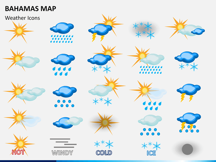
- The weather icons can be used to demonstrate the climate of different regions of the island.
If you want to present like a pro, download this template right away!