


Similar Products
- Sale

- Sale
- Sale
- Sale
- Sale
- Sale


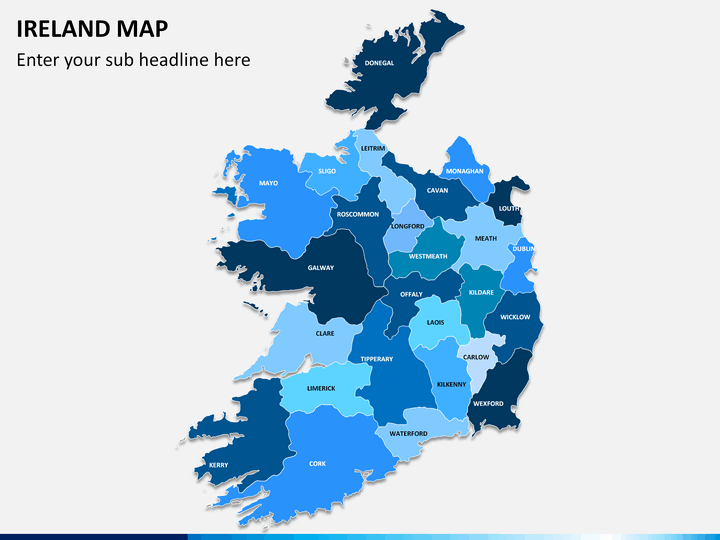
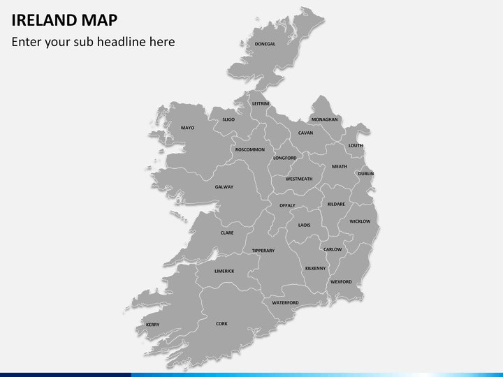
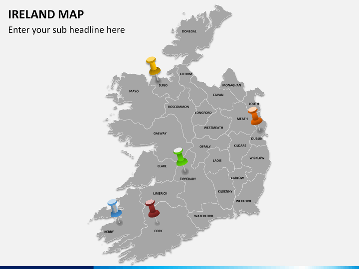
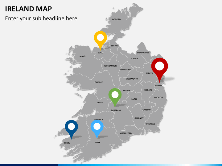
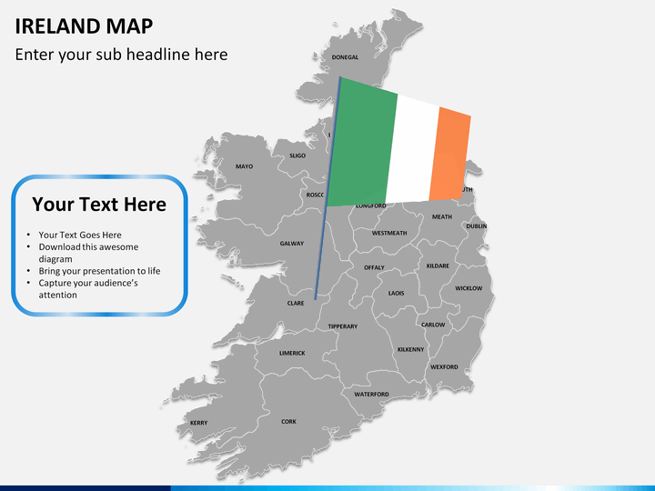
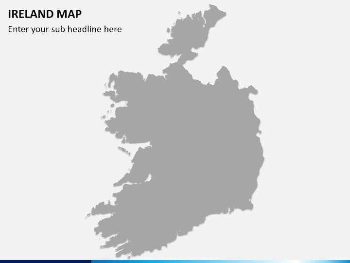
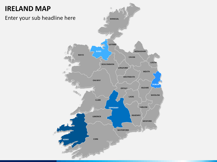
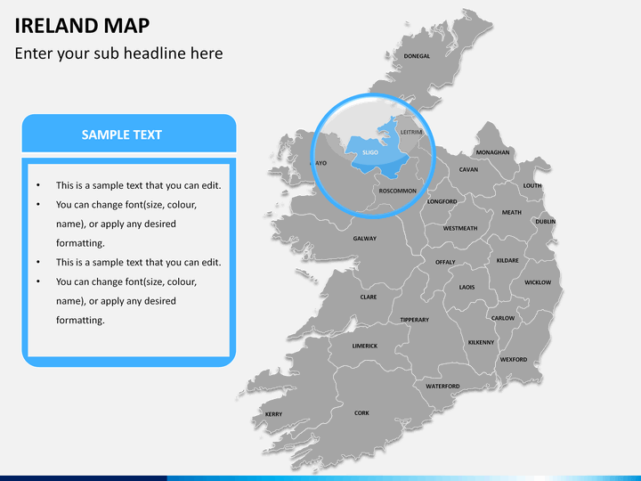
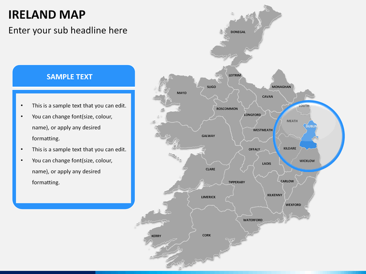
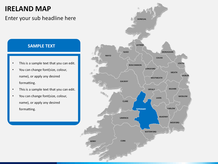
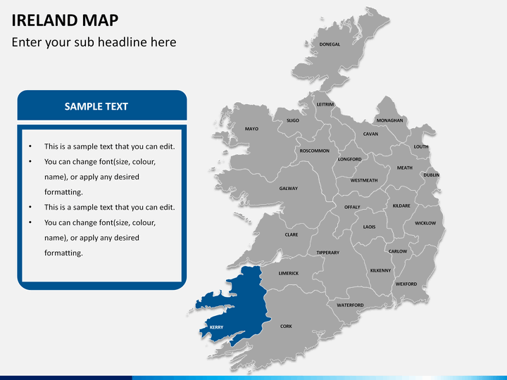
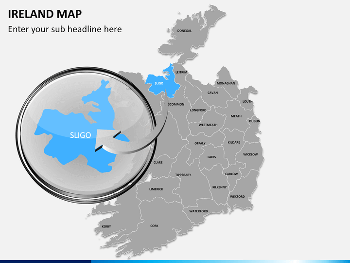
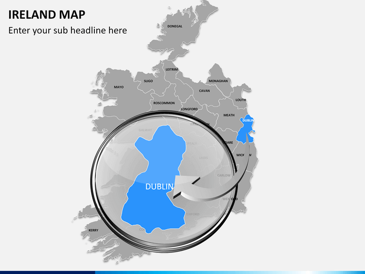
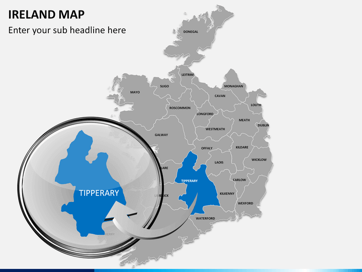
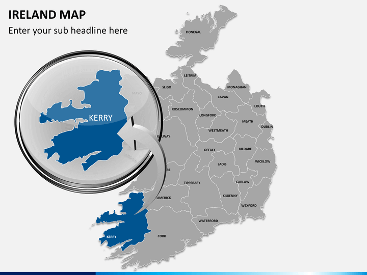
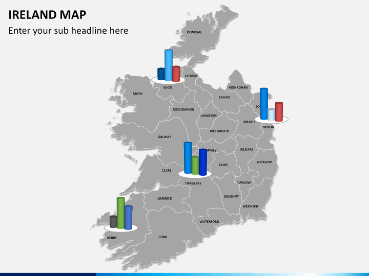
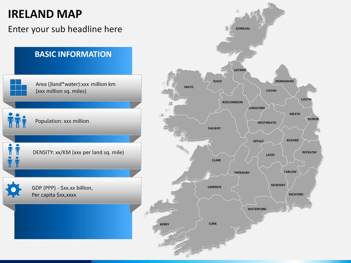
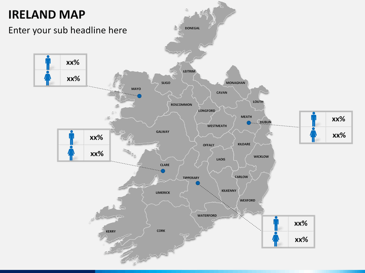
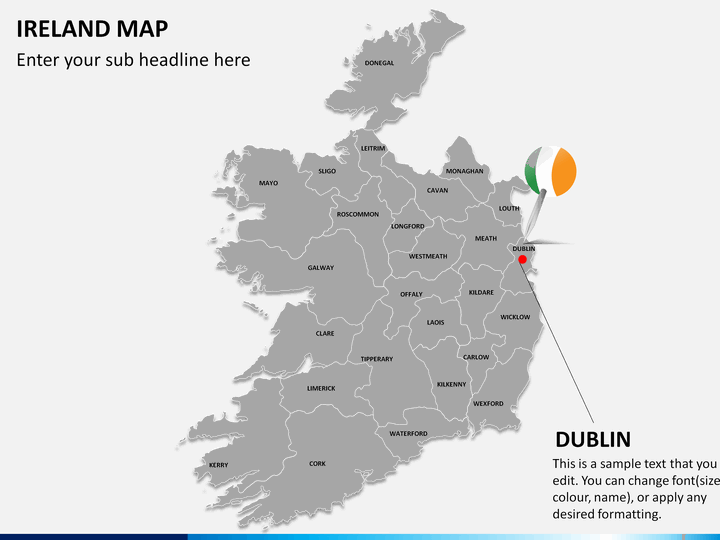
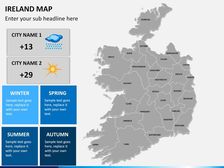
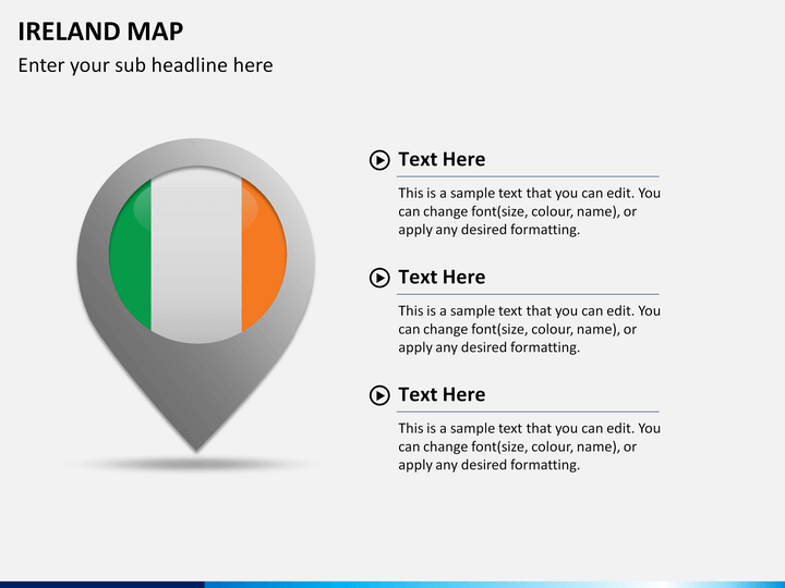
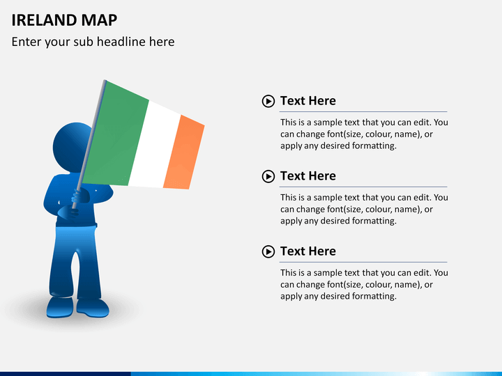
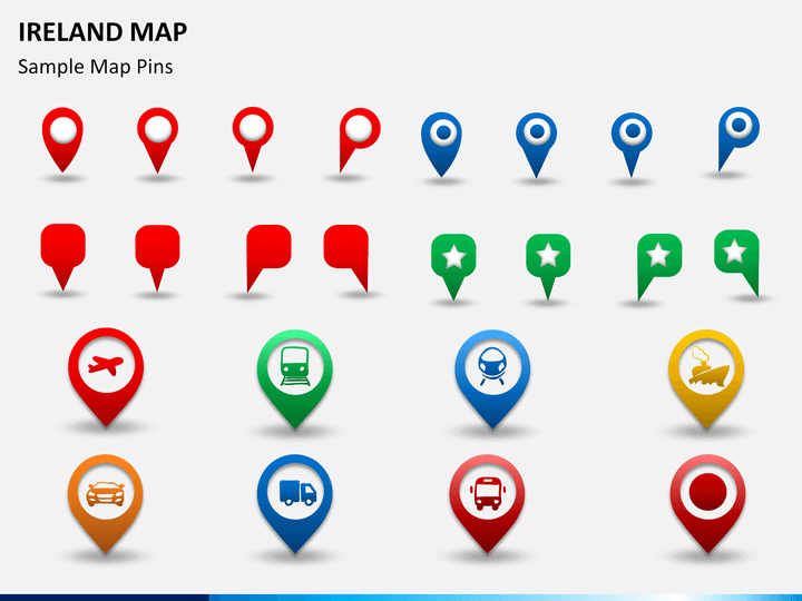
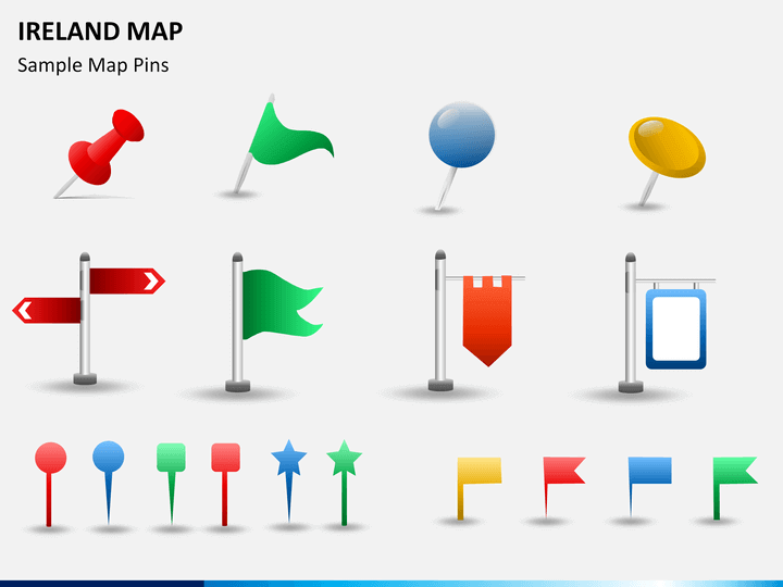
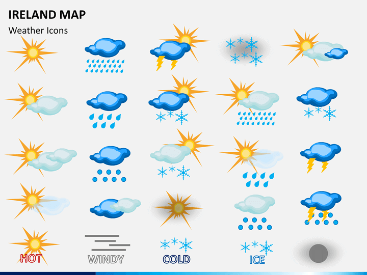
No doubts maps occupy important place in presentations, but it isn't an easy task to create them in slides. This is why, we bring to you pre-designed professionally made PowerPoint Ireland Map Template. You'll not only find it easy to create your visuals but will save a lot of time and efforts too. Being truly versatile, you can use the template for variety of purposes. You may be describing your business expansion and want to illustrate the new locations. It can be the marketing area that you want your team to be aware of. From focusing on flora and fauna of the place to highlighting the physical and political features, the slides are perfect for every use.
From using for corporate meetings to classroom teachings, the maps on the set prove beneficial in every case. Quick and easy to edit, slides offer complete customization option. From adding flags and pinpoints to highlighting particular areas, you can modify them most conveniently. You can play around the designing elements as per your need. Whether you want to enhance the shade of a certain city or add different colors to different parts of the entire island, you'll be done in just a couple of minutes.
About
Ireland is an island situated in the Atlantic Ocean. It is on the west of Great Britain and is separated from it by Irish Sea, North Channel and St Georges Channel. It is the second largest island of the British Isles archipelago and third largest in entire Europe. It is surrounded by low-lying mountains about the central plain along with many navigable rivers that extend to the interiors. The island is basically divided into two parts – Republic of Ireland and Northern Ireland. The former covers 5/6th of the area whereas the latter is a part of the UK.
It is one of the major contributors of European arts, culture, sports and literature. Holding a significant place in the history, it has its own unique importance and is quite popular for tourism. Geographically, it is beautiful place and also has its mark on global business sphere.
Write Your Own Review

Related Products


